

Cost estimate history
| Year | Tax | Assessment | Market |
|---|---|---|---|
| 2013 | N/A | $18,200 | $36,400 |
Advertisement
Continue Reading Below
Market Activities
To date, we have no information about market activities in 2025
Apr 2024
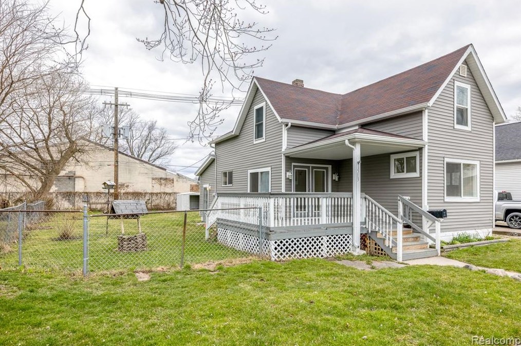
Listed for sale
Apr 2024
Listed for sale
Dec 2023
Sold
Nov 2023
Sold
Oct 2023
Sold
Poplar St Fire Incident History
To date, we have no information about fire incidents in 2025
18 Apr 2016
Building fires
Property Use —
1 or 2 family dwelling
Area of Origin —
Courtyard, patio, porch, terrace
First Ignition —
Box, carton, bag, basket, barrel
Heat Source —
Hot ember or ash
27 Jan 2008
Building fires
Property Use —
1 or 2 family dwelling
Area of Origin —
Cooking area, kitchen
First Ignition —
Cooking materials, including edible materials
Heat Source —
Heat from powered equipment, other
25 Dec 2007
Building fires
Property Use —
1 or 2 family dwelling
Area of Origin —
Ceiling & floor assembly, crawl space b/t stories
Heat Source —
Heat spread from another fire, other
1513 Poplar St incidents registered in FEMA
(Federal Emergency Management Agency)
To date, we have no information about incidents registered in FEMA in 2025
01 Aug 2011
Unauthorized burning
Property Use —
1 or 2 family dwelling
Poplar St Incidents registered in FEMA
(Federal Emergency Management Agency)
To date, we have no information about incidents registered in FEMA in 2025
29 Jul 2015
Hazardous condition, other
Property Use —
Residential street, road or residential driveway
11 Jun 2015
Unauthorized burning
Property Use —
Outside or special property, other
07 Jun 2015
Arcing, shorted electrical equipment
Property Use —
1 or 2 family dwelling
26 May 2015
Power line down
Property Use —
Open land or field
Properties Nearby
| Street Address |
|---|
1433 Poplar St, Port Huron, MI 48060-3545 Unspecified
|
1502 Poplar St, Port Huron, MI 48060-3328 Single Family Residential
|
1506 Poplar St, Port Huron, MI 48060-3328 Single Family Residential
|
1509 Poplar St, Port Huron, MI 48060-3327 Single Family Residential
|
1510 Poplar St, Port Huron, MI 48060-3328 Unspecified
|
1516 Poplar St, Port Huron, MI 48060-3328 Single Family Residential
|
1519 Poplar St, Port Huron, MI 48060-3327 Single Family Residential
|
1520 Poplar St, Port Huron, MI 48060-3328 Unspecified
|
1524 Poplar St, Port Huron, MI 48060-3328 Single Family Residential |
1532 Poplar St, Port Huron, MI 48060-3328 Single Family Residential
|


