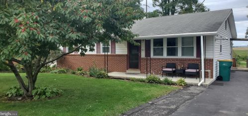
Residents
- 2 beds
- 1 bath
- 1,829 sqft
- Built in 1948
Facts
Lot size: 0.45 acres
Stories: 1.5
 Sold
$175,900
Sold
$175,900
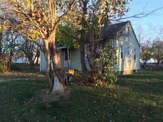
- 3 beds
- 1 bath
- 1,120 sqft
- Built in 1971
Facts
Lot size: 0.37 acres
Stories: 1
For Sale
$229,000
Advertisement
Continue Reading Below
- 2 beds
- 1 bath
- 955 sqft
- Built in 1945
Facts
Lot size: 0.31 acres
Stories: 1
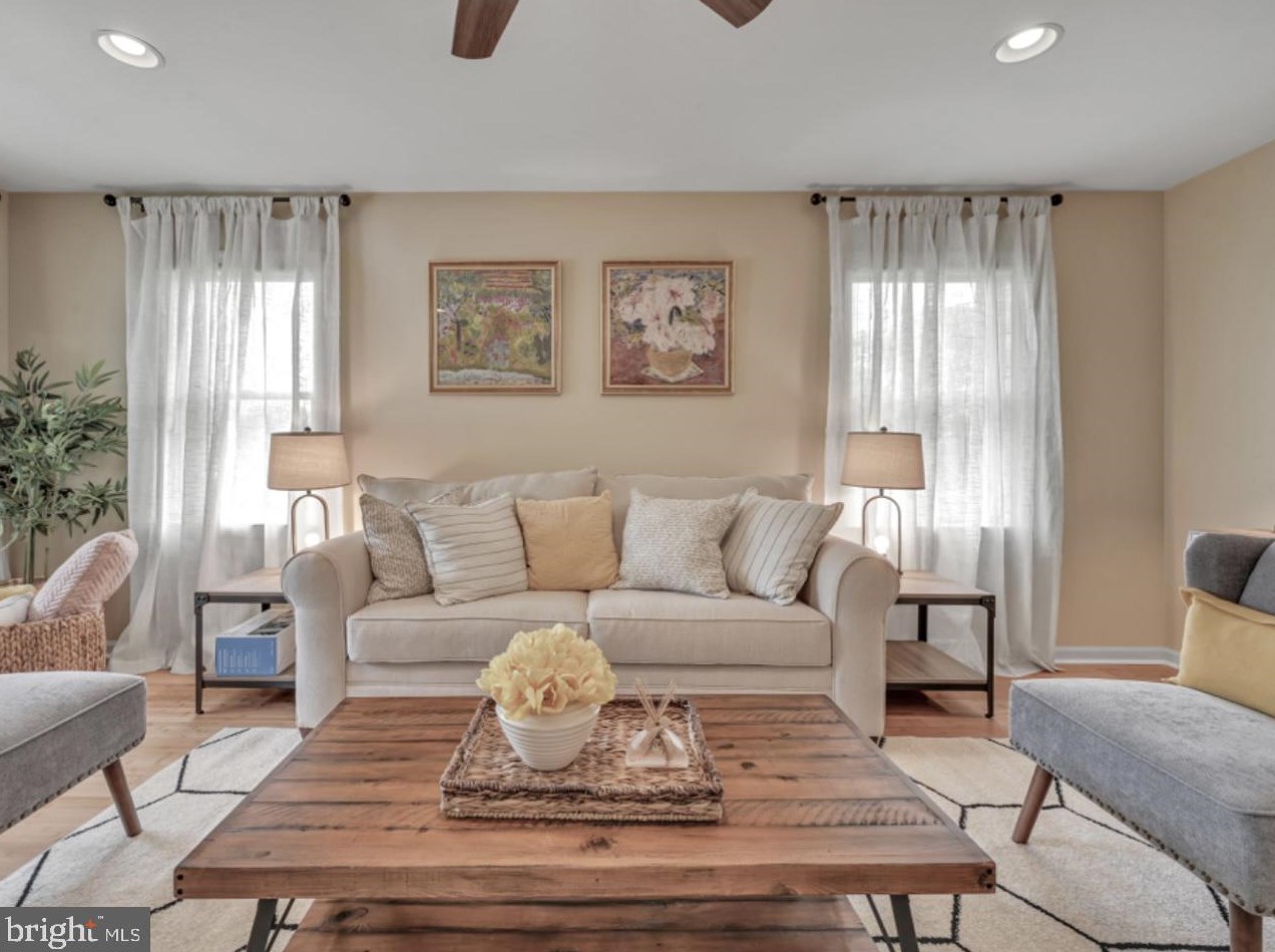
- 3 beds
- 2 baths
- 1,628 sqft
- Built in 2002
Facts
Lot size: 0.61 acres
Stories: 1
Parking: Garage - Attached, 400 sqft
- 2 beds
- 1 bath
- 1,013 sqft
- Built in 1948
Facts
Lot size: 1.05 acres
Stories: 1
Sold $69,900
- 3 beds
- 1 bath
- 1,120 sqft
- Built in 1975
Facts
Lot size: 0.34 acres
Stories: 1
Parking: Carport, 400 sqft
Advertisement
Continue Reading Below
- 4 beds
- 2 baths
- 2,107 sqft
- Built in 2010
Facts
Lot size: 0.73 acres
Stories: 1
Parking: Garage - Attached, 400 sqft
- 3 beds
- 2 baths
- 1,740 sqft
- Built in 1993
Facts
Lot size: 0.34 acres
Stories: 1
Advertisement
Continue Reading Below
- 3 beds
- 1 bath
- 1,472 sqft
- Built in 1950
Facts
Lot size: 7,501 sqft
Stories: 1
- 3 beds
- 1 bath
- 1,633 sqft
- Built in 1952
Facts
Lot size: 7,400 sqft
Stories: 1
- 2 beds
- 1 bath
- 1,480 sqft
- Built in 1956
Facts
Lot size: 7,501 sqft
Stories: 1
- 4 beds
- 1 bath
- 900 sqft
- Built in 1952
Facts
Lot size: 0.48 acres
Stories: 1
Parking: Off street
Advertisement
Continue Reading Below
Advertisement
Continue Reading Below
Advertisement
Continue Reading Below
Advertisement
Continue Reading Below
Market Activities
To date, we have no information about market activities in 2026
Apr 2024
Listed for rent
Apr 2024
Listed for rent
Mar 2024
Listed for rent
Jan 2024
Listed for rent
Mar 2023
Sold
Jan 2023
Sold
Nov 2022
Listed for sale
Mar 2021
Listed for sale
Dec 2018
Sold
Mar 2016
Sold
Mar 2016
Sold
Fire Incident History
To date, we have no information about fire incidents in 2026
16 Feb 2018
Cooking fire, confined to container
Property Use —
Food and beverage sales, grocery store
Area of Origin —
Cooking area, kitchen
First Ignition —
Cooking materials, including edible materials
Heat Source —
Radiated, conducted heat from operating equipment
26 Oct 2017
Fuel burner/boiler malfunction, fire confined
Property Use —
1 or 2 family dwelling
Area of Origin —
Service facilities, other
First Ignition —
Flammable liquid/gas - in/from final container
Heat Source —
Spark, ember or flame from operating equipment
23 Oct 2014
Passenger vehicle fire
Property Use —
Vehicle parking area
Area of Origin —
Engine area, running gear, wheel area
First Ignition —
Cooking materials, including edible materials
Heat Source —
Radiated, conducted heat from operating equipment
22 May 2005
Natural vegetation fire, other
Property Use —
Vehicle parking area
Area of Origin —
Highway, parking lot, street: on or near
First Ignition —
Light vegetation - not crop, including grass
Incidents registered in Federal Emergency Management Agency
To date, we have no information about incidents registered in FEMA in 2026
05 Feb 2015
Carbon monoxide incident
Property Use —
Food and beverage sales, grocery store
18 Dec 2014
Overheated motor
Property Use —
Hotel/motel, commercial
23 Oct 2014
Passenger vehicle fire
Property Use —
Food and beverage sales, grocery store
14 Aug 2013
Heat from short circuit (wiring), defective/worn
Property Use —
Hotel/motel, commercial
Crime Incidents History
To date, we have no information about crime incidents in 2026
05 Aug 2017
Assault
1100 Block Mae St, Hummelstown PA
Case Number —
17-0004490
Description —
ASSAULT (HARASSMENT/STALKING, BY COMMUNICATION)
03 Aug 2017
Theft
1100 Block Mae St, Hummelstown PA
Case Number —
17-0004431
Description —
THEFT - GENERAL
28 Jul 2017
Assault
1100 Block Mae St, Hummelstown PA
Case Number —
17-0004284
Description —
ASSAULT (HARASSMENT/STALKING, BY COMMUNICATION)
22 Jul 2017
Drugs
1100 Block Mae St, Hummelstown PA
Case Number —
17-0004136
Description —
DRUG OFFENSE
Advertisement
Continue Reading Below