Parham Rd, Bronson MI street index
| Block | Buildings | Properties | Businesses | Residents |
|---|---|---|---|---|
| 100-399 | 123-390 | 45 | 4 | 202 |
| 400+ | 409-6525 | 30 | 9 | 175 |
Residents
Advertisement
Continue Reading Below
Advertisement
Continue Reading Below
Advertisement
Continue Reading Below
Advertisement
Continue Reading Below
Advertisement
Continue Reading Below
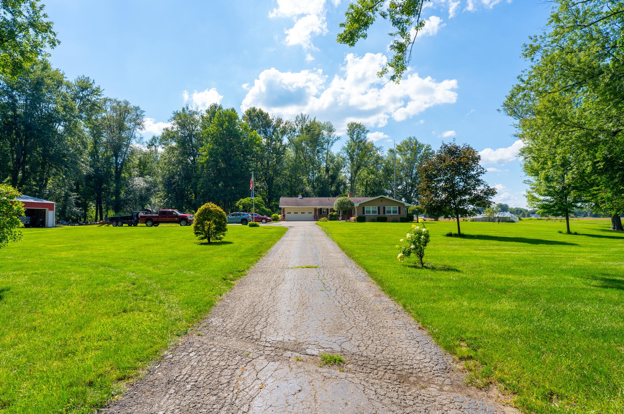
- Lot: 2.93 acres
Facts
Lot size: 2.93 acres

Sold $125,000
Advertisement
Continue Reading Below
- 4 beds
- 2 baths
- Lot: 14.17 acres
Facts
Lot size: 14.17 acres
Sold $410,000
Advertisement
Continue Reading Below
- 3 beds
- 1 bath
- Lot: 1.19 acres
- Built in 1920
Facts
Lot size: 1.19 acres
Rooms: 6
Parking: Paved or Surfaced

Advertisement
Continue Reading Below
Advertisement
Continue Reading Below
Advertisement
Continue Reading Below
Advertisement
Continue Reading Below
Market Activities
To date, we have no information about market activities in 2026
Mar 2023
Sold
Feb 2023
Sold
Nov 2022
Sold
Nov 2022
Sold
Aug 2018
Sold
Mar 2016
Sold
Jan 2016
Sold
Oct 2015
Sold
Fire Incident History
To date, we have no information about fire incidents in 2026
08 Nov 2002
Grass fire
Property Use —
Open land or field
Area of Origin —
Open area - outside; included are farmland, field
First Ignition —
Light vegetation - not crop, including grass
Heat Source —
Hot ember or ash
18 Jul 2002
Special outside fire, other
Property Use —
Graded and cared-for plots of land
Area of Origin —
Outside area, other
First Ignition —
Electrical wire, cable insulation
Heat Source —
Arcing
23 Jan 2002
Brush, or brush and grass mixture fire
Property Use —
Open land or field
Area of Origin —
Open area - outside; included are farmland, field
First Ignition —
Light vegetation - not crop, including grass
Heat Source —
Hot ember or ash
23 Jan 2002
Aircraft fire
Property Use —
Open land or field
Area of Origin —
Fuel tank, fuel line
First Ignition —
Flammable liquid/gas - in/from engine or burner
Heat Source —
Hot ember or ash
Incidents registered in Federal Emergency Management Agency
To date, we have no information about incidents registered in FEMA in 2026
29 Mar 2013
Building fires
06 Nov 2003
Building fires
21 May 2000
Arcing, shorted electrical equipment
Property Use —
Utility, defense, agriculture, mining, other
28 Oct 1999
Outside rubbish, trash or waste fire
Property Use —
Open land or field
Advertisement
Continue Reading Below