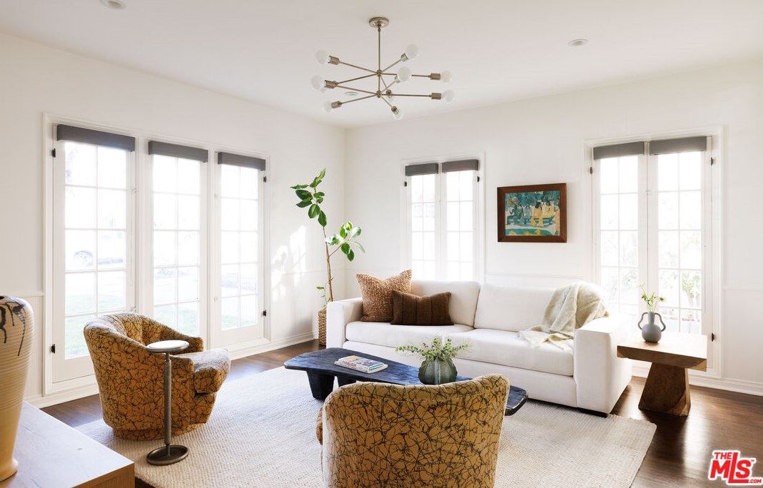


Purchase History
| Date | Event | Price | Source | Agents |
|---|---|---|---|---|
| 12/09/2013 | Sold | $1,300,013 | Public records | Kristin Morley |
| 06/28/2013 | Sold | $900,009 | Public records |
Cost estimate history
| Year | Tax | Assessment | Market |
|---|---|---|---|
| 2014 | $16,175 | $1,300,000 | N/A |
Advertisement
Continue Reading Below
Market Activities
Mansfield Ave Fire Incident History
To date, we have no information about fire incidents in 2025
05 Oct 2019
Outside rubbish, trash or waste fire
Property Use —
Street or road in commercial area
Area of Origin —
Outside area, other
First Ignition —
Multiple items first ignited
28 Jun 2019
Outside rubbish, trash or waste fire
Property Use —
Street or road in commercial area
Area of Origin —
Outside area, other
First Ignition —
Multiple items first ignited
18 Jun 2019
Outside rubbish, trash or waste fire
Property Use —
Street or road in commercial area
Area of Origin —
Outside area, other
First Ignition —
Multiple items first ignited
15 Mar 2019
Building fires
Property Use —
1 or 2 family dwelling
Area of Origin —
Attic: vacant, crawl space above top story, cupola
First Ignition —
Insulation within structural area
Heat Source —
Arcing
Mansfield Ave Incidents registered in FEMA
(Federal Emergency Management Agency)
To date, we have no information about incidents registered in FEMA in 2025
09 Aug 2014
Power line down
Property Use —
Residential street, road or residential driveway
Properties Nearby
| Street Address |
|---|
322 Mansfield Ave, Los Angeles, CA 90036-2624 Multi-Family Home
|
514 Mansfield Ave, Los Angeles, CA 90036-2012 Single Family Residential
|
727 Mansfield Ave, Los Angeles, CA 90038-3405 Multi-Family Home
|
732 Mansfield Ave, Los Angeles, CA 90038-3406 Single Family
|