Purchase History
| Date | Event | Price | Source | Agents |
|---|---|---|---|---|
| 11/27/2013 | Sold | $413,500 | Public records | |
| 11/20/2013 | Sold | $413,500 | Agent Submission | Beau Otis |
| 07/13/2005 | Sold | $85,000 | Public records |
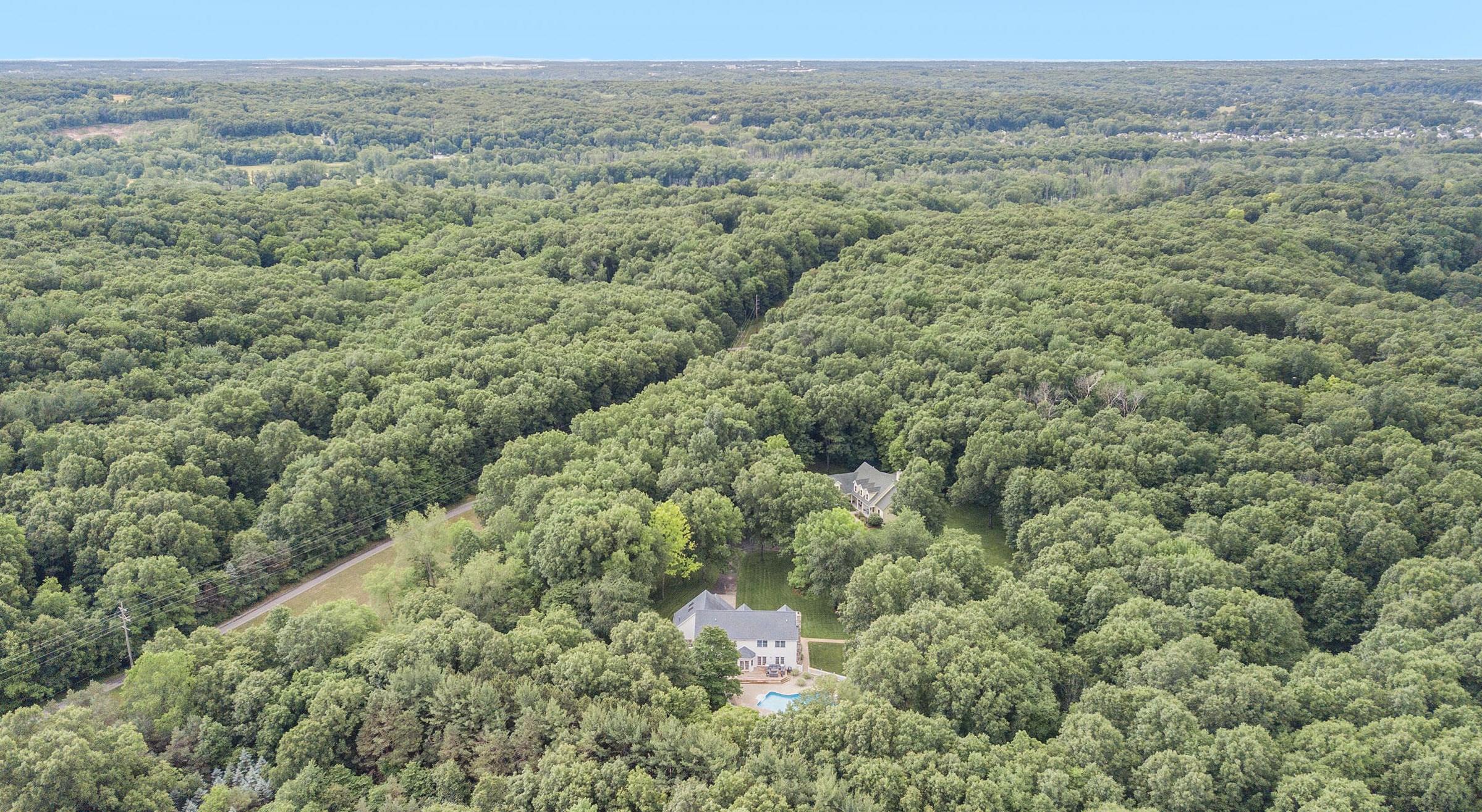
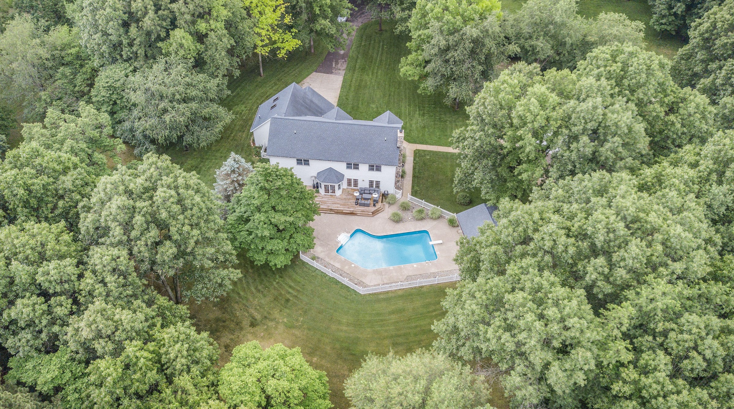
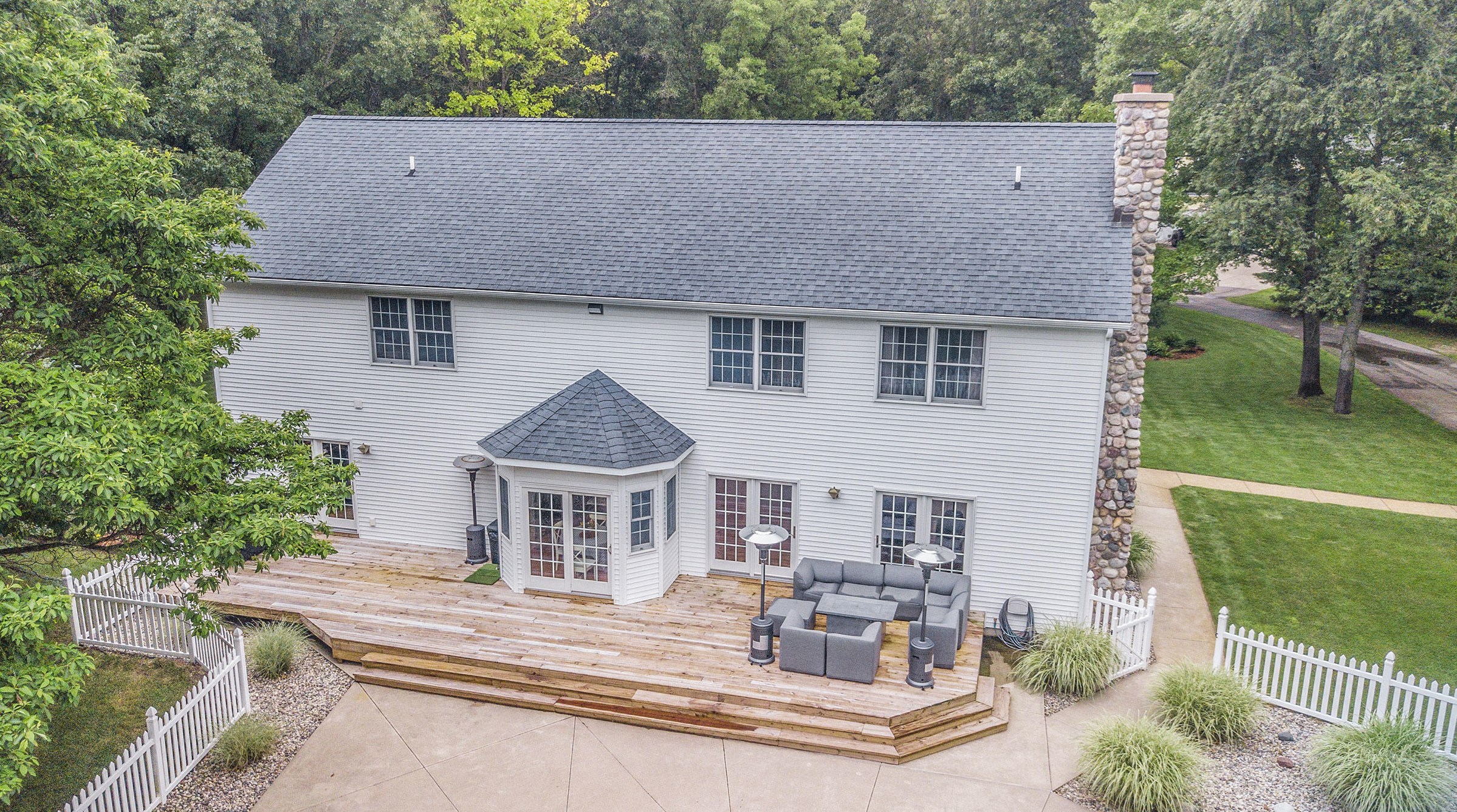
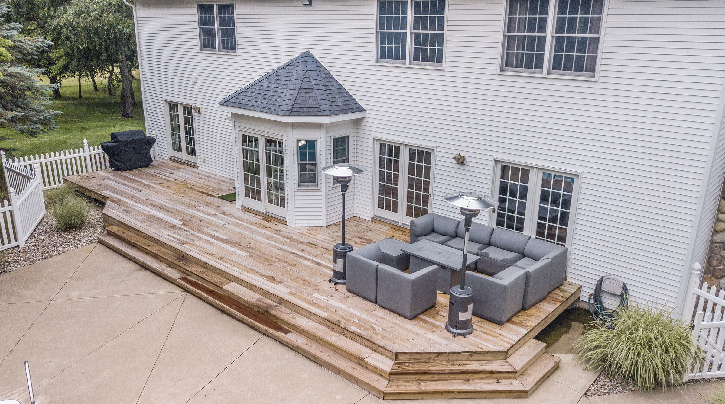
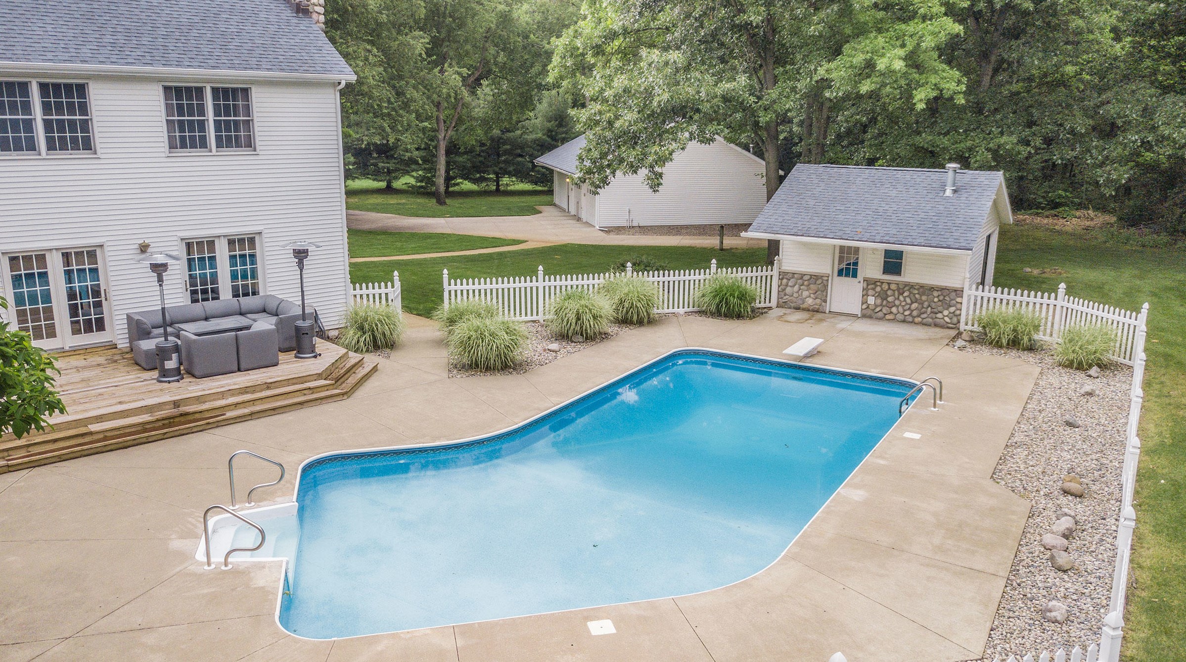
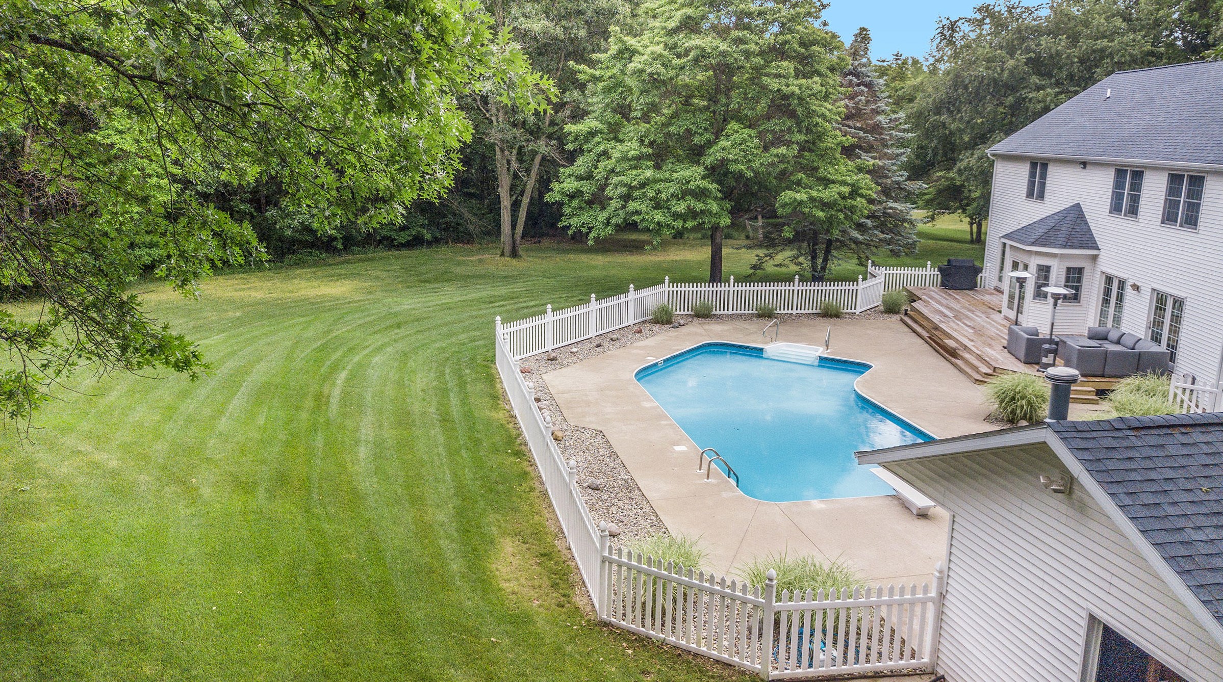
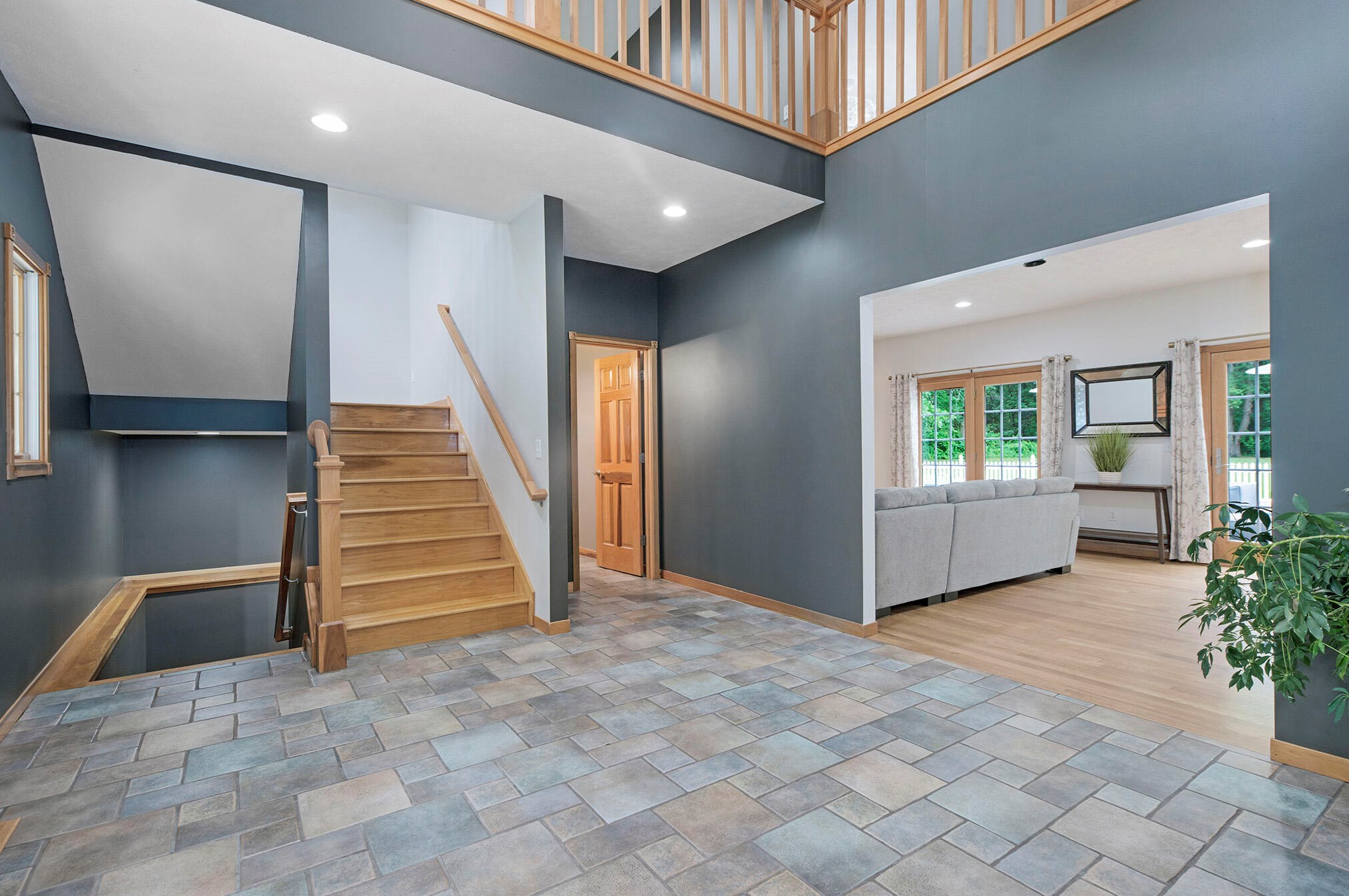
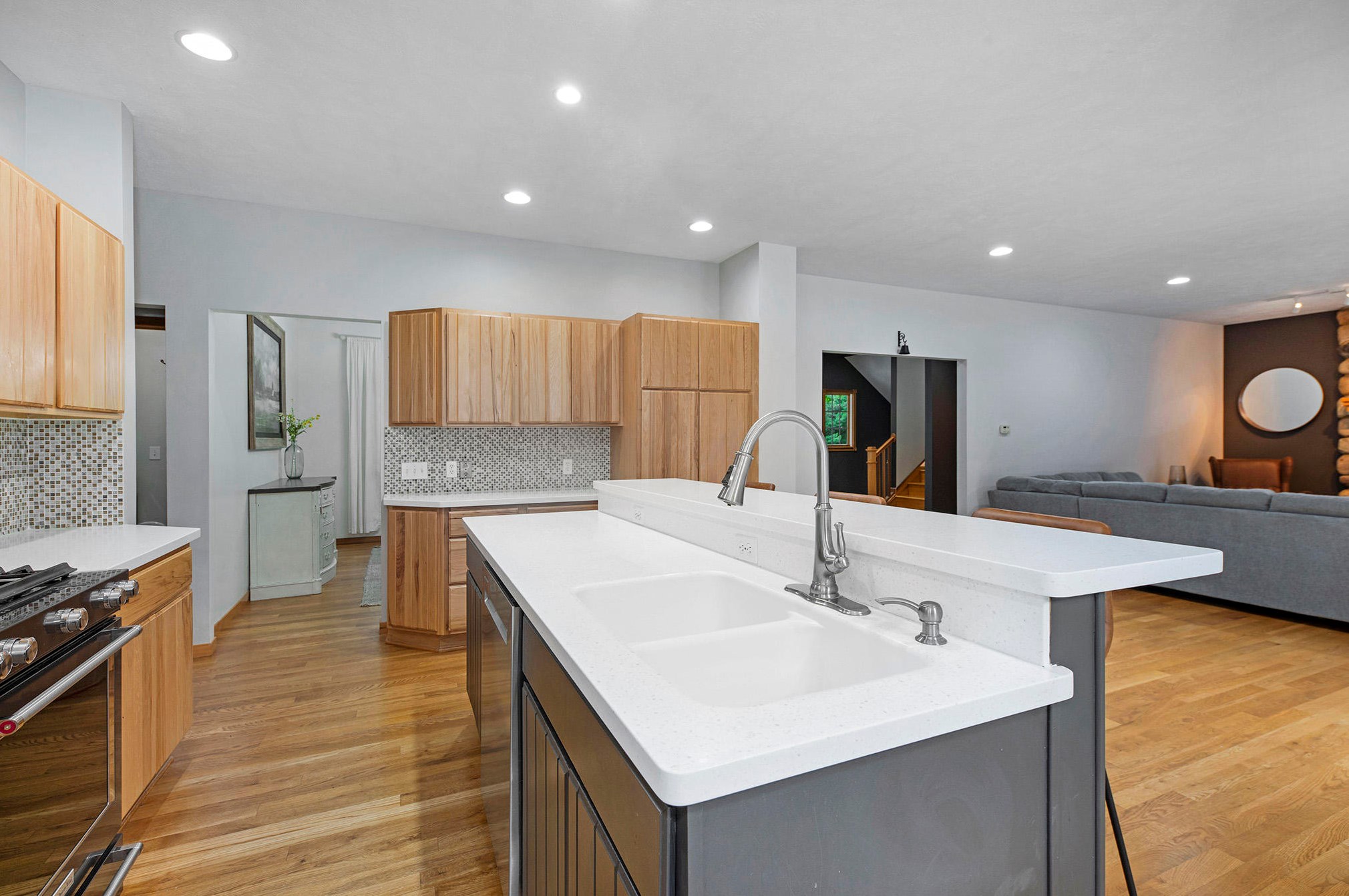
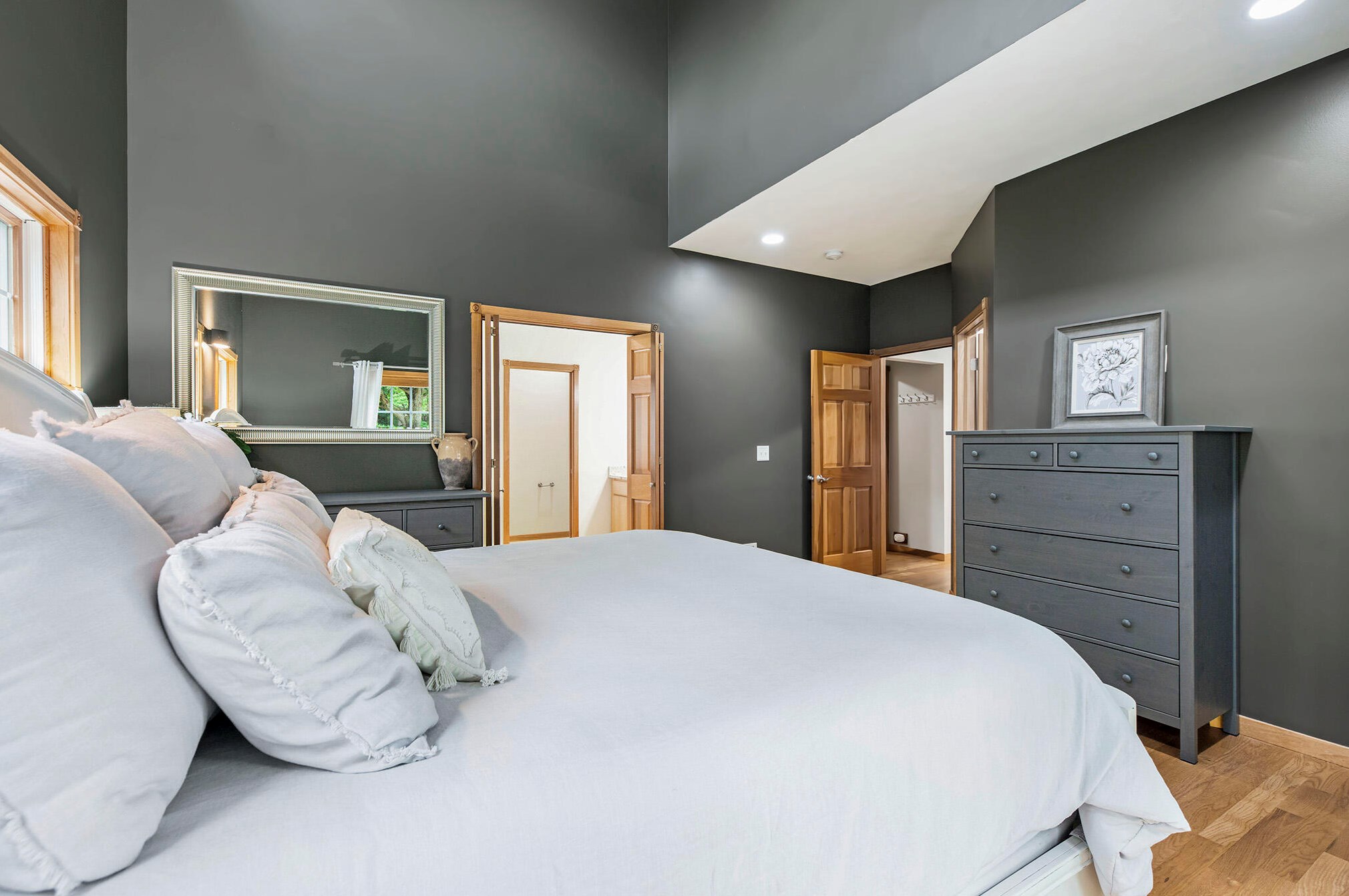
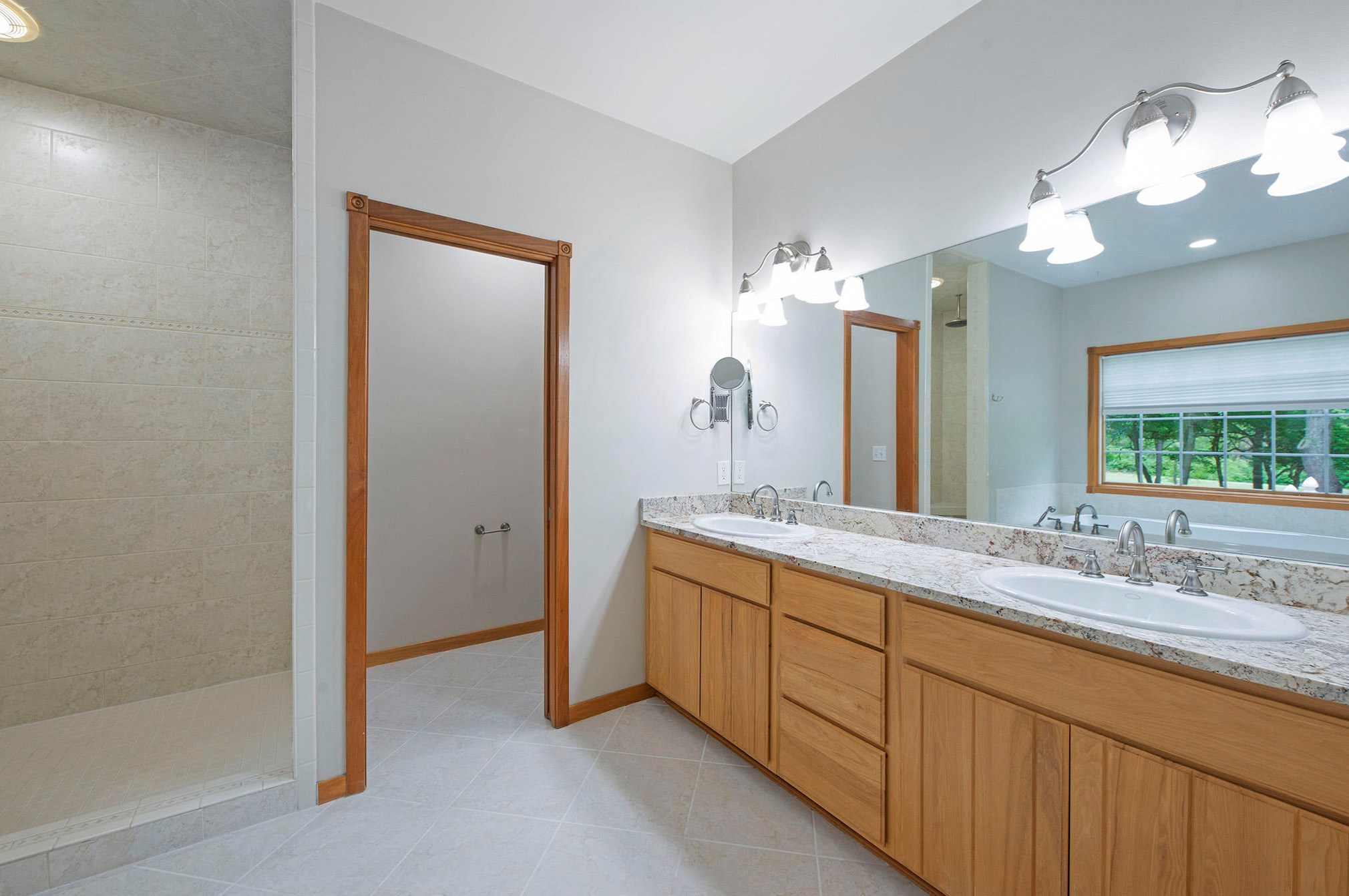
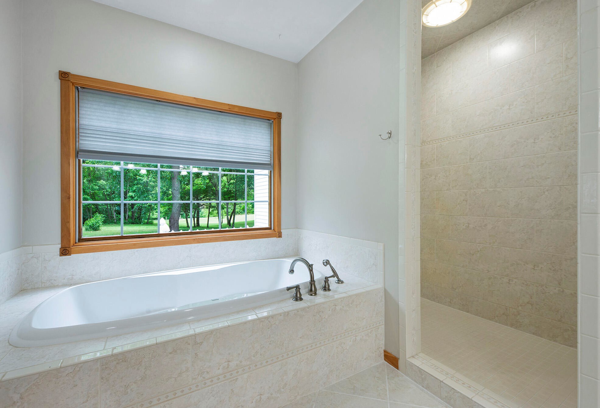
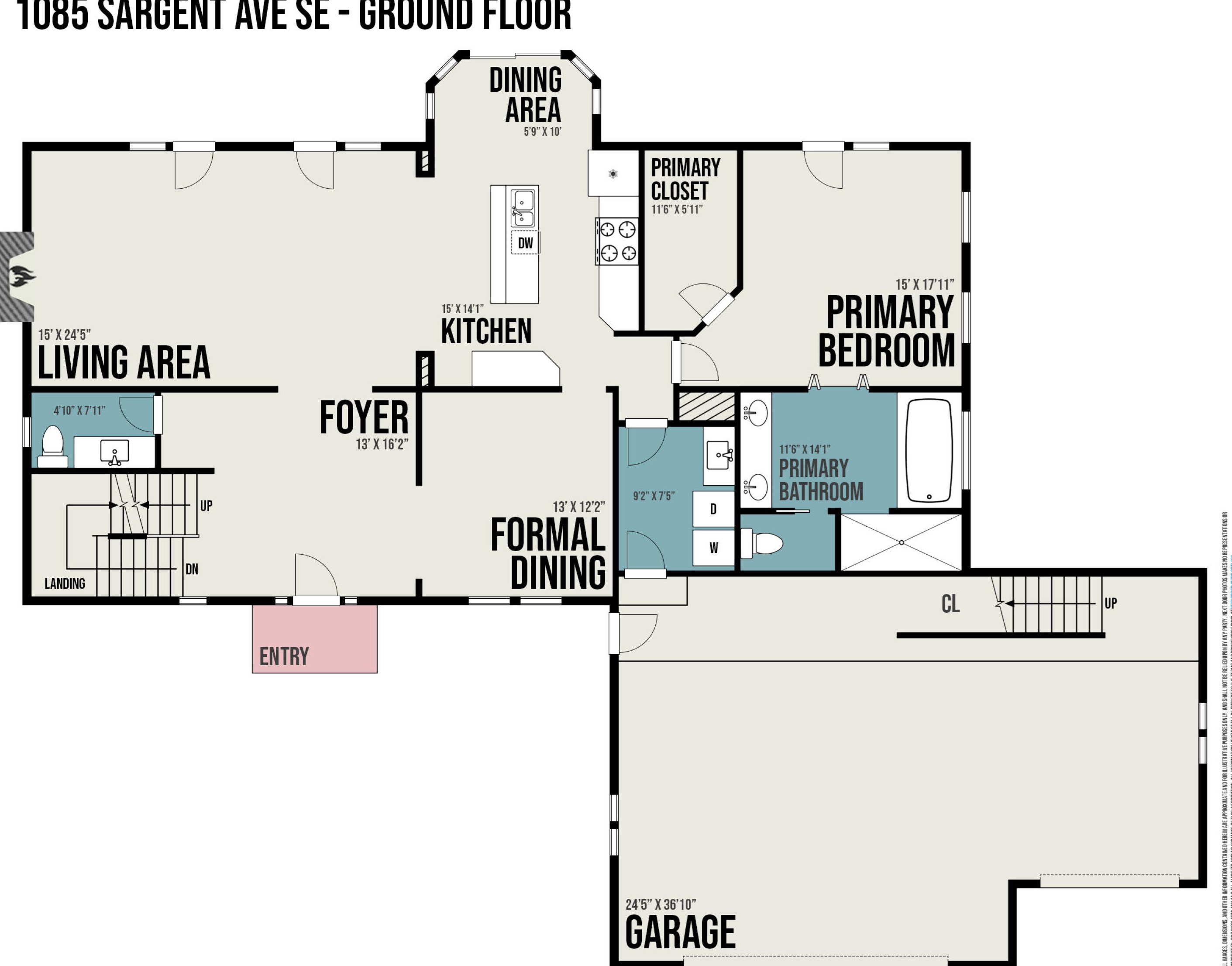
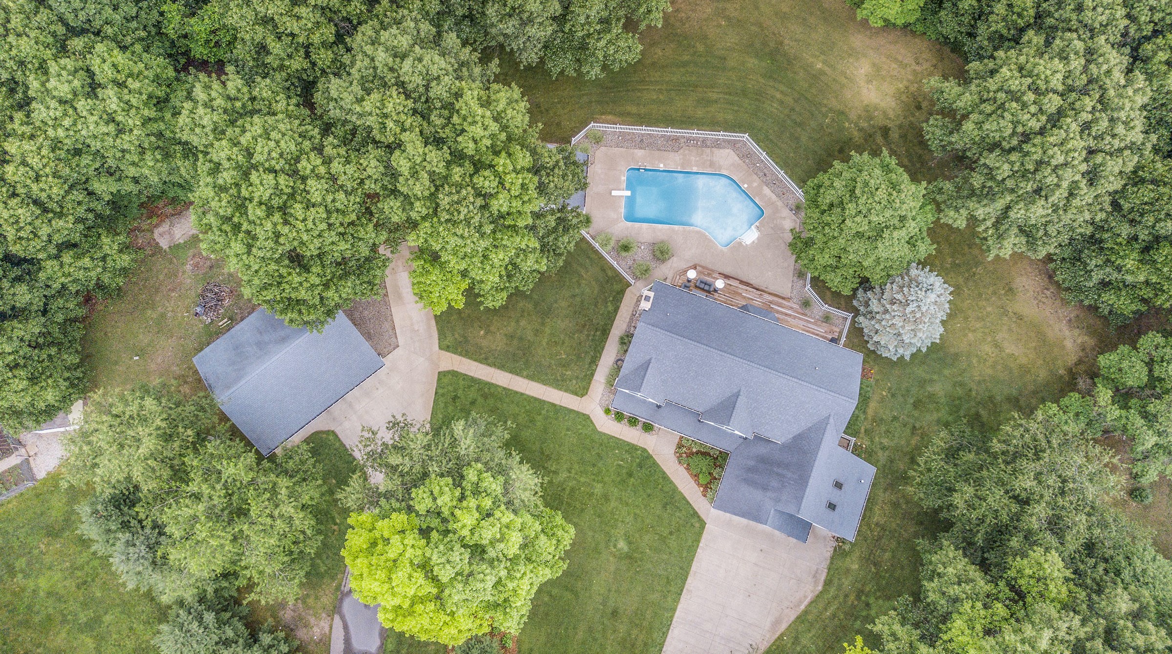
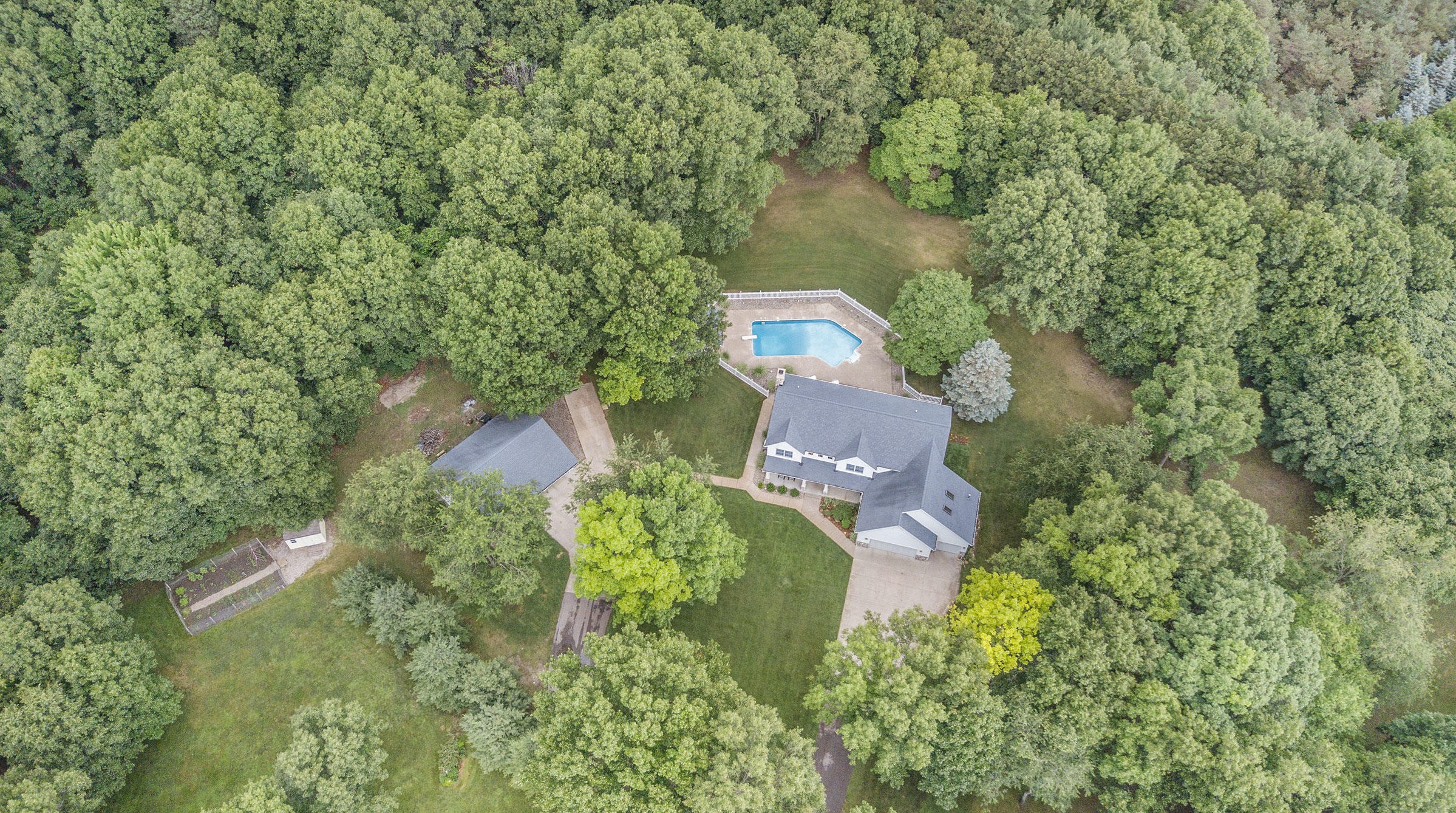
PURCHASE HISTORY 1085 Sargent Ave, Ada MI
Cost estimate history
| Year | Tax | Assessment | Market |
|---|---|---|---|
| 2012 | N/A | N/A | $421,800 |
| 2011 | N/A | $210,900 | N/A |
Advertisement
Continue Reading Below
Market Activities
Sargent Ave Fire Incident History
To date, we have no information about fire incidents in 2025
13 Nov 2010
Off-road vehicle or heavy equipment fire
Property Use —
Open land or field
Area of Origin —
Separate operator/control area of transportation
First Ignition —
Light vegetation - not crop, including grass
Heat Source —
Flying brand, ember, spark
08 Aug 2005
Passenger vehicle fire
Property Use —
Residential street, road or residential driveway
Area of Origin —
Engine area, running gear, wheel area
Sargent Incidents registered in FEMA
(Federal Emergency Management Agency)
To date, we have no information about incidents registered in FEMA in 2025
17 Nov 2011
Authorized controlled burning
Property Use —
Open land or field
22 Sep 2010
Power line down
Property Use —
Residential street, road or residential driveway
27 Aug 2008
Gas leak (natural gas or LPG)
Property Use —
1 or 2 family dwelling
18 May 2008
Authorized controlled burning
Property Use —
Open land or field
Properties Nearby
| Street Address |
|---|
1017 Sargent Ave, Ada, MI 49301-9168 Single Family Residential
|
1075 Sargent Ave, Ada, MI 49301-9168 Single Family Residential
|