
Cost estimate history
| Year | Tax | Assessment | Market |
|---|---|---|---|
| 2014 | N/A | $161,600 | N/A |
| 2012 | N/A | N/A | $161,600 |
| 2011 | $2,137 | N/A | N/A |
Advertisement
Continue Reading Below
Market Activities
Locust Ave Fire Incident History
To date, we have no information about fire incidents in 2025
06 May 2015
Building fires
Property Use —
1 or 2 family dwelling
Area of Origin —
Cooking area, kitchen
First Ignition —
Item First Ignited, Other
Heat Source —
Radiated, conducted heat from operating equipment
24 Oct 2009
Building fires
Property Use —
1 or 2 family dwelling
Area of Origin —
Wall surface: exterior
First Ignition —
Exterior wall covering or finish
Heat Source —
Arcing
13 Apr 2005
Passenger vehicle fire
Property Use —
Vehicle parking area
Area of Origin —
Operator/passenger area of transportation equip.
First Ignition —
Rubbish, trash, or waste
Heat Source —
Cigarette
Locust Ave Incidents registered in FEMA
(Federal Emergency Management Agency)
To date, we have no information about incidents registered in FEMA in 2025
12 May 2012
Outside rubbish, trash or waste fire
Property Use —
1 or 2 family dwelling
23 Nov 2008
Fire, other
28 Jul 2008
Power line down
Property Use —
1 or 2 family dwelling
07 Dec 2007
Hazardous condition, other
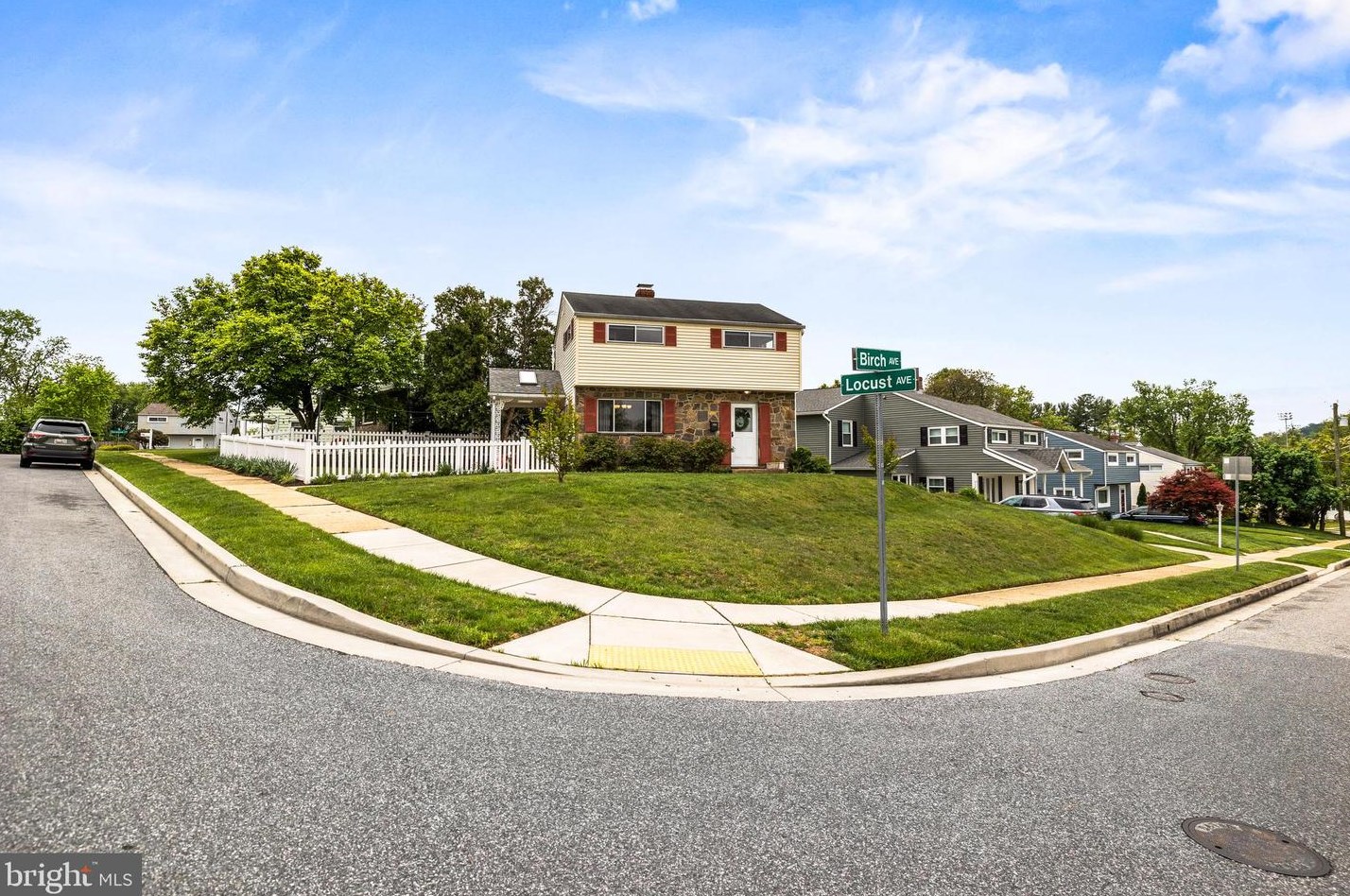
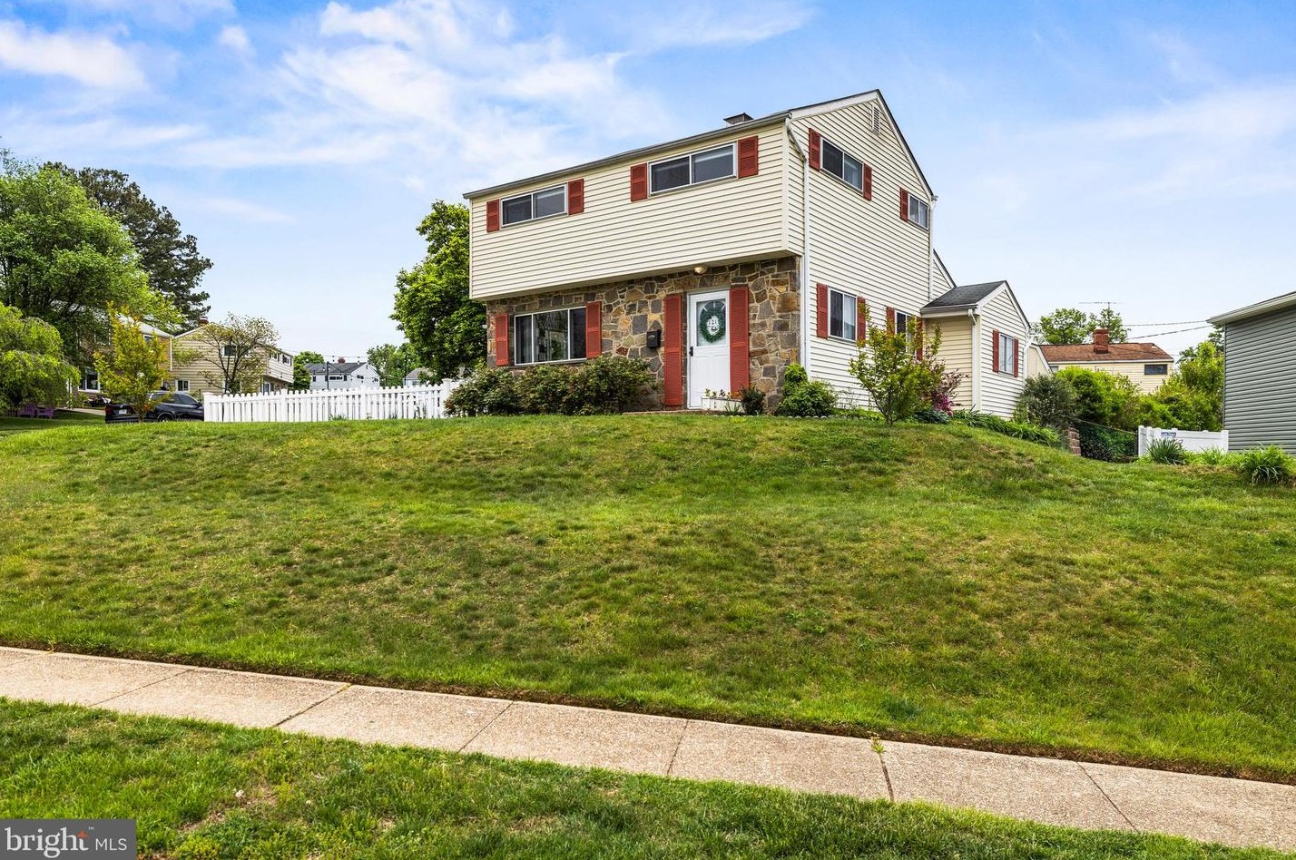
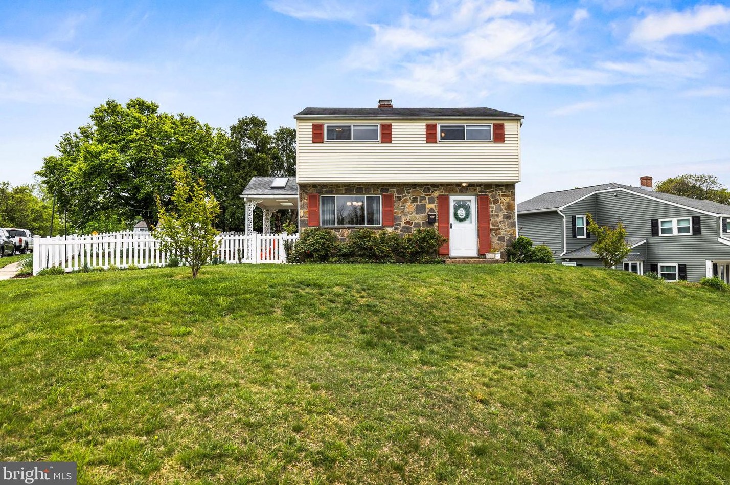
Properties Nearby
| Street Address |
|---|
309 Locust Ave, Baltimore, MD 21221-3044 Single Family Residential
|
314 Locust Ave, Baltimore, MD 21221-3043 Single Family Residential
|
1211 Locust Ave, Baltimore, MD 21227-2629 Single Family Residential
|
1216 Locust Ave, Baltimore, MD 21227-2628 Single Family Residential
|
1220 Locust Ave, Baltimore, MD 21227-2628 Single Family Residential
|
1238 Locust Ave, Baltimore, MD 21227-2632 Single Family Residential
|
1244 Locust Ave, Baltimore, MD 21227-2632 Single Family Residential
|
1409 Locust Ave, Baltimore, MD 21204-6522 Single Family Residential
|
1507 Locust Ave, Baltimore, MD 21204-6524 Single Family Residential
|
1508 Locust Ave, Baltimore, MD 21204-6523 Lot/Land
|