17 Circle Dr Meredith, NH 03253 / 6304

Residence for Single Family

(UPDATED: 10/17/2025)
  • 3 Beds
  • 1 Baths
  • 1.324 square feet
Sold May 2021
$285,000
Property Report

Information about property on 17 Circle Dr, Meredith NH, 03253-6304. Find out owner contacts, building history, price, neighborhood at Homemetry Address Directory.

Property Details

This property has more than thirteen hundred square feet of habitable area and sits on 0,15 acres.

Facts

  • Built in 1946
  • Lot size 6,525 sqft
  • Floor size 1,324 sqft
  • Rooms 6
  • Bedrooms 3
  • Bathrooms 1,5
  • Stories 1
  • Last remodel year 2000
  • Structure type Ranch
  • Heating & Cooling
  • Heat type Oil, Other
  • Exterior Home Features
  • Exterior material Other, Vinyl
  • Roof type Asphalt
Advertisement
Continue Reading Below

Listing info

  • Last sold Feb 2004 for $137,900

Householders and Tenants for 17 Circle Dr, Meredith NH

Advertisement
Continue Reading Below

Where is 17 Circle Dr, Meredith NH located on map?

Market Activities

To date, we have no information about market activities in 2026
May 2021 Sold
17 Circle Dr
Price history :
  • Single Family
  • 1,396 sqft
  • 3 beds
  • 2 baths
Apr 2021 Sold
17 Circle Dr
Price history :
  • Single Family
  • 1,396 sqft
  • 3 beds
  • 2 baths

View more

Circle Dr Fire Incident History

To date, we have no information about fire incidents in 2026
16 Sep 2006 Building fires
Property Use —
Warehouse
Area of Origin —
Function area, other
First Ignition —
Magazine, newspaper, writing paper
Heat Source —
Heat from other open flame or smoking materials
16 Jul 2002 Building fires
Property Use —
1 or 2 family dwelling
Area of Origin —
Cooking area, kitchen
First Ignition —
Item First Ignited, Other
Heat Source —
Radiated, conducted heat from operating equipment

Cir Dr Incidents registered in FEMA
(Federal Emergency Management Agency)

To date, we have no information about incidents registered in FEMA in 2026
13 Jun 2015 Authorized controlled burning
Property Use —
Graded and cared-for plots of land
28 Dec 2014 Authorized controlled burning
Property Use —
Graded and cared-for plots of land
11 Mar 2014 Unauthorized burning
Property Use —
Forest, timberland, woodland
19 Sep 2013 Oil or other combustible liquid spill
Property Use —
Residential street, road or residential driveway

View more

Properties Nearby

Street Address
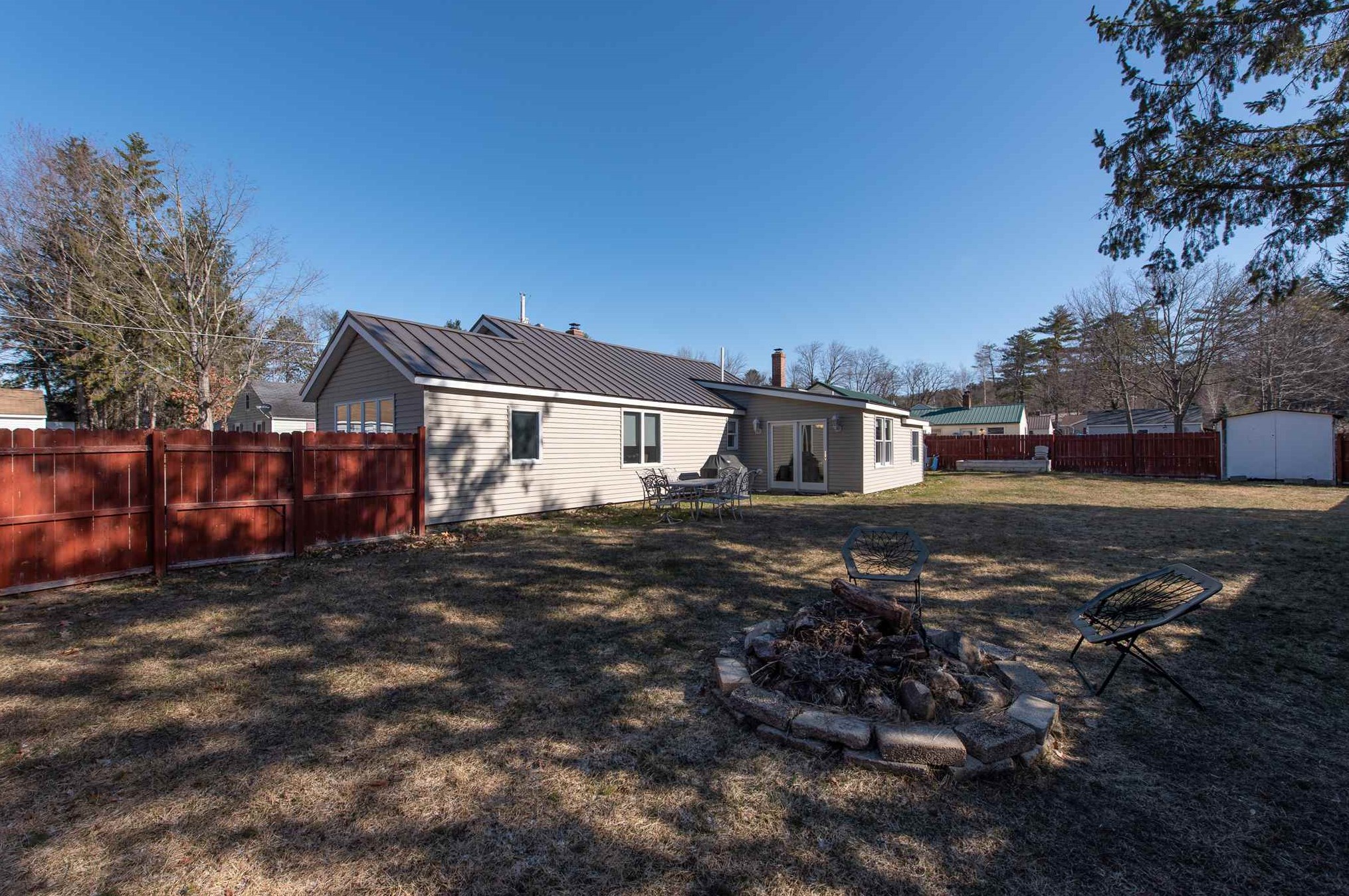
10 Cir Dr, Meredith, NH 03253-6304
Single Family Residential
  • 2 beds
  • 1 bath
  • Lot: 0.66 acres
  • Built in 1946
19 Cir Dr, Meredith, NH 03253-6304
Single Family
  • 2 beds
  • 1 bath
  • 1,360 sqft
  • Built in 1946
22 Cir Dr, Meredith, NH 03253-6304
Single Family Residential
  • 3 beds
  • 1 bath
  • Lot: 0.37 acres
  • Built in 1946
23 Cir Dr, Meredith, NH 03253-6304
Single Family Residential
  • 3 beds
  • 1 bath
  • Lot: 8,650 sqft
  • Built in 1946
30 Cir Dr, Meredith, NH 03253-6304
Single Family
  • 2 beds
  • 1 bath
  • Lot: 0.62 acres
  • Built in 1948
 

FAQ about the house at 17 Cir Dr, Meredith, NH

Advertisement

NOTICE: You may not use Homemetry or the information it provides to make decisions about employment, credit, housing or any other purpose that would require Fair Credit Reporting Act (FCRA) compliance. Homemetry is not a Consumer Reporting Agency (CRA) as defined by the FCRA and does not provide consumer reports.