19 Cortland Dr, Manchester NH  03110-4225 exterior 19 Cortland Dr, Manchester NH  03110-4225 exterior 19 Cortland Dr, Manchester NH  03110-4225 exterior

19 Cortland Dr Manchester, NH 03110 / 4225

Residence for Single Family

(UPDATED: 07/04/2022)
  • 4 Beds
  • 2 Baths
  • 2.606 square feet
For Sale
$690,000
Property Report

Information about property on 19 Cortland Dr, Manchester NH, 03110-4225. Find out owner contacts, building history, price, neighborhood at Homemetry Address Directory.

Property Details

A colonial style single-family two home at 19 Cortland Dr, Manchester, New Hampshire.

Facts

  • Built in 1993
  • Lot size 1,83 acres
  • Floor size 2,606 sqft
  • Rooms 9
  • Bedrooms 4
  • Bathrooms 2,5
  • Stories 2 story
  • Structure type Colonial
  • Heating & Cooling
  • Heat type Hot Water
  • Exterior Home Features
  • Exterior material Wood
  • Exterior walls Wood Siding
  • Roof type Asphalt
Advertisement
Continue Reading Below

Listing info

  • Last sold Dec 1991 for $28,500

Householders and Tenants for 19 Cortland Dr, Manchester NH

Businesses

Organization Phone Number Additional Info
Thomas Caron
Industry:
Management Consulting Services

Cost estimate history

YearTaxAssessmentMarket
2013 $8,518 $384,200 N/A
Advertisement
Continue Reading Below

Where is 19 Cortland Dr, Manchester NH located on map?

Market Activities

To date, we have no information about market activities in 2026
Jul 2022 Listed for sale
19 Cortland Dr
Price history :
  • Single Family
  • 3,212 sqft
  • 4 beds
  • 4 baths

View more

Cortland Dr Fire Incident History

To date, we have no information about fire incidents in 2026
28 Jun 2018 Building fires
Property Use —
Construction site
Area of Origin —
Bathroom, checkroom, lavatory, locker room
First Ignition —
Flammable liquid/gas in container or pipe
Heat Source —
Heat from other open flame or smoking materials

Cortland Dr Incidents registered in FEMA
(Federal Emergency Management Agency)

To date, we have no information about incidents registered in FEMA in 2026
18 Mar 2013 Chimney or flue fire, confined to chimney or flue
Property Use —
1 or 2 family dwelling
14 Jan 2012 Carbon monoxide incident
Property Use —
1 or 2 family dwelling
12 Jul 2011 Unauthorized burning
Property Use —
1 or 2 family dwelling
29 Sep 2008 Carbon monoxide incident
Property Use —
1 or 2 family dwelling

View more

Properties Nearby

Street Address
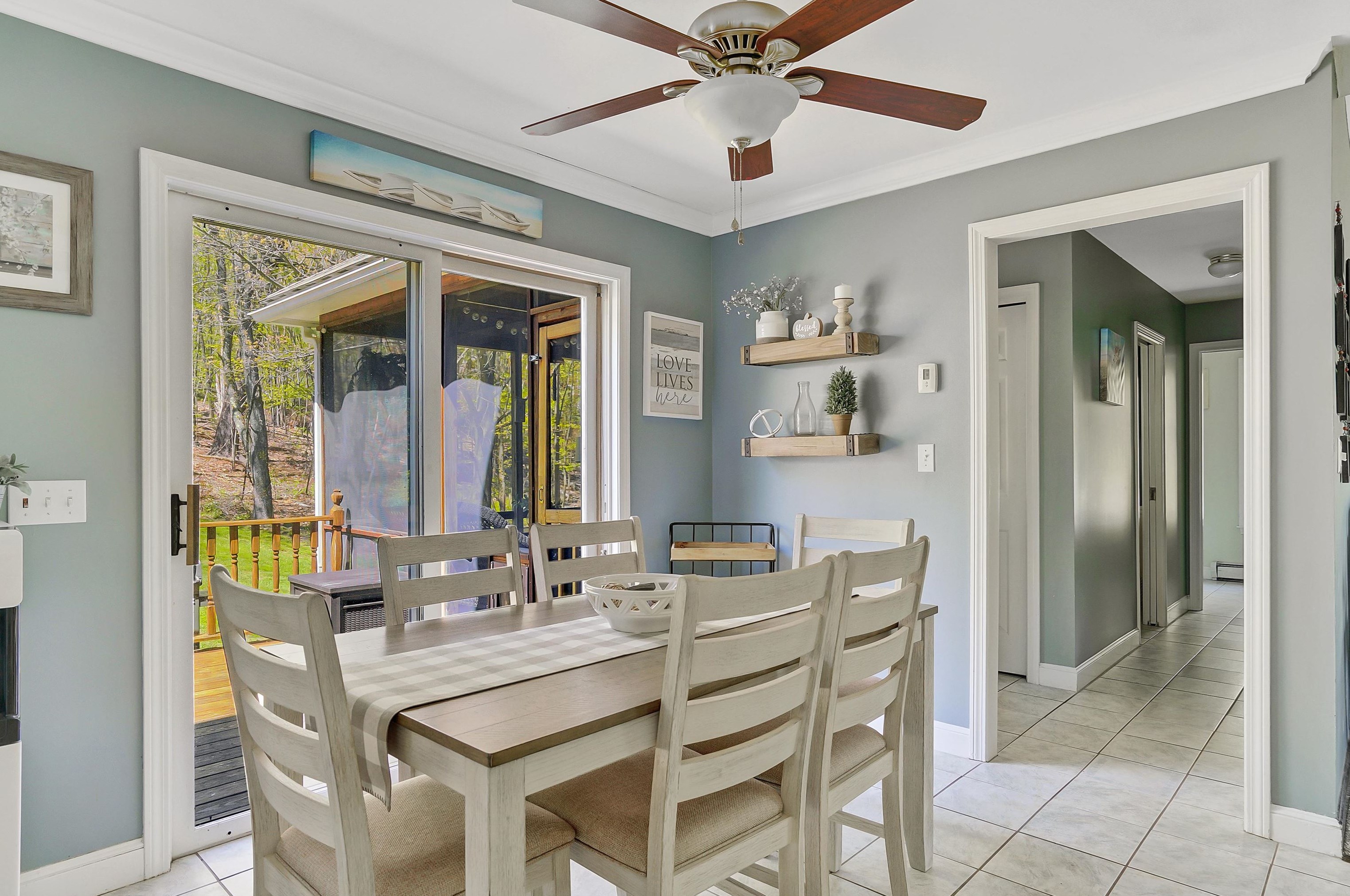
15 Cortland Dr, Manchester, NH 03110-4225
Single Family Residential
  • 4 beds
  • 2 baths
  • Lot: 1.77 acres
  • Built in 1992
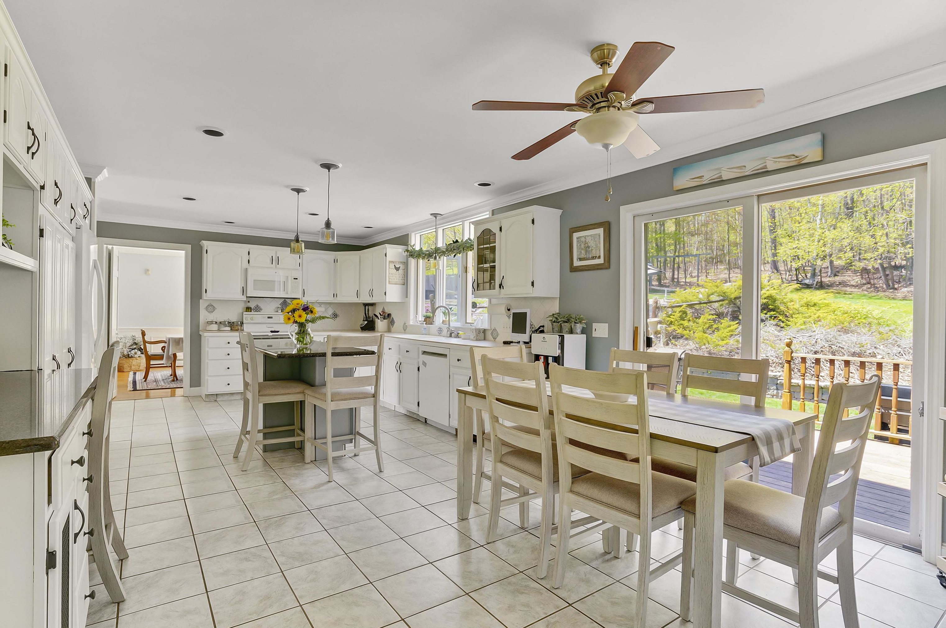
24 Cortland Dr, Manchester, NH 03110-4224
Single Family Residential
  • 4 beds
  • 4 baths
  • Lot: 3.18 acres
  • Built in 1993
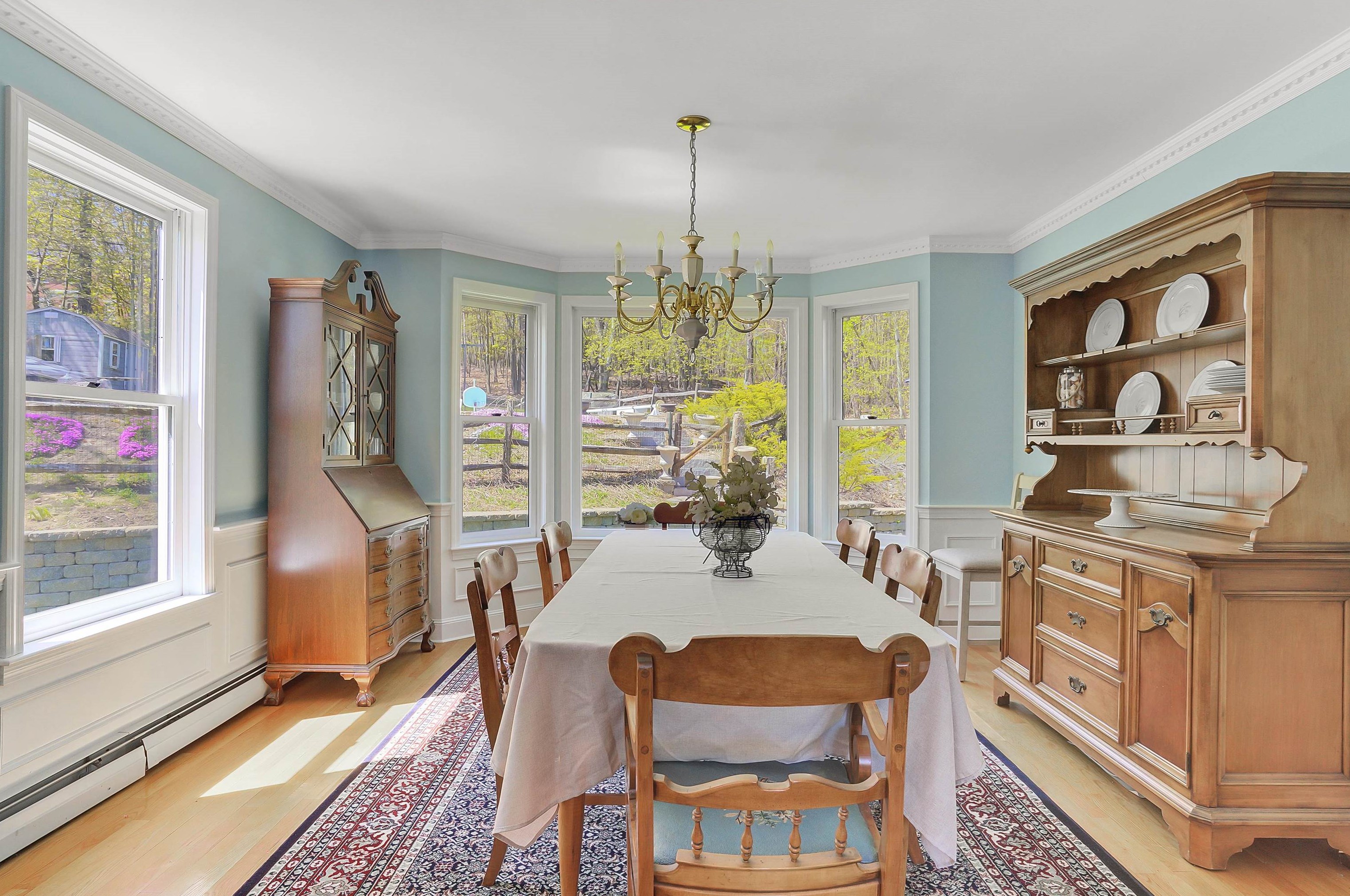
30 Cortland Dr, Manchester, NH 03110-4224
Single Family Residential
  • 3 beds
  • 2 baths
  • Lot: 2.63 acres
  • Built in 1996
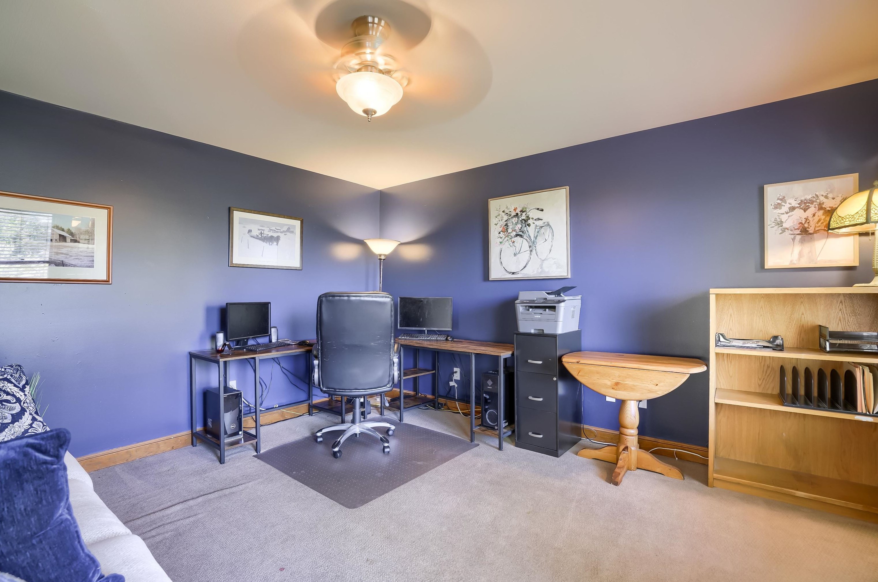
34 Cortland Dr, Manchester, NH 03110-4224
Single Family Residential
  • 4 beds
  • 3 baths
  • Lot: 2.36 acres
  • Built in 1993
42 Cortland Dr, Manchester, NH 03110-4224
Single Family Residential
  • 4 beds
  • 2 baths
  • Lot: 2.66 acres
  • Built in 1992
52 Cortland Dr, Manchester, NH 03110-4224
Single Family Residential
  • 4 beds
  • 2 baths
  • Lot: 3.15 acres
  • Built in 1994
61 Cortland Dr, Manchester, NH 03110-4226
Single Family Residential
  • 4 beds
  • 4 baths
  • Lot: 1.76 acres
  • Built in 2002
 

FAQ about the house at 19 Cortland Dr, Manchester, NH

Advertisement

NOTICE: You may not use Homemetry or the information it provides to make decisions about employment, credit, housing or any other purpose that would require Fair Credit Reporting Act (FCRA) compliance. Homemetry is not a Consumer Reporting Agency (CRA) as defined by the FCRA and does not provide consumer reports.