


Cost estimate history
| Year | Tax | Assessment | Market |
|---|---|---|---|
| 2014 | $1,978 | N/A | N/A |
| 2013 | N/A | $69,300 | $138,600 |
Advertisement
Continue Reading Below
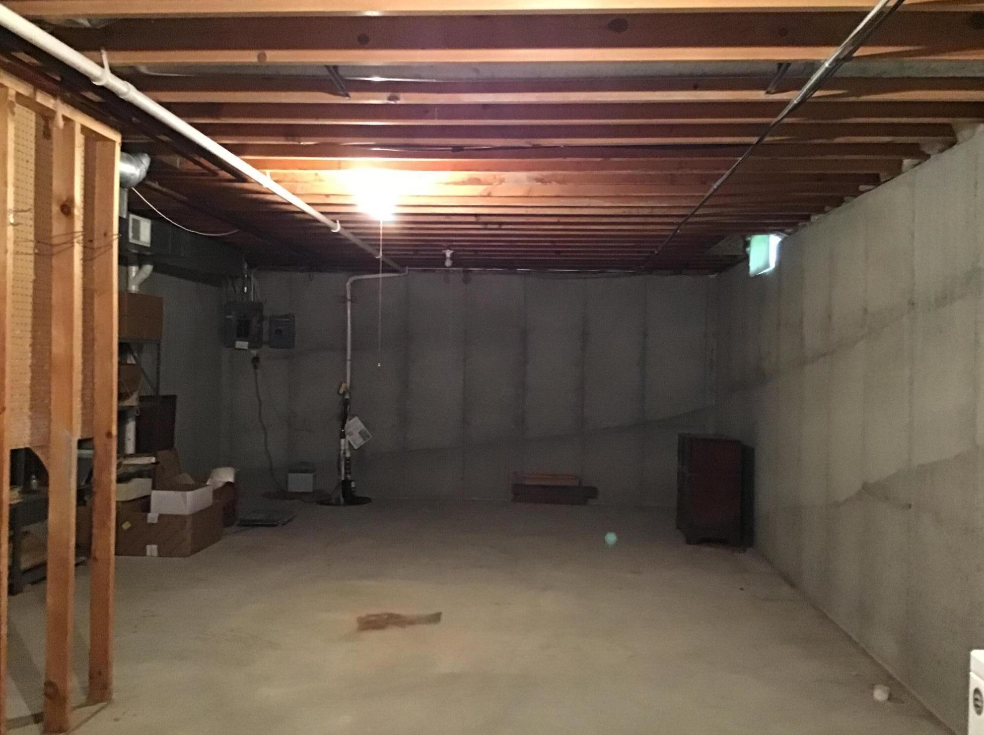
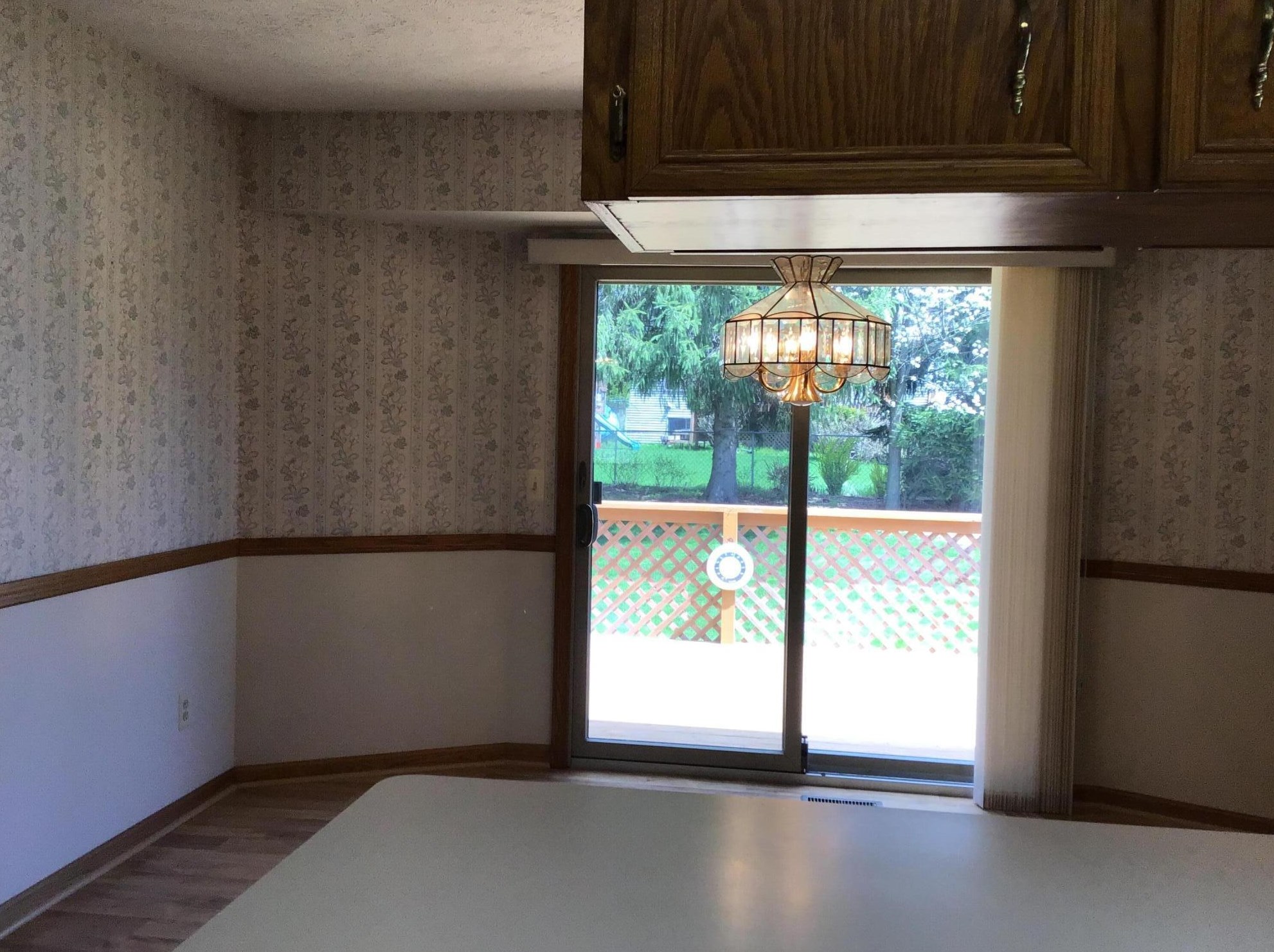
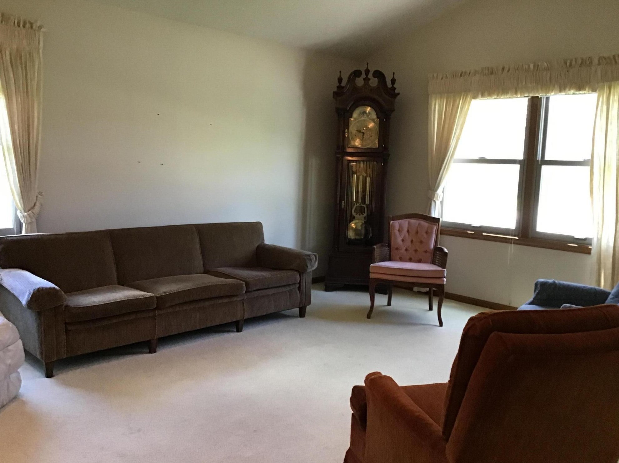
Market Activities
Pheasant Ave Fire Incident History
To date, we have no information about fire incidents in 2025
26 Nov 2003
Brush, or brush and grass mixture fire
Property Use —
Vacant lot
Area of Origin —
Outside area, other
First Ignition —
Light vegetation - not crop, including grass
Heat Source —
Match
Pheasant Incidents registered in FEMA
(Federal Emergency Management Agency)
To date, we have no information about incidents registered in FEMA in 2025
18 Oct 2000
Carbon monoxide detector activation, no CO
Property Use —
1 or 2 family dwelling
Properties Nearby
| Street Address |
|---|
1964 Pheasant Ave, Grand Rapids, MI 49534-2326 Single Family Residential |
2010 Pheasant Ave, Grand Rapids, MI 49534-2381 Single Family Residential |
2028 Pheasant Ave, Grand Rapids, MI 49534-2381 Single Family Residential
|
2046 Pheasant Ave, Grand Rapids, MI 49534-2381 Single Family Residential
|
2055 Pheasant Ave, Grand Rapids, MI 49534-2382 Single Family Residential
|
2067 Pheasant Ave, Grand Rapids, MI 49534-2382 Single Family Residential
|
2078 Pheasant Ave, Grand Rapids, MI 49534-2381 Single Family Residential |
2079 Pheasant Ave, Grand Rapids, MI 49534-2382 Single Family Residential |
2092 Pheasant Ave, Grand Rapids, MI 49534-2381 Single Family Residential |
2093 Pheasant Ave, Grand Rapids, MI 49534-2382 Single Family Residential
|