


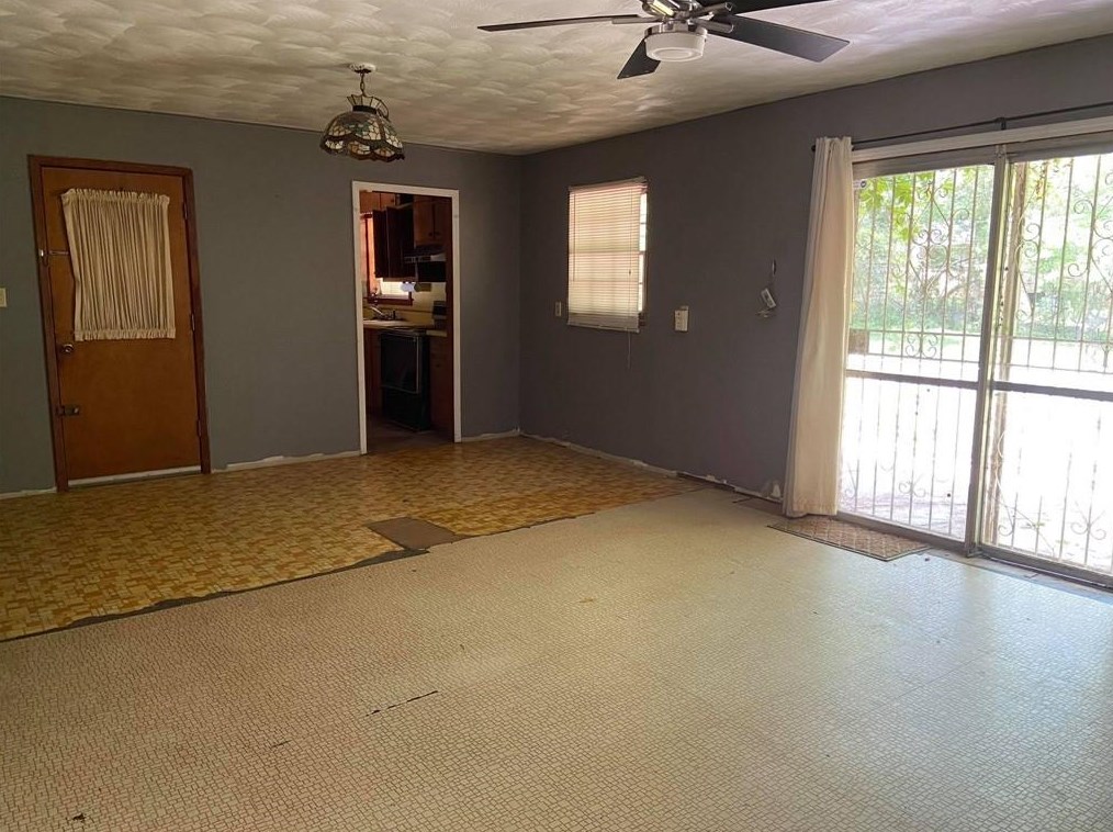


Cost estimate history
| Year | Tax | Assessment | Market |
|---|---|---|---|
| 2014 | $1,135 | N/A | N/A |
| 2013 | N/A | $18,360 | $45,900 |
Advertisement
Continue Reading Below
Market Activities
To date, we have no information about market activities in 2026
Jun 2022
Sold
Jan 2022
Sold
Jun 2021
Sold
May 2021
Sold
Apr 2021
Sold
Tarian Dr Fire Incident History
To date, we have no information about fire incidents in 2026
22 Oct 2019
Fires in structures other than in a building
Property Use —
1 or 2 family dwelling
Area of Origin —
Closet
First Ignition —
Household utensils
Heat Source —
Arcing
02 Apr 2011
Building fires
Property Use —
1 or 2 family dwelling
Area of Origin —
Substructure area or space, crawl space
Tarian Dr Incidents registered in FEMA
(Federal Emergency Management Agency)
To date, we have no information about incidents registered in FEMA in 2026
05 Nov 2009
Gas leak (natural gas or LPG)
Property Use —
1 or 2 family dwelling
22 Jan 2005
Hazardous condition, other
Property Use —
1 or 2 family dwelling
27 Nov 2003
Unintentional transmission of alarm, other
Property Use —
1 or 2 family dwelling
13 Aug 2003
EMS call, excluding vehicle accident with injury
Property Use —
1 or 2 family dwelling
Tarian Dr Crime Incidents History
To date, we have no information about crime incidents in 2026
01 Jan 2000
Drugs
2200 Block Tarian Dr, Decatur GA
Case Number —
2015-00008043
Description —
Properties Nearby
| Street Address |
|---|