


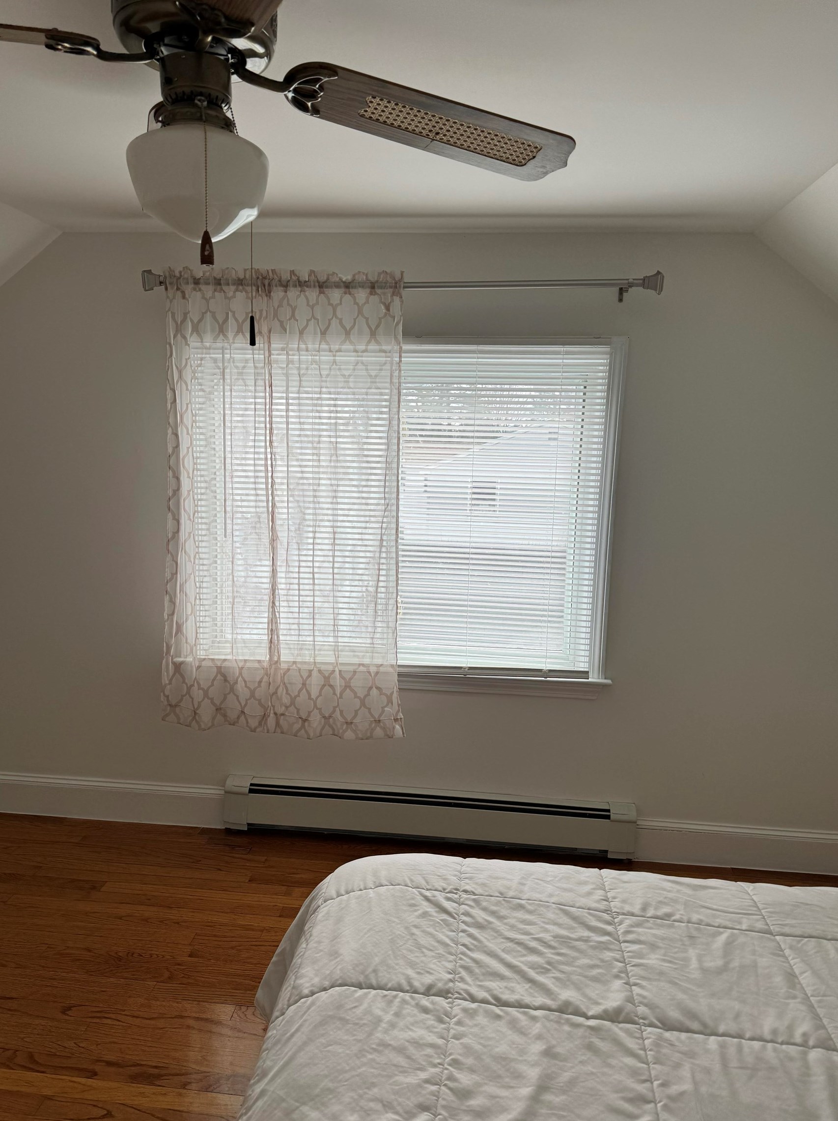


Purchase History
| Date | Event | Price | Source | Agents |
|---|---|---|---|---|
| 05/14/2002 | Sold | $175,000 | Public records |
Cost estimate history
| Year | Tax | Assessment | Market |
|---|---|---|---|
| 2013 | $4,416 | $194,800 | N/A |
Advertisement
Continue Reading Below
Market Activities
To date, we have no information about market activities in 2025
May 2024
Sold
Apr 2024
Listed for sale
Mar 2021
Sold
Dunbarton Rd Fire Incident History
To date, we have no information about fire incidents in 2025
11 Apr 2019
Building fires
Property Use —
1 or 2 family dwelling
Area of Origin —
Bedroom - < 5 persons; included are jail or prison
First Ignition —
Bedding; blanket, sheet, comforter
Heat Source —
Candle
30 Jan 2016
Cooking fire, confined to container
Property Use —
Multifamily dwellings
Area of Origin —
Cooking area, kitchen
First Ignition —
Cooking materials, including edible materials
Heat Source —
Heat from powered equipment, other
25 Apr 2014
Brush, or brush and grass mixture fire
Property Use —
Construction site
Area of Origin —
Wildland, woods
First Ignition —
Light vegetation - not crop, including grass
16 Apr 2011
Brush, or brush and grass mixture fire
Property Use —
Open land or field
Area of Origin —
Open area - outside; included are farmland, field
First Ignition —
Light vegetation - not crop, including grass
Dunbarton Rd Incidents registered in FEMA
(Federal Emergency Management Agency)
To date, we have no information about incidents registered in FEMA in 2025
31 Oct 2015
Unauthorized burning
Property Use —
1 or 2 family dwelling
04 Jul 2015
Authorized controlled burning
Property Use —
1 or 2 family dwelling
29 Aug 2012
Unauthorized burning
Property Use —
Graded and cared-for plots of land
05 Jul 2012
Power line down
Property Use —
Residential street, road or residential driveway
Properties Nearby
| Street Address |
|---|
1 Dunbarton Rd, Manchester, NH 03102-2502 Lot/Land
|
41 Dunbarton Rd, Manchester, NH 03102-2502 Multi-Family Home
|