33 South St, Chesterfield MA  01012-9709 exterior 33 South St, Chesterfield MA  01012-9709 exterior 33 South St, Chesterfield MA  01012-9709 exterior

33 South St Chesterfield, MA 01012 / 9709

Residence for Single Family

(UPDATED: 05/02/2024)
  • 2 Beds
  • 1 Baths
  • 965 square feet
For Sale
$109,900
Property Report

Information about property on 33 South St, Chesterfield MA, 01012-9709. Find out owner contacts, building history, price, neighborhood at Homemetry Address Directory.

Property Details

A single-family property at 33 South St, Chesterfield, MA.

Facts

  • Built in 1930
  • Lot size 2 acres
  • Floor size 965 sqft
  • Rooms 5
  • Stories 2
  • Last remodel year 1951
  • Exterior Home Features
  • Exterior material Wood
  • Roof type Asphalt
Advertisement
Continue Reading Below

Misc

  • Units 1

Listing info

  • Last sold Apr 2006 for $65,000

Householders and Tenants for 33 South St, Chesterfield MA

Advertisement
Continue Reading Below

Where is 33 South St, Chesterfield MA located on map?

Market Activities

To date, we have no information about market activities in 2026
May 2024 Listed for sale
33 South St
Price history :
  • Single Family
  • 965 sqft
  • 2 beds
  • 1 bath
Jun 2022 Sold
33 South St
Price history :
  • Single Family
  • 965 sqft
  • 2 beds
  • 1 bath

View more

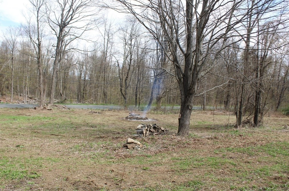
South St Fire Incident History

To date, we have no information about fire incidents in 2026
14 Apr 2014 Brush, or brush and grass mixture fire
Property Use —
Open land or field
Area of Origin —
Wildland, woods
First Ignition —
Light vegetation - not crop, including grass
Heat Source —
Match
17 Apr 2009 Grass fire
Property Use —
1 or 2 family dwelling
Area of Origin —
Wildland, woods
First Ignition —
Light vegetation - not crop, including grass
Heat Source —
Hot ember or ash
16 Apr 2006 Grass fire
Property Use —
1 or 2 family dwelling
Area of Origin —
Open area - outside; included are farmland, field
First Ignition —
Light vegetation - not crop, including grass
Heat Source —
Match
20 Apr 2003 Brush, or brush and grass mixture fire
Property Use —
1 or 2 family dwelling
Area of Origin —
Open area - outside; included are farmland, field
First Ignition —
Light vegetation - not crop, including grass
Heat Source —
Match

View more

St Incidents registered in FEMA
(Federal Emergency Management Agency)

To date, we have no information about incidents registered in FEMA in 2026
02 Feb 2013 Chimney or flue fire, confined to chimney or flue
Property Use —
1 or 2 family dwelling
01 Feb 2013 Chimney or flue fire, confined to chimney or flue
Property Use —
1 or 2 family dwelling
10 Jan 2013 Power line down
Property Use —
Residential street, road or residential driveway
24 Jul 2012 Power line down
Property Use —
Residential street, road or residential driveway

View more

Properties Nearby

Street Address
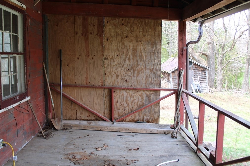
26 St, Chesterfield, MA 01012-9709
Single Family
  • 3 beds
  • 3.5 baths
  • 2,153 sqft
  • Built in 1912
48 St, Chesterfield, MA 01012-9709
Single Family
  • 3 beds
  • 2.5 baths
  • 2,480 sqft
  • Built in 1995
49 St, Chesterfield, MA 01012-9709
Single Family
  • 3 beds
  • 1 bath
  • 1,616 sqft
  • Built in 1968
53 St, Chesterfield, MA 01012-9709
Single Family
  • 4 beds
  • 1.5 baths
  • 2,137 sqft
  • Built in 1890
54 St, Chesterfield, MA 01012-9709
Single Family
  • 3 beds
  • 2 baths
  • 1,473 sqft
  • Built in 1992
57 St, Chesterfield, MA 01012-9709
Single Family
  • 3 beds
  • 1.5 baths
  • 1,964 sqft
  • Built in 1850
 

FAQ about the house at 33 St, Chesterfield, MA

Advertisement

NOTICE: You may not use Homemetry or the information it provides to make decisions about employment, credit, housing or any other purpose that would require Fair Credit Reporting Act (FCRA) compliance. Homemetry is not a Consumer Reporting Agency (CRA) as defined by the FCRA and does not provide consumer reports.