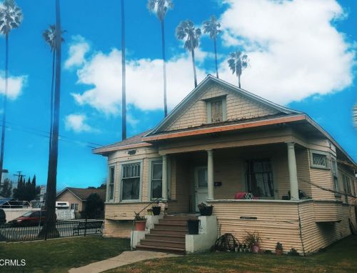
Cost estimate history
| Year | Tax | Assessment | Market |
|---|---|---|---|
| 2014 | $2,705 | $217,393 | N/A |
Advertisement
Continue Reading Below
Market Activities
1st St Fire Incident History
To date, we have no information about fire incidents in 2026
07 Feb 2018
Fire, other
Property Use —
Residential street, road or residential driveway
Area of Origin —
Courtyard, patio, porch, terrace
First Ignition —
Flammable liquid/gas - in/from final container
Heat Source —
Flying brand, ember, spark
27 Apr 2017
Trash or rubbish fire, contained
Property Use —
Outside or special property, other
Area of Origin —
Storage area, other
First Ignition —
Multiple items first ignited
22 Dec 2014
Building fires
Property Use —
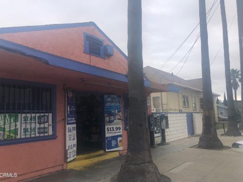
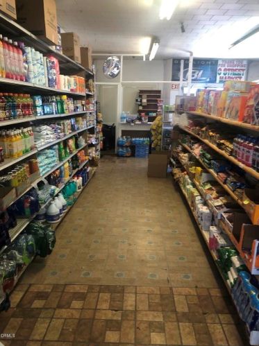
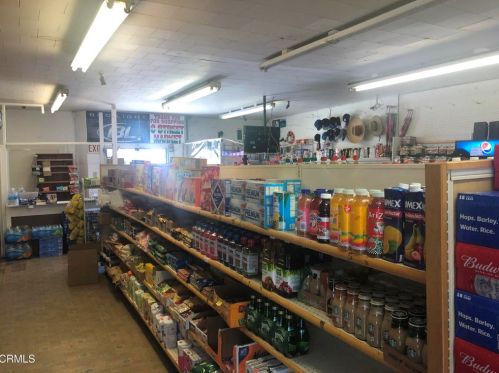
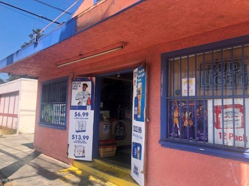
Food and beverage sales, grocery store
Area of Origin —
Roof surface: exterior
First Ignition —
Flammable liquid/gas - uncontained
Heat Source —
Spark, ember or flame from operating equipment
05 Jun 2014
Building fires
Property Use —
Residential, other
1 St Incidents registered in FEMA
(Federal Emergency Management Agency)
To date, we have no information about incidents registered in FEMA in 2026
24 Oct 2015
Dumpster or other outside trash receptacle fire
Property Use —
Convenience store
16 Sep 2014
Unauthorized burning
Property Use —
1 or 2 family dwelling
12 Dec 2013
Unauthorized burning
Property Use —
Multifamily dwellings
Properties Nearby
| Street Address |
|---|
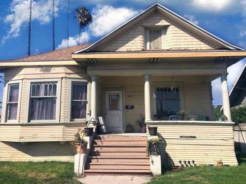
235 1 St, Oxnard, CA 93030-5666 Multi-Family Home
|
245 1 St, Oxnard, CA 93030-5354 Multi-Family Home
|
311 1 St, Oxnard, CA 93030-5619 Multi-Family Home
|
321 1 St, Oxnard, CA 93030-5659 Multi-Family Home
|
401 1 St, Oxnard, CA 93030-5601 Single Family Residential
|
402 1 St, Oxnard, CA 93030-5602 Single Family Residential
|
411 1 St, Oxnard, CA 93030-5601 Single Family Residential
|
421 1 St, Oxnard, CA 93030-5628 Multi-Family Home
|
435 1 St, Oxnard, CA 93030-5601 Single Family Residential
|