


Advertisement
Continue Reading Below
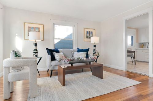
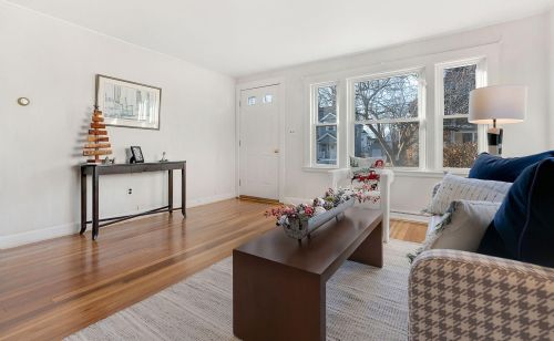
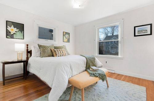
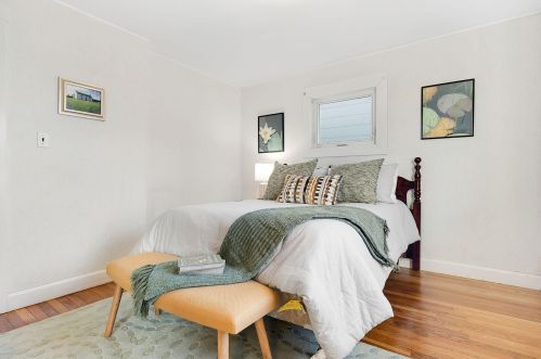
Market Activities
Massachusetts Ave Fire Incident History
To date, we have no information about fire incidents in 2025
11 Nov 2018
Brush, or brush and grass mixture fire
Property Use —
Graded and cared-for plots of land
Area of Origin —
Open area - outside; included are farmland, field
First Ignition —
Heavy vegetation - not crop, including trees
20 Dec 2015
Outside rubbish, trash or waste fire
Property Use —
1 or 2 family dwelling
Area of Origin —
Outside area, other
31 Dec 2014
Outside rubbish, trash or waste fire
Property Use —
Graded and cared-for plots of land
Area of Origin —
Courtyard, patio, porch, terrace
First Ignition —
Magazine, newspaper, writing paper
01 Feb 2012
Outside equipment fire
Property Use —
1 or 2 family dwelling
Area of Origin —
Open area - outside; included are farmland, field
First Ignition —
Item First Ignited, Other
Heat Source —
Spark, ember or flame from operating equipment
Massachusetts Ave Incidents registered in FEMA
(Federal Emergency Management Agency)
To date, we have no information about incidents registered in FEMA in 2025
26 Nov 2014
Power line down
Property Use —
Residential street, road or residential driveway
07 Aug 2011
Power line down
Property Use —
Residential street, road or residential driveway
18 Jan 2011
Carbon monoxide incident
Property Use —
Multifamily dwellings
25 Feb 2010
Power line down
Property Use —
Residential street, road or residential driveway
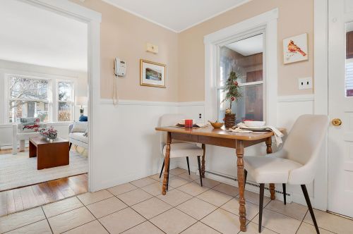
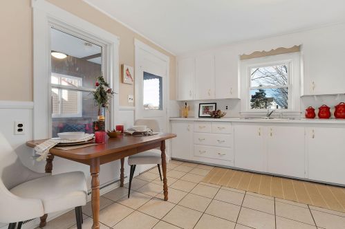
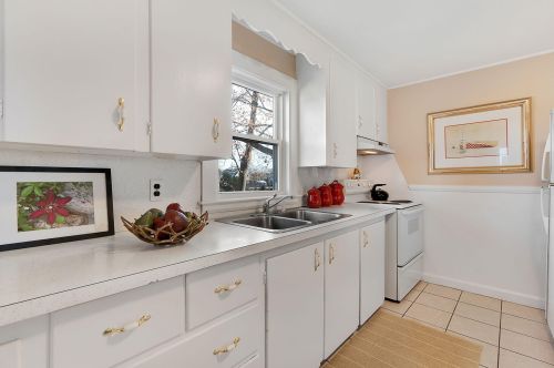
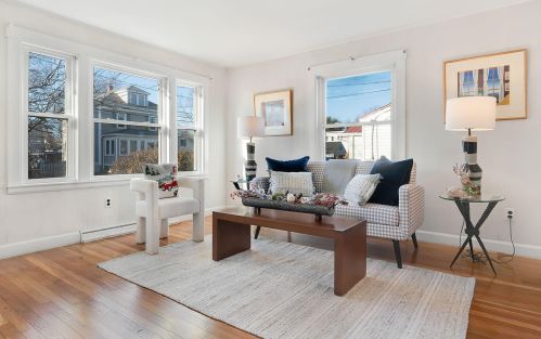
Properties Nearby
| Street Address |
|---|
11 Massachusetts Ave, Portland, ME 04106-6021 Multi-Family Home
|
16 Massachusetts Ave, Portland, ME 04102-2514 Single-Family Home
|
20 Massachusetts Ave, Portland, ME 04102-2514 Single-Family Home
|
21 Massachusetts Ave, Portland, ME 04106-6021
|
41 Massachusetts Ave, Portland, ME 04106-6021 Single-Family Home
|
60 Massachusetts Ave, Portland, ME 04102-2555 High Rise
|
76 Massachusetts Ave, Portland, ME 04102-2514
|
81 Massachusetts Ave, Portland, ME 04106-5922 Single-Family Home
|