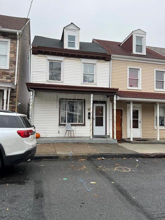


Purchase History
| Date | Event | Price | Source | Agents |
|---|---|---|---|---|
| 09/30/2008 | Sold | $42,500 | Public records | |
| 07/30/2008 | Sold | $1,120 | Public records |
Cost estimate history
| Year | Tax | Assessment | Market |
|---|---|---|---|
| 2014 | N/A | $32,800 | N/A |
Advertisement
Continue Reading Below
Market Activities
To date, we have no information about market activities in 2026
May 2023
Sold
Mar 2023
Sold
Jan 2023
Sold
Dec 2022
Sold
Aug 2016
Recent Rent
41 12th St
Price history :
- 1475 sqft
- 3 beds
- 1.5 baths
updated and move in ready 3 bedrooms, with full bath upstairs and a powder room on the ground...
41 12th St Fire Incident History
To date, we have no information about fire incidents in 2026
27 Apr 2006
Building fires
Property Use —
1 or 2 family dwelling
Area of Origin —
Wall surface: exterior
First Ignition —
Exterior wall covering or finish
Heat Source —
Cigarette
12 St Fire Incident History
To date, we have no information about fire incidents in 2026
10 Sep 2017
Dumpster or other outside trash receptacle fire
Property Use —
Vehicle parking area
Area of Origin —
Highway, parking lot, street: on or near
First Ignition —
Rubbish, trash, or waste
07 Aug 2017
Passenger vehicle fire
Property Use —
Residential street, road or residential driveway
Area of Origin —
Engine area, running gear, wheel area
02 Jul 2017
Building fires
Property Use —
Multifamily dwellings
Area of Origin —
Laundry area, wash house (laundry)
05 May 2012
Building fires
Property Use —
Multifamily dwellings
Area of Origin —
Cooking area, kitchen
First Ignition —
Cooking materials, including edible materials
Heat Source —
Radiated, conducted heat from operating equipment
12th St Incidents registered in FEMA
(Federal Emergency Management Agency)
To date, we have no information about incidents registered in FEMA in 2026
28 Dec 2014
Biological hazard, confirmed or suspected
Property Use —
Graded and cared-for plots of land
09 Apr 2013
Power line down
Property Use —
Residential street, road or residential driveway
07 Feb 2013
Power line down
Property Use —
Multifamily dwellings
02 Feb 2013
Oil or other combustible liquid spill
Property Use —
Vehicle parking area
Properties Nearby
| Street Address |
|---|
36 12 St, Easton, PA 18042-4162 Multi-Family Home
|
37 12 St, Easton, PA 18042-4161 Single Family Residential
|
38 12 St, Easton, PA 18042-4162 Multi-Family Home
|
39 12 St, Easton, PA 18042-4161 Single Family Residential
|
40 12 St, Easton, PA 18042-4162 Single Family Residential
|
42 12 St, Easton, PA 18042-4162 Single Family Residential
|