Cost estimate history
| Year | Tax | Assessment | Market |
|---|---|---|---|
| 2014 | N/A | $25,600 | N/A |
| 2011 | $3,214 | N/A | N/A |
Advertisement
Continue Reading Below
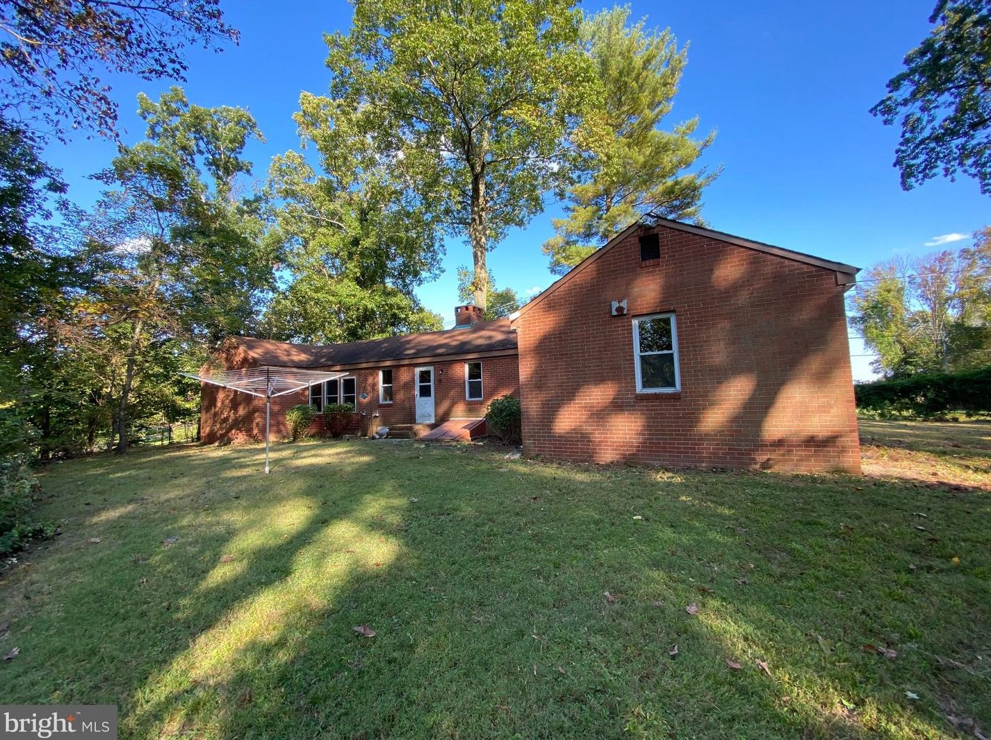
Market Activities
To date, we have no information about market activities in 2025
May 2024
Listed for sale
Mar 2024
Sold
Dec 2023
Listed for sale
Mar 2021
Sold
Linton Hill Rd Fire Incident History
To date, we have no information about fire incidents in 2025
14 Feb 2008
Building fires
Property Use —
Multifamily dwellings
Area of Origin —
Attic: vacant, crawl space above top story, cupola
First Ignition —
Structural member or framing
483 Linton Hl Rd incidents registered in FEMA
(Federal Emergency Management Agency)
To date, we have no information about incidents registered in FEMA in 2025
09 Aug 2012
Power line down
Property Use —
Street, other
Linton Hl Rd Incidents registered in FEMA
(Federal Emergency Management Agency)
To date, we have no information about incidents registered in FEMA in 2025
04 Sep 2012
Gas leak (natural gas or LPG)
09 Aug 2012
Arcing, shorted electrical equipment
Property Use —
1 or 2 family dwelling
09 Aug 2012
Power line down
Property Use —
Street, other
23 Sep 2010
Cooking fire, confined to container
Property Use —
1 or 2 family dwelling
Properties Nearby
| Street Address |
|---|
441 Linton Hl Rd, Upper Makefield, PA 18940-1628 Single Family
|
490 Linton Hl Rd, Upper Makefield, PA 18940-1640 Single Family Residential
|
522 Linton Hl Rd, Upper Makefield, PA 18940-1204 Single Family
|
588 Linton Hl Rd, Upper Makefield, PA 18940-1204 Single Family
|
655 Linton Hl Rd, Upper Makefield, PA 18940-1205 Single Family
|