

Advertisement
Continue Reading Below
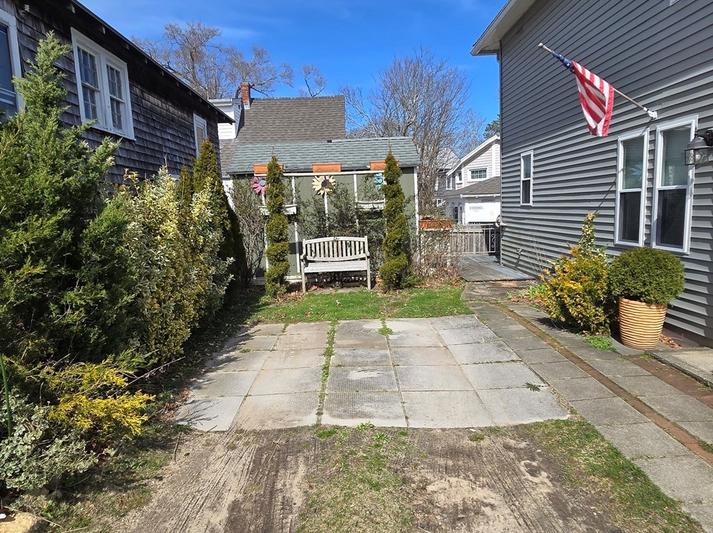
Market Activities
To date, we have no information about market activities in 2026
May 2024
Listed for sale
Apr 2024
Listed for sale
Sep 2016
Sold
12th Ave Fire Incident History
To date, we have no information about fire incidents in 2026
02 Sep 2007
Passenger vehicle fire
Property Use —
Vehicle parking area
Area of Origin —
Operator/passenger area of transportation equip.
11 Jun 2007
Building fires
Property Use —
1 or 2 family dwelling
12 Ave Incidents registered in FEMA
(Federal Emergency Management Agency)
To date, we have no information about incidents registered in FEMA in 2026
16 Sep 2012
Unauthorized burning
Property Use —
Graded and cared-for plots of land
16 Sep 2012
Unauthorized burning
Property Use —
1 or 2 family dwelling
06 May 2011
Unauthorized burning
Property Use —
Graded and cared-for plots of land
20 Nov 2010
Building fires
Property Use —
1 or 2 family dwelling
Properties Nearby
| Street Address |
|---|
4 12 Ave, Wareham, MA 02571-1320 Multiple Occupancy
|
39 12 Ave, Wareham, MA 02571-1320 Single Family
|
41 12 Ave, Wareham, MA 02571-1320 Single Family
|
47 12 Ave, Wareham, MA 02571-1320 Single Family
|
48 12 Ave, Wareham, MA 02571-1320 Single Family
|
50 12 Ave, Wareham, MA 02571-1320 Single Family
|
52 12 Ave, Wareham, MA 02571-1320 Single Family
|
54 12 Ave, Wareham, MA 02571-1320 Single Family
|
55 12 Ave, Wareham, MA 02571-1320 Single Family
|


