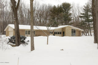
Purchase History
| Date | Event | Price | Source | Agents |
|---|---|---|---|---|
| 01/03/2014 | Sold | $201,500 | Public records |
Cost estimate history
| Year | Tax | Assessment | Market |
|---|---|---|---|
| 2014 | N/A | $85,300 | N/A |
| 2009 | $5,757 | N/A | N/A |
Advertisement
Continue Reading Below
Market Activities
Manorwood Dr Incidents registered in FEMA
(Federal Emergency Management Agency)
To date, we have no information about incidents registered in FEMA in 2025
03 Nov 2015
Authorized controlled burning
Property Use —
Graded and cared-for plots of land
30 Aug 2003
Authorized controlled burning
Property Use —
Open land or field
15 Jun 1999
Carbon monoxide incident
Property Use —
1 or 2 family dwelling
Properties Nearby
| Street Address |
|---|
5812 Manorwood Dr, Kalamazoo, MI 49009-9110 Single Family Residential
|
5841 Manorwood Dr, Kalamazoo, MI 49009-9110 Single Family Residential
|
5858 Manorwood Dr, Kalamazoo, MI 49009-9110 Single Family Residential
|
5865 Manorwood Dr, Kalamazoo, MI 49009-9110 Single Family Residential
|
5880 Manorwood Dr, Kalamazoo, MI 49009-9110 Single Family Residential
|
5902 Manorwood Dr, Kalamazoo, MI 49009-9110 Single Family Residential
|

