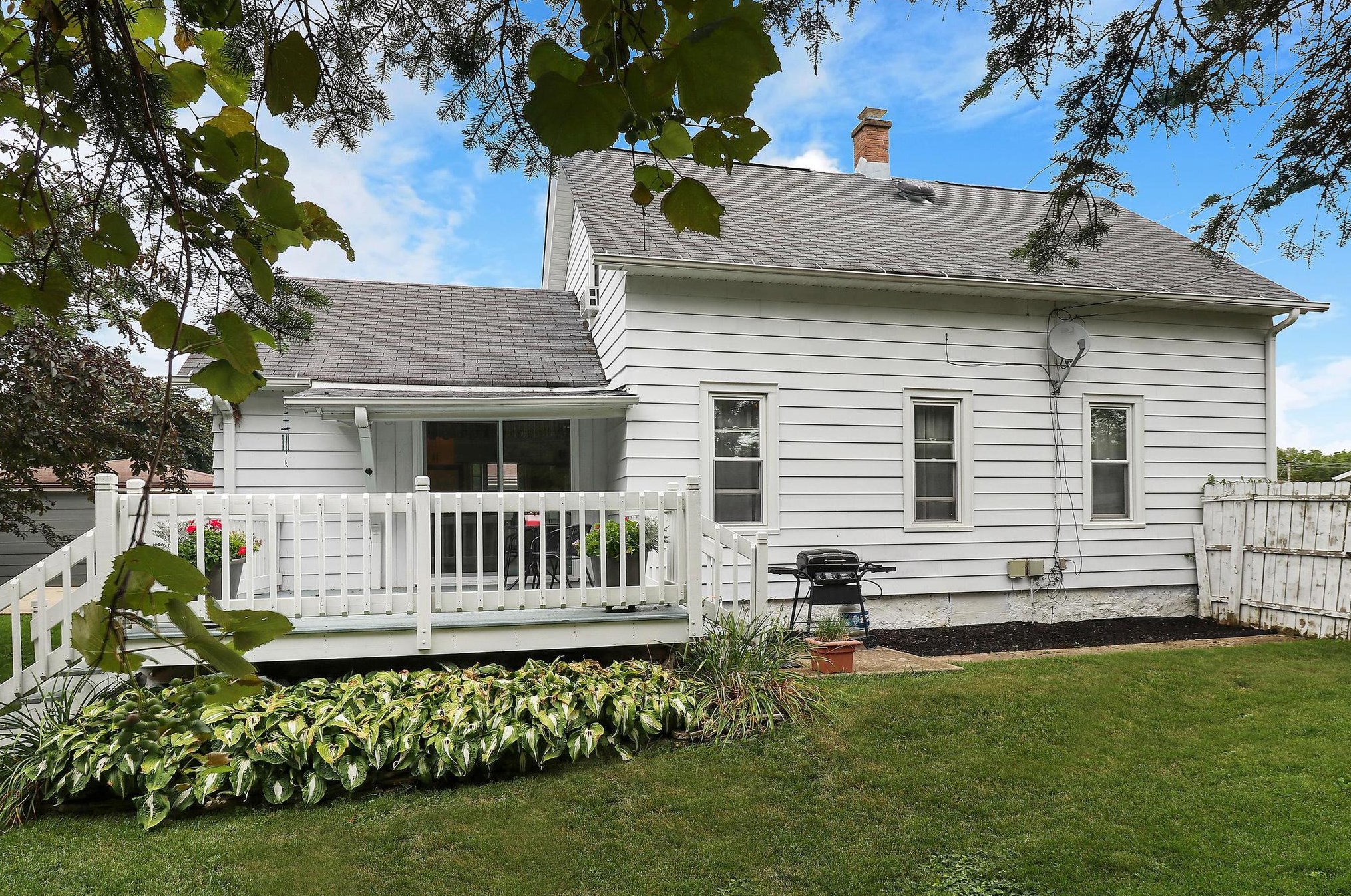
Cost estimate history
| Year | Tax | Assessment | Market |
|---|---|---|---|
| 2013 | $2,101 | $98,600 | $98,630 |
Advertisement
Continue Reading Below
Market Activities
To date, we have no information about market activities in 2026
Jan 2023
Sold
Dec 2022
Sold
Nov 2022
Sold
High St Fire Incident History
To date, we have no information about fire incidents in 2026
18 Mar 2019
Building fires
Property Use —
1 or 2 family dwelling
18 Mar 2019
Building fires
Property Use —
1 or 2 family dwelling
Area of Origin —
Common room, den, family room, living room, lounge
First Ignition —
Cabinetry (including built-in)
29 Jun 2011
Camper or recreational vehicle (RV) fire
Property Use —
1 or 2 family dwelling
Area of Origin —
Wall surface: exterior
First Ignition —
Item First Ignited, Other
Heat Source —
Hot ember or ash
07 Jun 2005
Building fires
Property Use —
1 or 2 family dwelling
Area of Origin —
Laundry area, wash house (laundry)
First Ignition —
Item First Ignited, Other
Heat Source —
Radiated, conducted heat from operating equipment
High St Incidents registered in FEMA
(Federal Emergency Management Agency)
To date, we have no information about incidents registered in FEMA in 2026
20 May 2015
Carbon monoxide incident
Property Use —
1 or 2 family dwelling
02 Nov 2012
Gas leak (natural gas or LPG)
Property Use —
1 or 2 family dwelling
22 Nov 2010
Building or structure weakened or collapsed
08 Sep 2008
Gas leak (natural gas or LPG)
Property Use —
1 or 2 family dwelling
Properties Nearby
| Street Address |
|---|
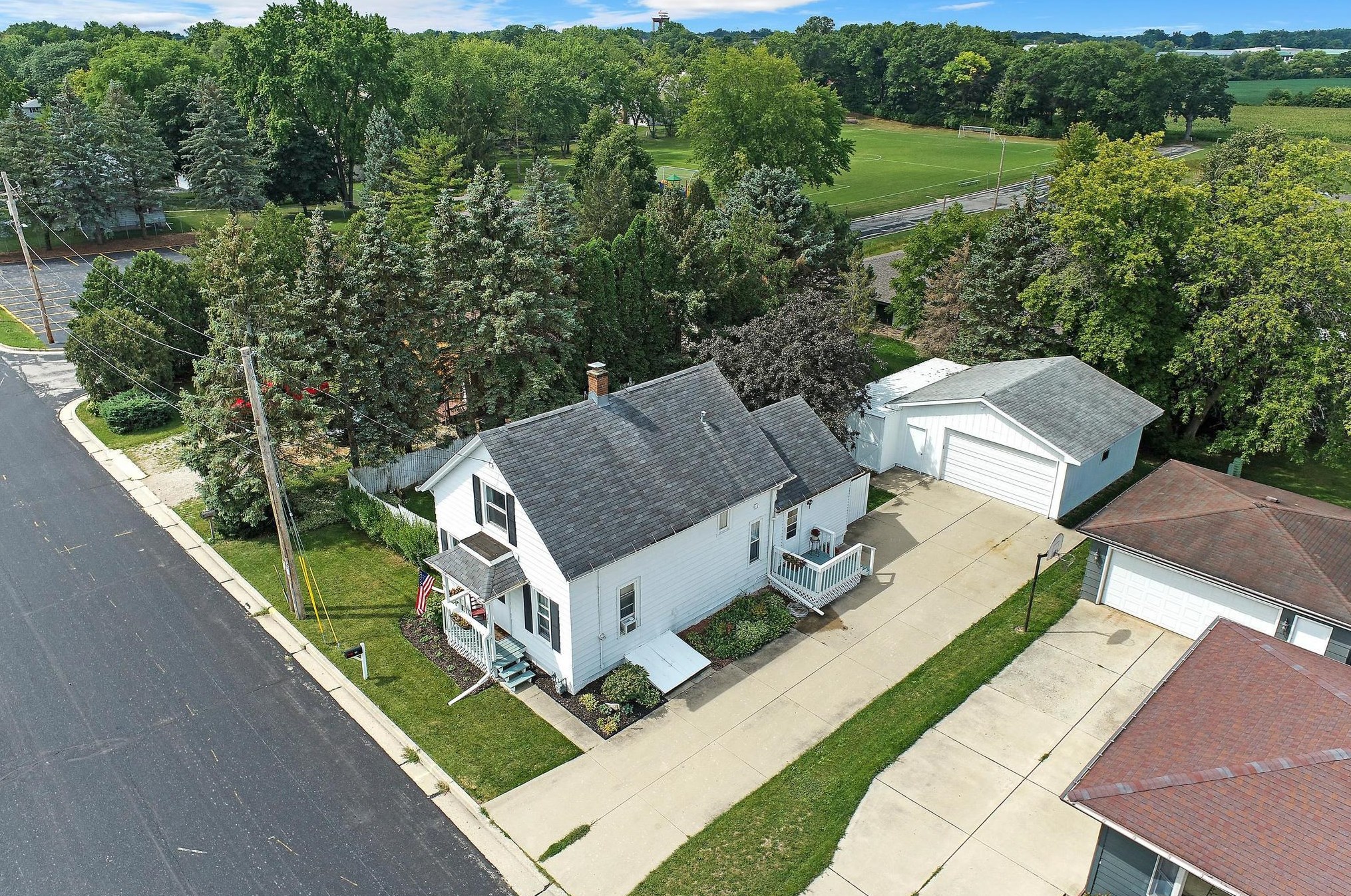
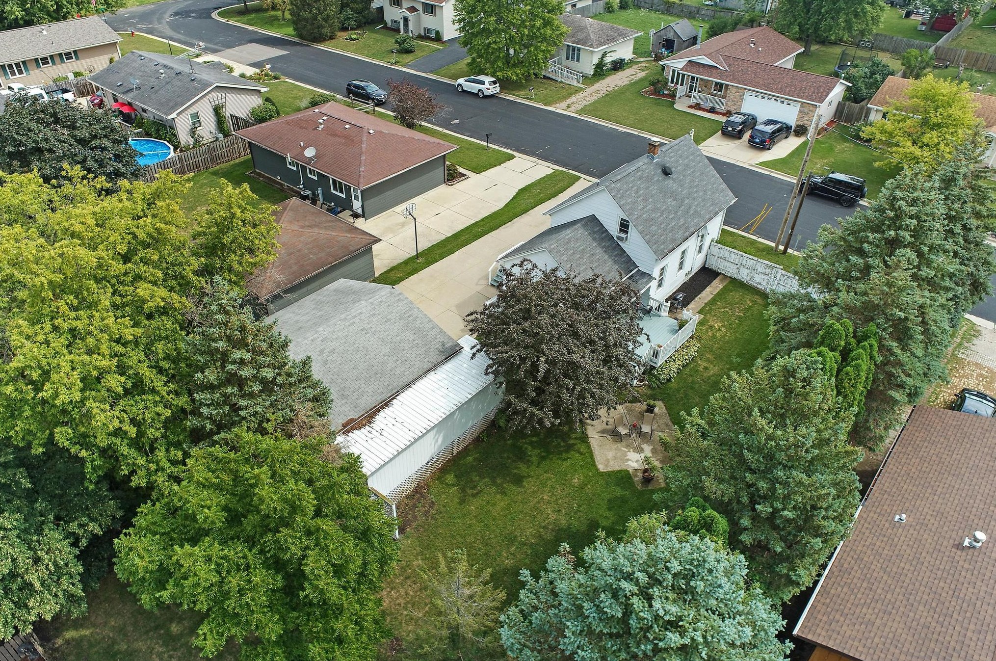
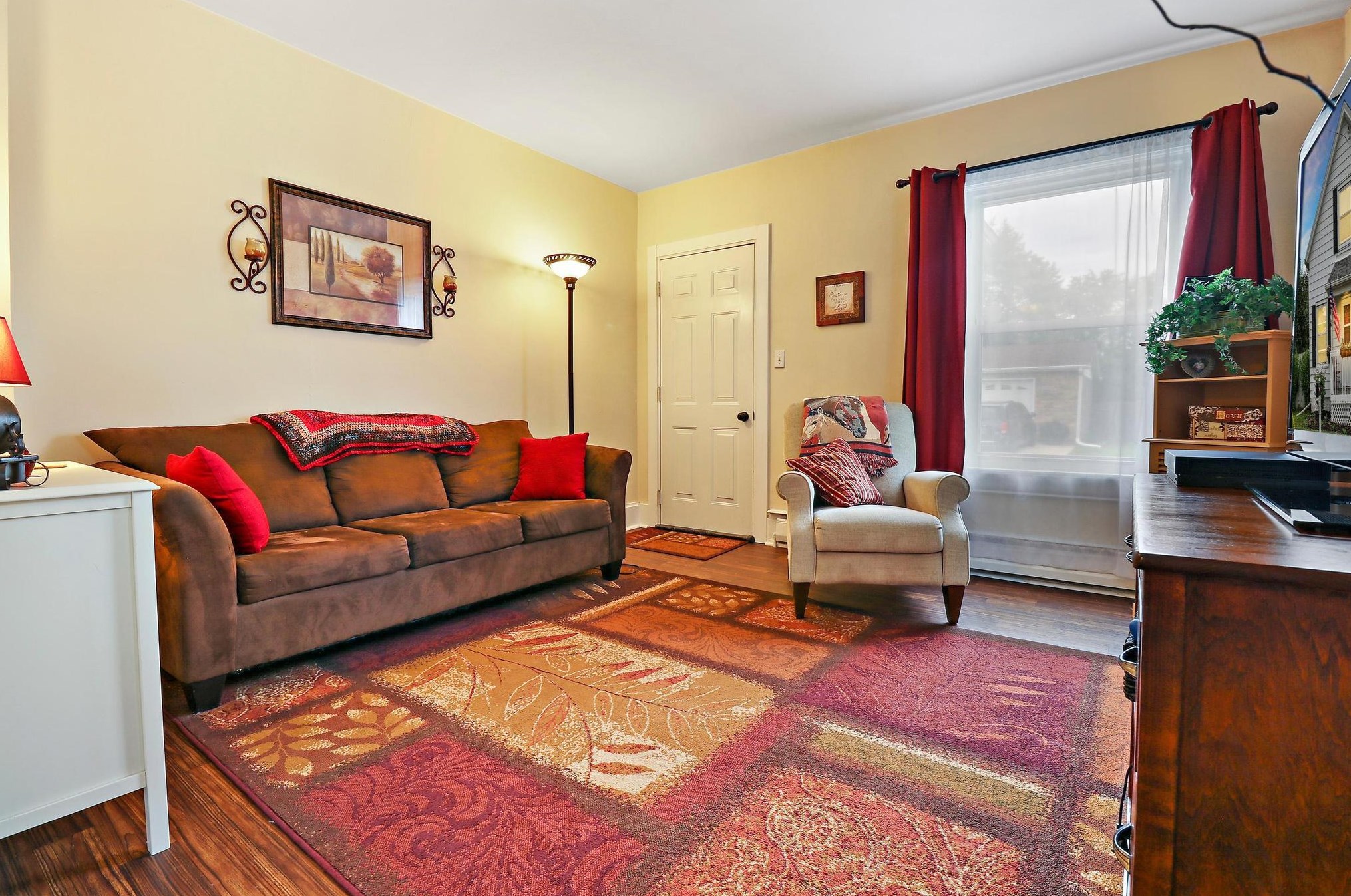
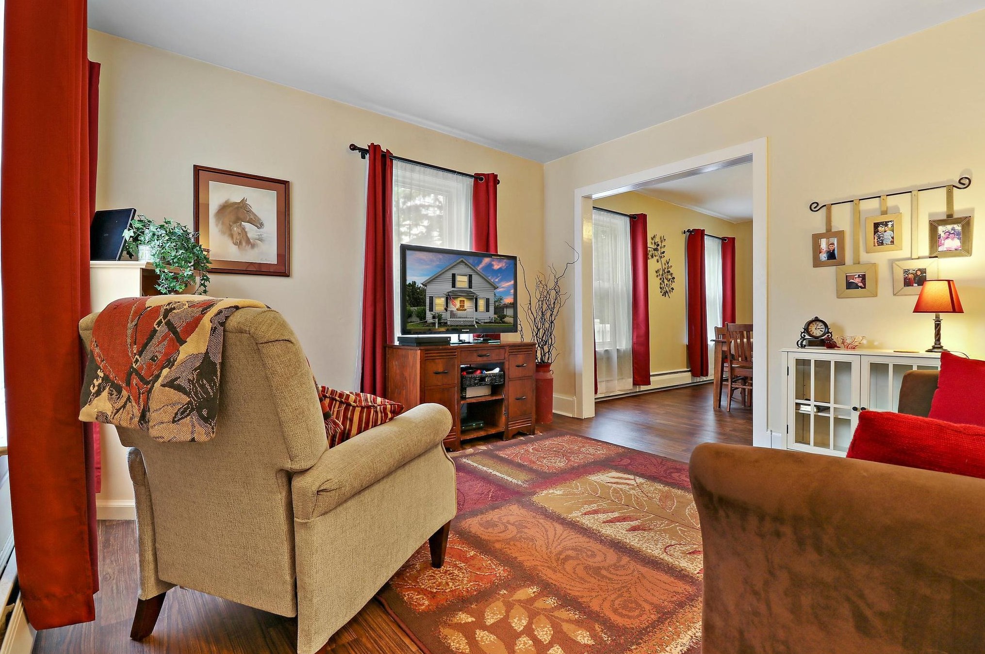
709 High St, Union Grove, WI 53182-1029 Single Family
|
710 High St, Union Grove, WI 53182-1030 Single Family
|
715 High St, Union Grove, WI 53182-1029 Single Family
|
716 High St, Union Grove, WI 53182-1030 Single Family
|
721 High St, Union Grove, WI 53182-1029 Single Family
|
729 High St, Union Grove, WI 53182-1029 Single Family
|
731 High St, Union Grove, WI 53182-1029 Single Family
|
736 High St, Union Grove, WI 53182-1030 Single Family
|
804 High St, Union Grove, WI 53182-1032 Single Family
|
808 High St, Union Grove, WI 53182-1032 Single Family
|