Purchase History
| Date | Event | Price | Source | Agents |
|---|---|---|---|---|
| 10/27/2005 | Sold | $115,000 | Public records | |
| 02/15/1999 | Sold | $39,000 | Public records | |
| 01/08/1998 | Sold | $100 | Public records |
PURCHASE HISTORY 7410 Castanea Dr, Port Richey FL
Cost estimate history
| Year | Tax | Assessment | Market |
|---|---|---|---|
| 2014 | $728 | N/A | N/A |
| 2013 | N/A | $33,086 | N/A |
Advertisement
Continue Reading Below
Market Activities
To date, we have no information about market activities in 2025
Apr 2024
Recent Rent
Mar 2024
Recent Rent
Sep 2016
Recent Rent
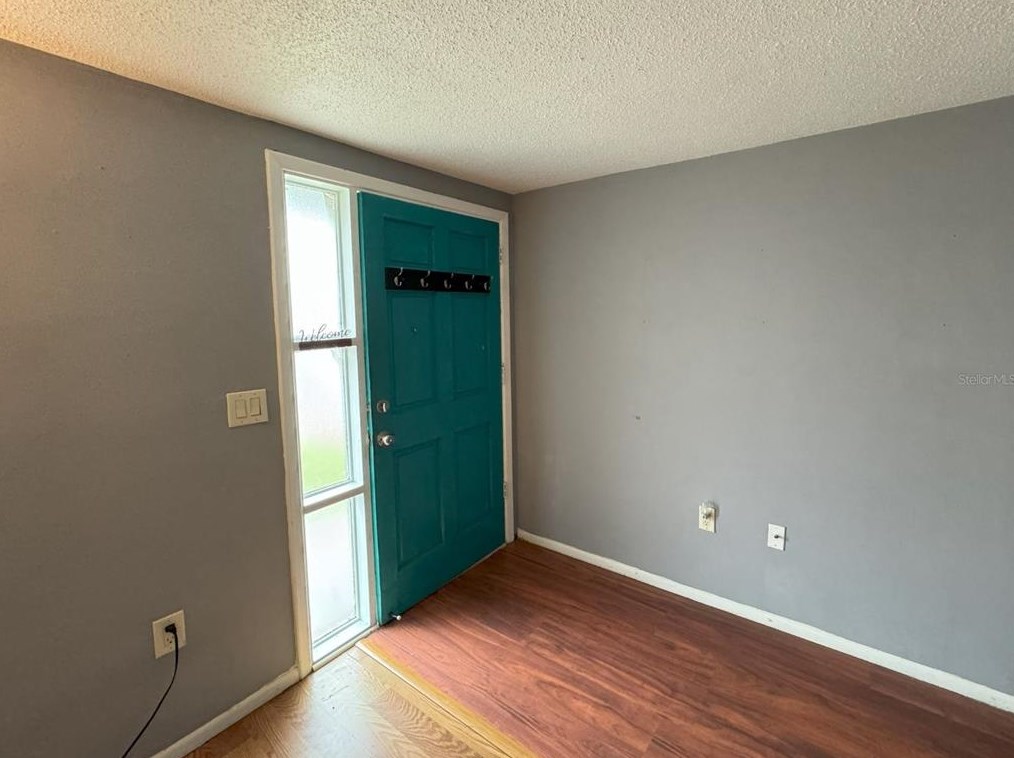
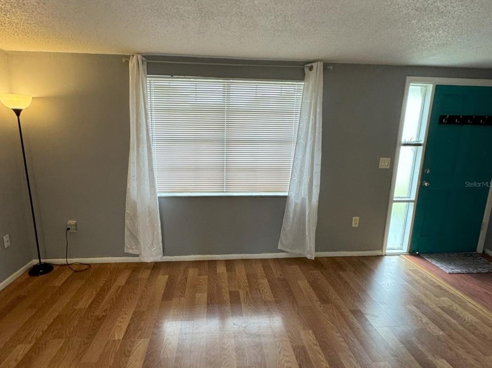
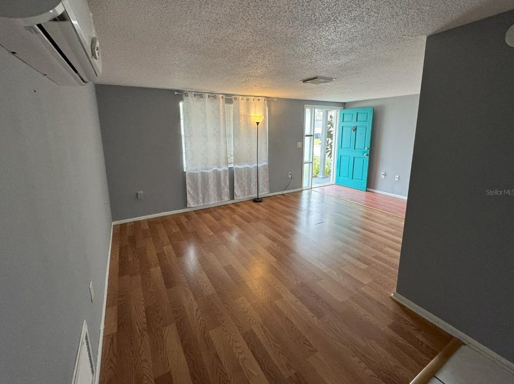
7410 Castanea Dr
Price history :
- 980 sqft
- 2 beds
- 1 bath
This Nicely Updated 2 Bedroom/1 Bathroom home offers the following features: NEW Hot Water Tank,...
Castanea Dr Fire Incident History
To date, we have no information about fire incidents in 2025
03 Sep 2017
Building fires
Property Use —
1 or 2 family dwelling
Area of Origin —
Bedroom - < 5 persons; included are jail or prison
First Ignition —
Bedding; blanket, sheet, comforter
18 May 2014
Natural vegetation fire, other
Property Use —
Vehicle parking area
Area of Origin —
Vehicle storage area; garage, carport
First Ignition —
Organic materials, other
31 May 2013
Grass fire
Property Use —
Graded and cared-for plots of land
Area of Origin —
Highway, parking lot, street: on or near
First Ignition —
Light vegetation - not crop, including grass
23 May 2006
Building fires
Property Use —
1 or 2 family dwelling
Area of Origin —
Bedroom - 5+ persons; including barrack/dormitory
First Ignition —
Soft goods, wearing apparel, other
Heat Source —
Cigarette lighter
Castanea Dr Incidents registered in FEMA
(Federal Emergency Management Agency)
To date, we have no information about incidents registered in FEMA in 2025
26 Apr 2015
Unauthorized burning
Property Use —
Graded and cared-for plots of land
21 Apr 2015
Authorized controlled burning
Property Use —
Graded and cared-for plots of land
06 Apr 2015
Authorized controlled burning
Property Use —
Graded and cared-for plots of land
28 Dec 2012
Unauthorized burning
Property Use —
1 or 2 family dwelling
Properties Nearby
| Street Address |
|---|