


Purchase History
| Date | Event | Price | Source | Agents |
|---|---|---|---|---|
| 05/21/2002 | Sold | $819,000 | Public records | |
| 04/03/2002 | Sold | $819,000 | Agent Submission | Jodi and Joanna |
| 02/09/2001 | Sold | $450,000 | Public records |
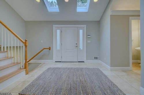
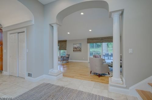
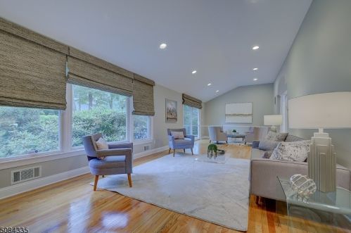
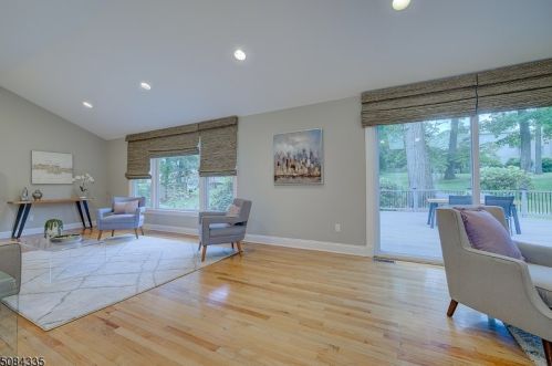
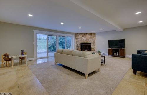
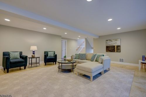
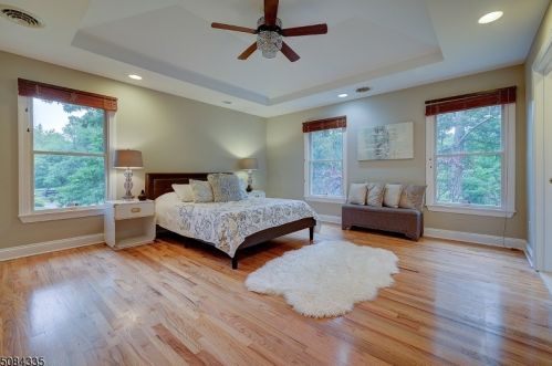
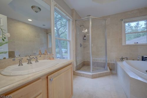
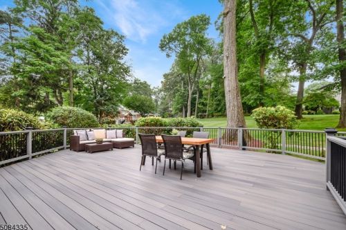
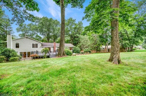
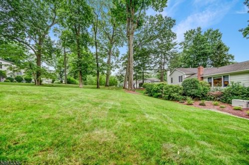
PURCHASE HISTORY 8 Scarsdale Dr, Livingston NJ
Cost estimate history
| Year | Tax | Assessment | Market |
|---|---|---|---|
| 2014 | N/A | $782,700 | N/A |
| 2013 | $17,947 | N/A | N/A |
Advertisement
Continue Reading Below
Market Activities
Scarsdale Dr Fire Incident History
To date, we have no information about fire incidents in 2025
26 Nov 2003
Passenger vehicle fire
Property Use —
Residential street, road or residential driveway
Area of Origin —
Operator/passenger area of transportation equip.
First Ignition —
Upholstered sofa, chair, vehicle seats
Scarsdale Dr Incidents registered in FEMA
(Federal Emergency Management Agency)
To date, we have no information about incidents registered in FEMA in 2025
13 Mar 2015
Carbon monoxide incident
Property Use —
1 or 2 family dwelling
13 Mar 2015
Carbon monoxide incident
Property Use —
1 or 2 family dwelling
21 Feb 2015
Carbon monoxide incident
Property Use —
1 or 2 family dwelling
21 Feb 2015
Carbon monoxide incident
Property Use —
1 or 2 family dwelling
Properties Nearby
| Street Address |
|---|
5 Scarsdale Dr, Livingston, NJ 07039-1410 Single Family Residential
|
6 Scarsdale Dr, Livingston, NJ 07039-1418 Single Family Residential
|
7 Scarsdale Dr, Livingston, NJ 07039-1410 Single Family Residential
|
9 Scarsdale Dr, Livingston, NJ 07039-1410 Single Family Residential
|
16 Scarsdale Dr, Livingston, NJ 07039-1419 Single Family Residential
|
30 Scarsdale Dr, Livingston, NJ 07039-1419 Single Family Residential
|
37 Scarsdale Dr, Livingston, NJ 07039-1338 Single Family Residential
|
39 Scarsdale Dr, Livingston, NJ 07039-1338 Single Family Residential
|
41 Scarsdale Dr, Livingston, NJ 07039-1338 Single Family Residential
|
43 Scarsdale Dr, Livingston, NJ 07039-1338 Single Family Residential
|