Advertisement
Continue Reading Below
Market Activities
To date, we have no information about market activities in 2026
Dec 2023
Recent Rent
Aug 2016
Recent Rent
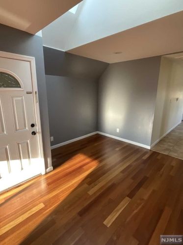
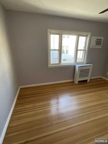
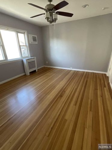
89 12th St
Price history :
- 2 beds
- 1 bath
second floor apartment on dead end street very spacious and clean rooms,hardwood floors...
12th St Fire Incident History
To date, we have no information about fire incidents in 2026
27 Jan 2019
Cooking fire, confined to container
Property Use —
Multifamily dwellings
Area of Origin —
Cooking area, kitchen
First Ignition —
Cooking materials, including edible materials
27 Jan 2019
Cooking fire, confined to container
Property Use —
Multifamily dwellings
Area of Origin —
Cooking area, kitchen
First Ignition —
Cooking materials, including edible materials
15 Jun 2017
Passenger vehicle fire
Property Use —
Residential street, road or residential driveway
Area of Origin —
Operator/passenger area of transportation equip.
03 Apr 2017
Trash or rubbish fire, contained
Property Use —
Multifamily dwellings
Area of Origin —
Bedroom - 5+ persons; including barrack/dormitory
First Ignition —
Rubbish, trash, or waste
12th St Incidents registered in FEMA
(Federal Emergency Management Agency)
To date, we have no information about incidents registered in FEMA in 2026
24 May 2015
Carbon monoxide incident
Property Use —
Multifamily dwellings
16 Nov 2014
Carbon monoxide incident
Property Use —
1 or 2 family dwelling
19 May 2014
Outside rubbish fire, other
Property Use —
1 or 2 family dwelling
29 Apr 2012
Building fires
Property Use —
1 or 2 family dwelling
Properties Nearby
| Street Address |
|---|
15 12th St, Paterson, NJ 07506-3727 Single Family
|
38 12th St, Paterson, NJ 07506-3726 Single Family
|
39 12th St, Paterson, NJ 07506-3727 Single Family
|
109 12th St, Paterson, NJ 07508-1939 Single Family
|