Cost estimate history
| Year | Tax | Assessment | Market |
|---|---|---|---|
| 2014 | N/A | $85,900 | N/A |
| 2013 | $4,287 | N/A | N/A |
Advertisement
Continue Reading Below
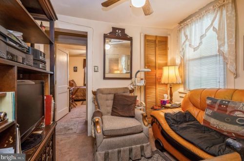
Market Activities
Taylor Ave Fire Incident History
To date, we have no information about fire incidents in 2025
28 Aug 2017
Passenger vehicle fire
Property Use —
Residential street, road or residential driveway
Area of Origin —
Engine area, running gear, wheel area
08 Sep 2016
Passenger vehicle fire
Property Use —
Vehicle storage, other
Area of Origin —
Operator/passenger area of transportation equip.
15 Jan 1999
Fire, other
Property Use —
1 or 2 family dwelling
Area of Origin —
Exterior balcony, unenclosed porch
First Ignition —
Flammable liquid/gas - in/from final container
Heat Source —
Radiated, conducted heat from operating equipment
Taylor Ave Incidents registered in FEMA
(Federal Emergency Management Agency)
To date, we have no information about incidents registered in FEMA in 2025
16 Jul 2015
Cooking fire, confined to container
Property Use —
1 or 2 family dwelling
16 Mar 2015
Gas leak (natural gas or LPG)
Property Use —
1 or 2 family dwelling
31 Oct 2012
Power line down
Property Use —
1 or 2 family dwelling
01 Oct 2011
Gas leak (natural gas or LPG)
Property Use —
Multifamily dwellings
Properties Nearby
| Street Address |
|---|
11 Taylor Ave, Trenton, NJ 08610-3001 Single Family
|
22 Taylor Ave, Trenton, NJ 08610-3002 Single Family
|
31 Taylor Ave, Trenton, NJ 08610-3001 Single Family
|
63 Taylor Ave, Trenton, NJ 08610-3001 Single Family Residential
|
69 Taylor Ave, Trenton, NJ 08610-3001 Single Family Residential
|
77 Taylor Ave, Trenton, NJ 08610-3001 Single Family Residential
|
78 Taylor Ave, Trenton, NJ 08610-3002 Single Family Residential
|
83 Taylor Ave, Trenton, NJ 08610-3001 Single Family Residential
|
90 Taylor Ave, Trenton, NJ 08610-3002 Single Family Residential
|
95 Taylor Ave, Trenton, NJ 08610-3001 Single Family Residential
|