97 North St, Dalton MA  01226-1206 exterior 97 North St, Dalton MA  01226-1206 exterior 97 North St, Dalton MA  01226-1206 exterior

97 North St Dalton, MA 01226 / 1206

Residence for Single Family

(UPDATED: 09/27/2024)
  • 4 Beds
  • 2 Baths
  • 2.435 square feet
For Sale
$395,000
Property Report

Information about property on 97 North St, Dalton MA, 01226-1206. Find out owner contacts, building history, price, neighborhood at Homemetry Address Directory.

Property Details

This approximately twenty-four hundred square feet property with 9 rooms including 4 bedrooms and 2 1/2 bathrooms was built in 1915 on 0,38 acres.

Facts

  • Built in 1915
  • Lot size 0,38 acres
  • Floor size 2,435 sqft
  • Rooms 9
  • Bedrooms 4
  • Bathrooms 2,5
  • Stories 2
  • Basement area Finished basement, 251 sqft
  • Heating & Cooling
  • Heat type Other
  • Exterior Home Features
  • Exterior material Vinyl
  • Roof type Asphalt
Advertisement
Continue Reading Below

Misc

  • Units 1

Listing info

  • Last sold Oct 2002 for $182,500

Features

  • Fireplace

Householders and Tenants for 97 North St, Dalton MA

Advertisement
Continue Reading Below

Where is 97 North St, Dalton MA located on map?

Market Activities

To date, we have no information about market activities in 2026
Sep 2024 Listed for sale
97 North St
Price history :
  • Single Family
  • 2,435 sqft
  • 4 beds
  • 3 baths
Sep 2024 Listed for sale
97 North St
Price history :
  • Single Family
  • 2,435 sqft
  • 4 beds
  • 3 baths

View more

North St Fire Incident History

To date, we have no information about fire incidents in 2026
01 Jan 2018 Fuel burner/boiler malfunction, fire confined
Property Use —
1 or 2 family dwelling
Area of Origin —
Substructure area or space, crawl space
First Ignition —
Flammable liquid/gas - in/from final container
Heat Source —
Heat, spark from friction
03 Jul 2017 Building fires
Property Use —
1 or 2 family dwelling
Area of Origin —
Laundry area, wash house (laundry)
First Ignition —
Wearing apparel on a person
Heat Source —
Radiated, conducted heat from operating equipment
26 Oct 2014 Chimney or flue fire, confined to chimney or flue
Property Use —
1 or 2 family dwelling
Area of Origin —
Conduit, pipe, utility, or ventilation shaft
First Ignition —
Film, residue, including paint & resin
Heat Source —
Hot ember or ash
10 Jul 2010 Natural vegetation fire, other
Property Use —
Open land or field
Area of Origin —
Wildland, woods
First Ignition —
Heavy vegetation - not crop, including trees
Heat Source —
Hot or smoldering object, other

View more

St Incidents registered in FEMA
(Federal Emergency Management Agency)

To date, we have no information about incidents registered in FEMA in 2026
12 May 2015 Power line down
Property Use —
Highway or divided highway
03 May 2015 Authorized controlled burning
Property Use —
Food and beverage sales, grocery store
28 Oct 2014 Unauthorized burning
Property Use —
1 or 2 family dwelling
15 Oct 2014 Unauthorized burning
Property Use —
1 or 2 family dwelling

View more

Properties Nearby

Street Address
75 St, Dalton, MA 01226-1204
Multiple Occupancy
  • 6 beds
  • 3 baths
  • 2,381 sqft
  • Built in 1850
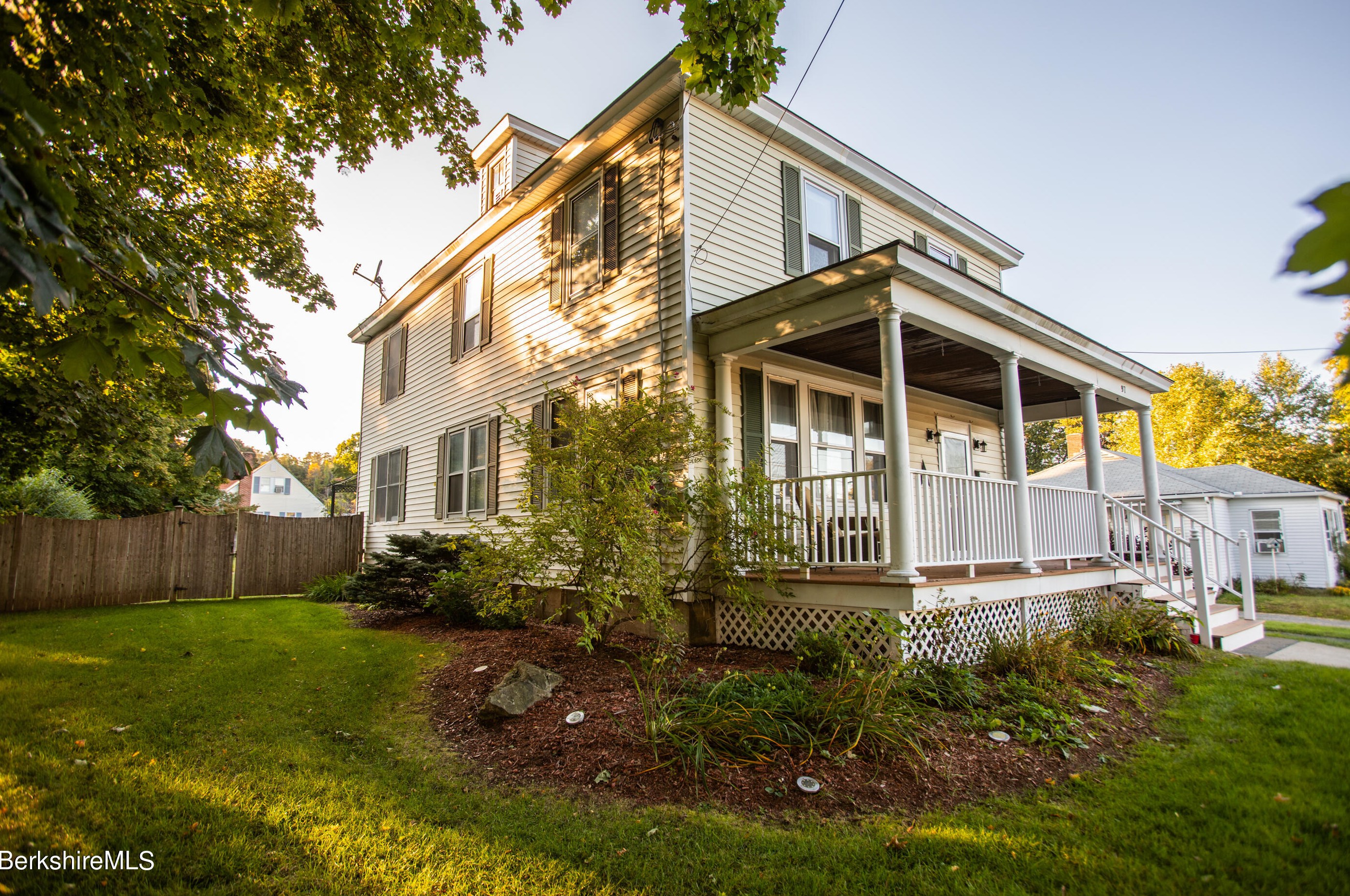
85 St, Dalton, MA 01226-1204
Single Family
  • 4 beds
  • 1 bath
  • 1,953 sqft
  • Built in 1900
88 St, Dalton, MA 01226-1231
Single Family
  • 4 beds
  • 1.5 baths
  • 1,754 sqft
  • Built in 1926
200 St, Dalton, MA 01226-1259
High Rise
  • 5 beds
  • 6 baths
  • 27,442 sqft
 

FAQ about the house at 97 St, Dalton, MA

Advertisement

NOTICE: You may not use Homemetry or the information it provides to make decisions about employment, credit, housing or any other purpose that would require Fair Credit Reporting Act (FCRA) compliance. Homemetry is not a Consumer Reporting Agency (CRA) as defined by the FCRA and does not provide consumer reports.