Cost estimate history
| Year | Tax | Assessment | Market |
|---|---|---|---|
| 2014 | $2,919 | $148,100 | N/A |
Advertisement
Continue Reading Below
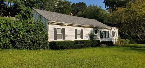
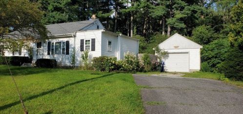
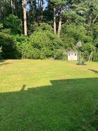
Market Activities
To date, we have no information about market activities in 2026
Sep 2023
Listed for sale
Feb 2022
Sold
Aug 2021
Sold
Flint St Fire Incident History
To date, we have no information about fire incidents in 2026
21 Jun 2008
Special outside fire, other
Property Use —
1 or 2 family dwelling
Area of Origin —
Outside area, other
Heat Source —
Heat from other open flame or smoking materials
103 Flint St incidents registered in FEMA
(Federal Emergency Management Agency)
To date, we have no information about incidents registered in FEMA in 2026
18 Dec 2004
Outside rubbish fire, other
Property Use —
Residential street, road or residential driveway
Flint St Incidents registered in FEMA
(Federal Emergency Management Agency)
To date, we have no information about incidents registered in FEMA in 2026
30 Oct 2012
Unauthorized burning
Property Use —
1 or 2 family dwelling
04 Feb 2011
Electrical wiring/equipment problem, other
Property Use —
1 or 2 family dwelling
14 Mar 2010
Power line down
Property Use —
Residential street, road or residential driveway
18 Dec 2004
Outside rubbish fire, other
Property Use —
Residential street, road or residential driveway
Properties Nearby
| Street Address |
|---|
19 Flint St, Springfield, MA 01129-1305 Single Family
|
27 Flint St, Springfield, MA 01129-1305 Single Family
|
37 Flint St, Springfield, MA 01129-1305 Single Family
|
47 Flint St, Springfield, MA 01129-1305 Single Family Residential
|
48 Flint St, Springfield, MA 01129-1339 Single Family
|
55 Flint St, Springfield, MA 01129-1305 Single Family
|