

Purchase History
| Date | Event | Price | Source | Agents |
|---|---|---|---|---|
| 08/18/2011 | Sold | $69,900 | Public records | |
| 09/15/2009 | Sold | $21,000 | Public records | |
| 09/12/2008 | Sold | $40,341 | Public records |
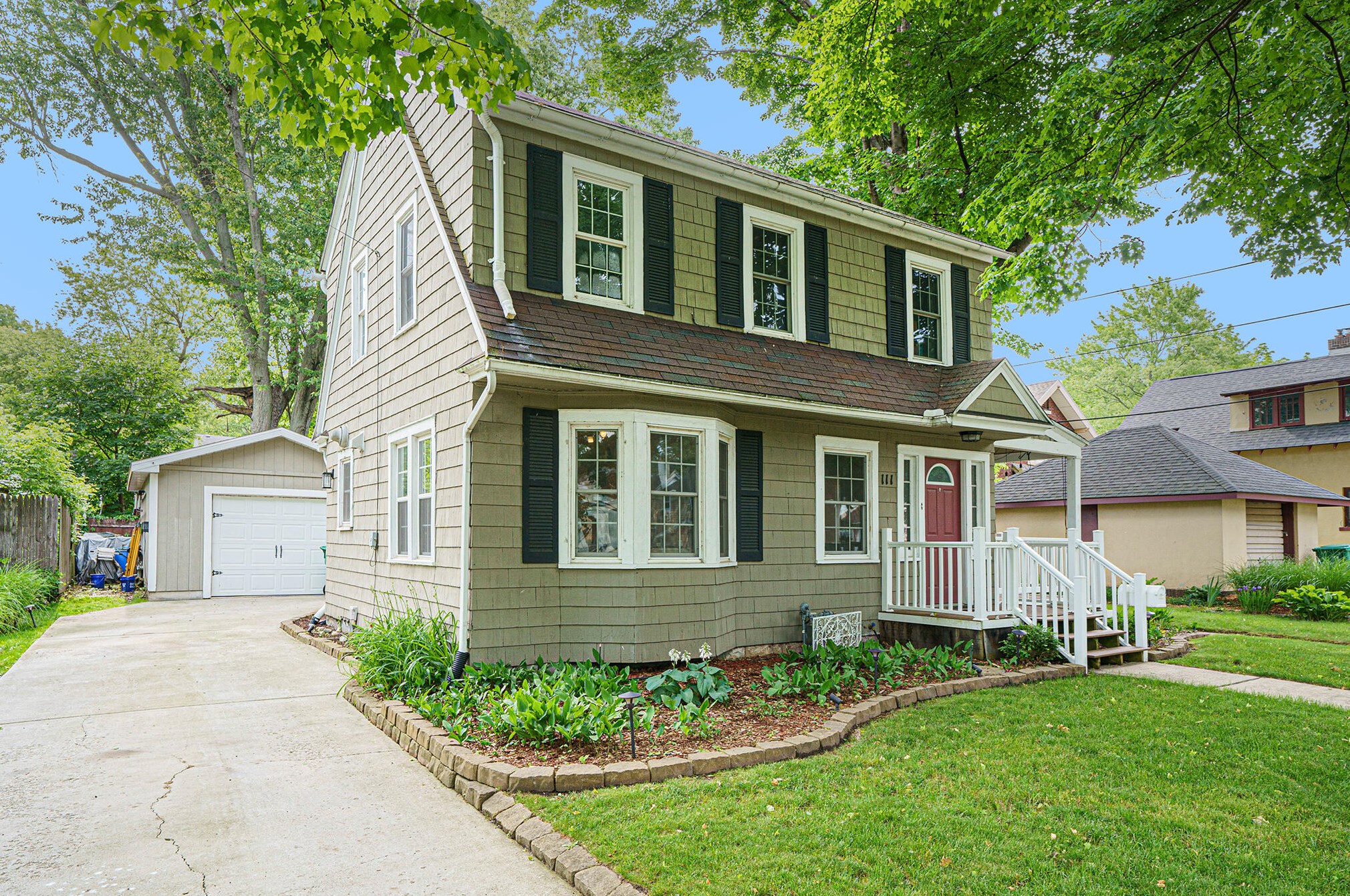
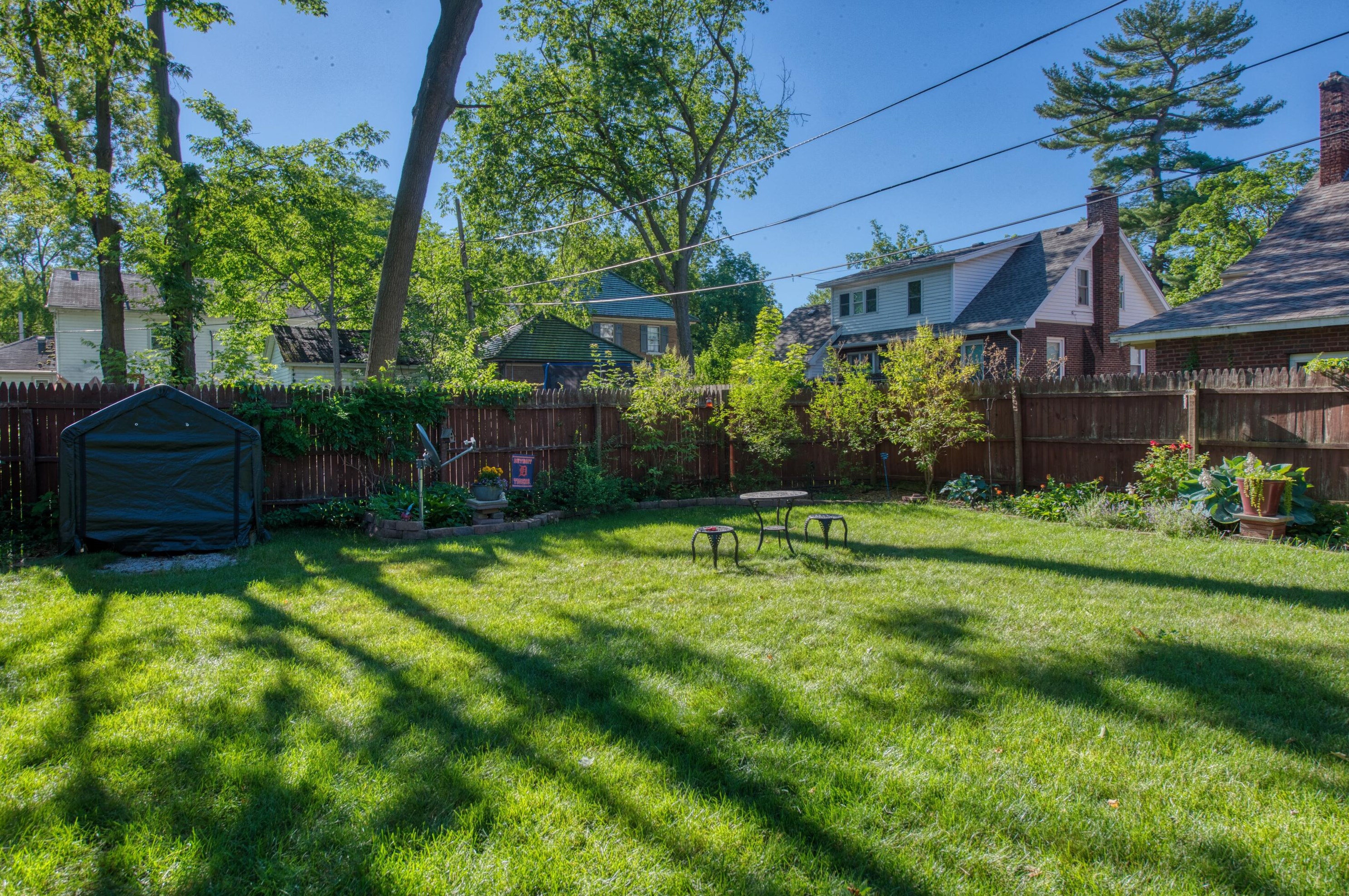
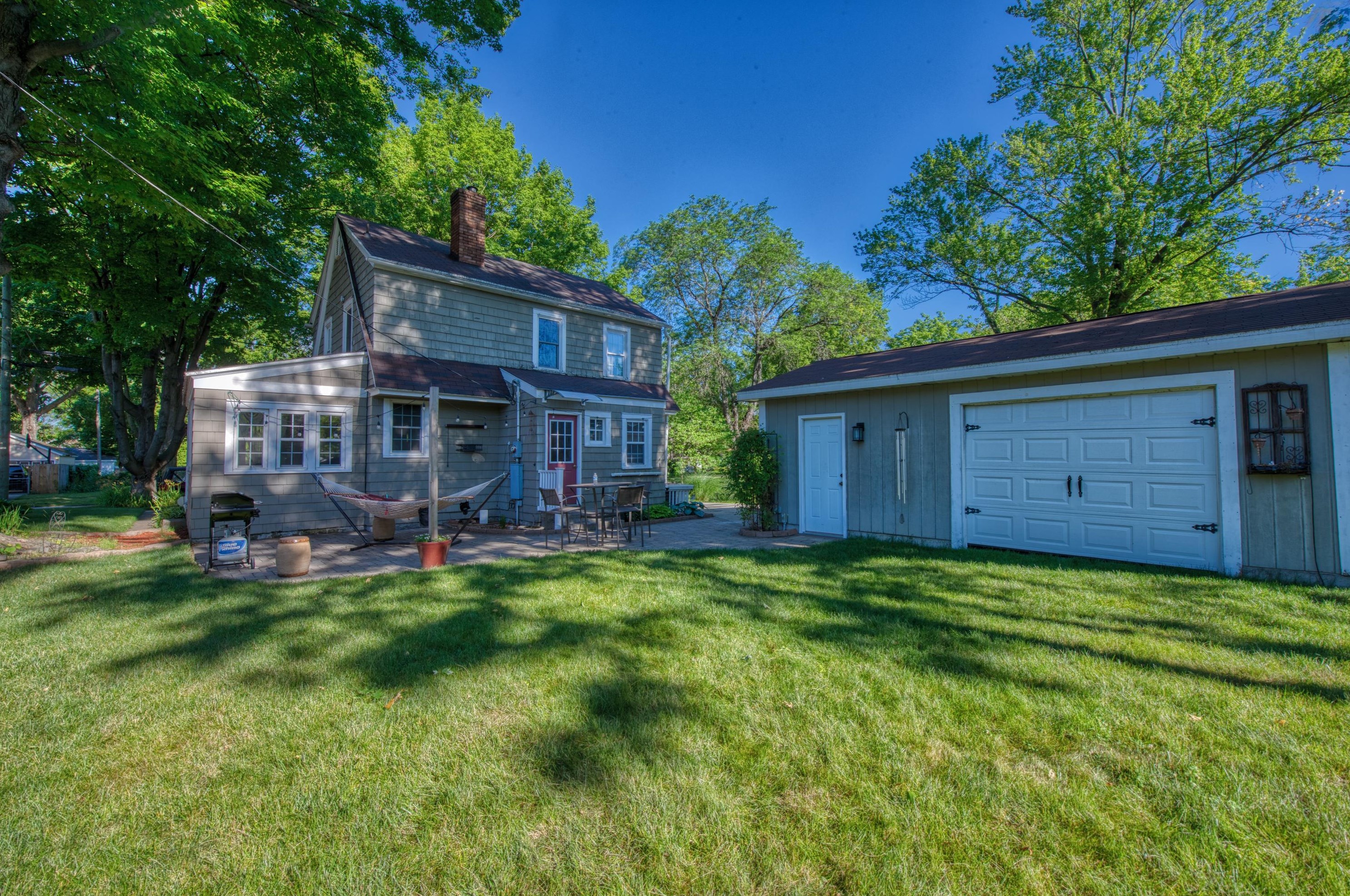
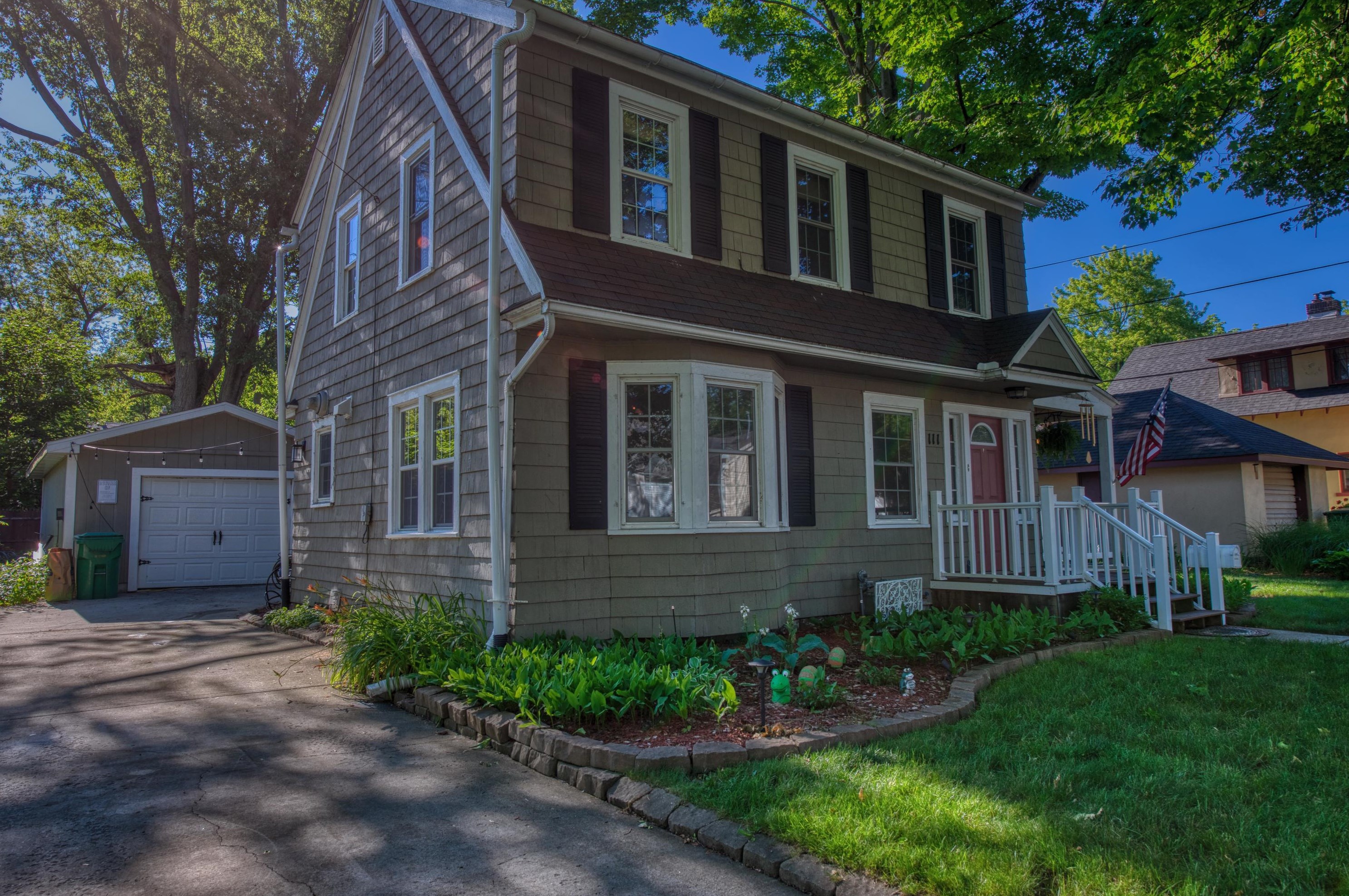
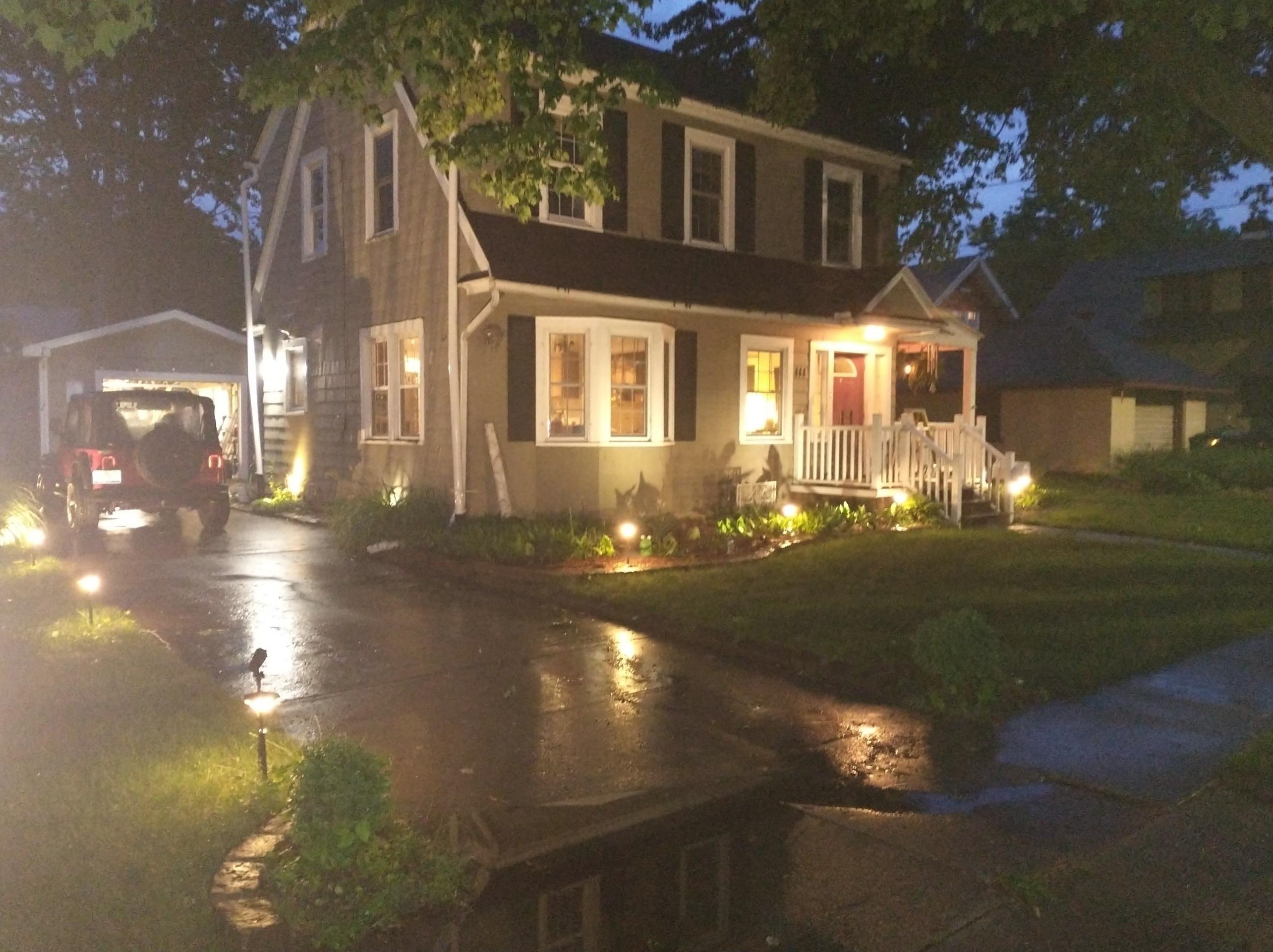
PURCHASE HISTORY 111 12th St, Niles MI
Cost estimate history
| Year | Tax | Assessment | Market |
|---|---|---|---|
| 2013 | N/A | $25,100 | N/A |
Advertisement
Continue Reading Below
Market Activities
To date, we have no information about market activities in 2026
Jul 2022
Sold
Jun 2022
Listed for sale
Jun 2021
Sold
111 12th St Fire Incident History
To date, we have no information about fire incidents in 2026
06 Jul 2017
Grass fire
Property Use —
Residential street, road or residential driveway
Area of Origin —
Open area - outside; included are farmland, field
First Ignition —
Liquids, piping, filters, other
Heat Source —
Hot ember or ash
12 St Fire Incident History
To date, we have no information about fire incidents in 2026
20 Nov 2018
Cooking fire, confined to container
06 Jul 2017
Grass fire
Property Use —
Residential street, road or residential driveway
Area of Origin —
Open area - outside; included are farmland, field
First Ignition —
Liquids, piping, filters, other
Heat Source —
Hot ember or ash
09 Jul 2012
Fire, other
Property Use —
1 or 2 family dwelling
Area of Origin —
Cooking area, kitchen
First Ignition —
Cooking materials, including edible materials
Heat Source —
Spark, ember or flame from operating equipment
13 Aug 2005
Passenger vehicle fire
Property Use —
Property Use, other
Area of Origin —
Engine area, running gear, wheel area
Heat Source —
Arcing
12 St Incidents registered in FEMA
(Federal Emergency Management Agency)
To date, we have no information about incidents registered in FEMA in 2026
29 Aug 2015
Authorized controlled burning
Property Use —
1 or 2 family dwelling
28 May 2013
Unauthorized burning
Property Use —
1 or 2 family dwelling
09 Jul 2012
Cooking fire, confined to container
Property Use —
1 or 2 family dwelling
10 May 2012
Unauthorized burning
Property Use —
1 or 2 family dwelling
Properties Nearby
| Street Address |
|---|
15 12 St, Niles, MI 49120-0026 Single Family Residential
|