


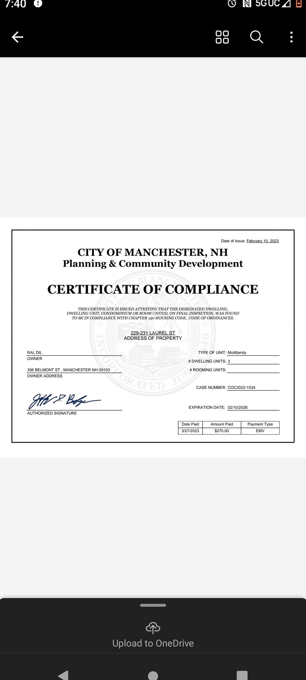
Purchase History
| Date | Event | Price | Source | Agents |
|---|---|---|---|---|
| 05/30/2003 | Sold | $235,000 | Public records | |
| 12/20/1999 | Sold | $122,900 | Public records |
Cost estimate history
| Year | Tax | Assessment | Market |
|---|---|---|---|
| 2013 | $5,176 | $228,300 | N/A |
Advertisement
Continue Reading Below
Market Activities
Laurel St Fire Incident History
To date, we have no information about fire incidents in 2025
09 Jul 2019
Natural vegetation fire, other
Property Use —
1 or 2 family dwelling
Area of Origin —
Outside area, other
First Ignition —
Multiple items first ignited
Heat Source —
Heat from other open flame or smoking materials
18 May 2019
Passenger vehicle fire
Property Use —
Residential street, road or residential driveway
Area of Origin —
Outside area, other
First Ignition —
Multiple items first ignited
Heat Source —
Heat from other open flame or smoking materials
15 Jan 2019
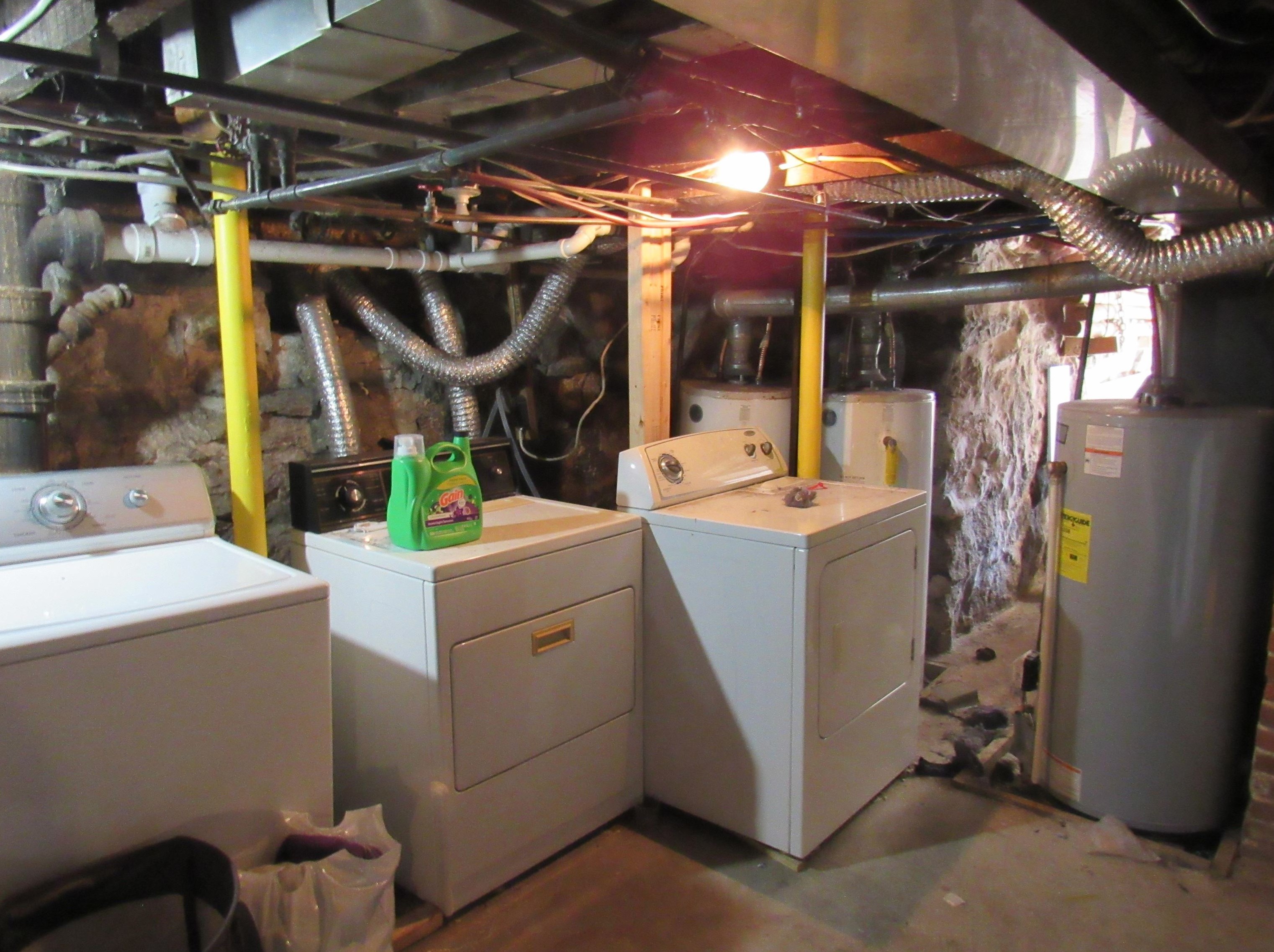
Building fires
Property Use —
Multifamily dwellings
Area of Origin —
Exterior balcony, unenclosed porch
First Ignition —
Box, carton, bag, basket, barrel
Heat Source —
Cigarette
14 Mar 2017
Passenger vehicle fire
Property Use —
Residential street, road or residential driveway
Area of Origin —
Engine area, running gear, wheel area
229 Laurel St incidents registered in FEMA
(Federal Emergency Management Agency)
To date, we have no information about incidents registered in FEMA in 2025
18 Mar 2011
Arcing, shorted electrical equipment
Property Use —
Multifamily dwellings
Laurel St Incidents registered in FEMA
(Federal Emergency Management Agency)
To date, we have no information about incidents registered in FEMA in 2025
10 Oct 2015
Hazardous condition, other
Property Use —
1 or 2 family dwelling
18 Dec 2014
Light ballast breakdown
Property Use —
1 or 2 family dwelling
27 Nov 2014
Cooking fire, confined to container
Property Use —
Multifamily dwellings
27 Nov 2014
Power line down
Property Use —
Residential street, road or residential driveway
Properties Nearby
| Street Address |
|---|
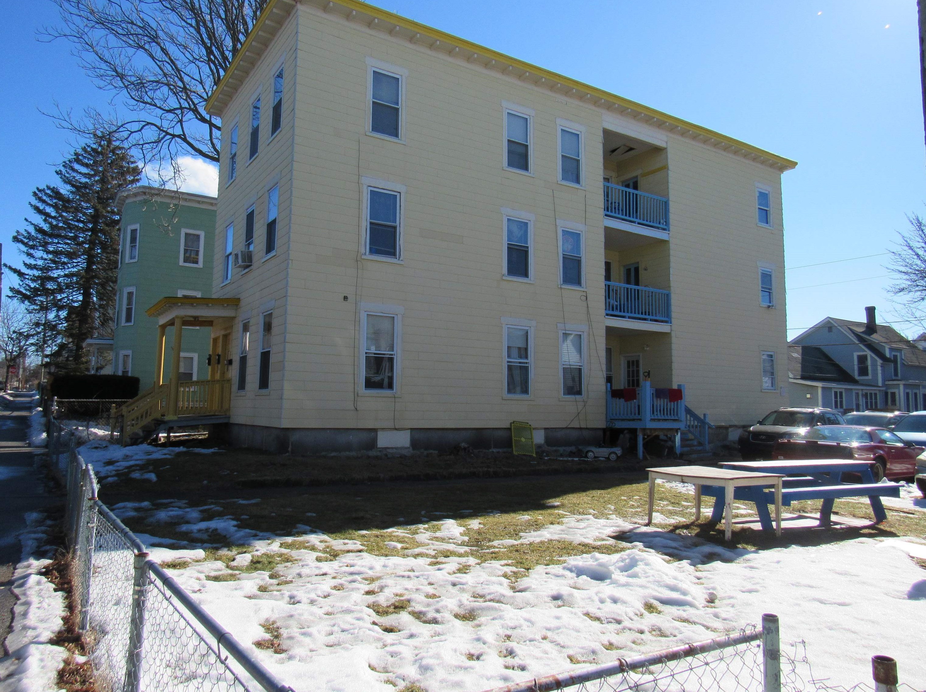
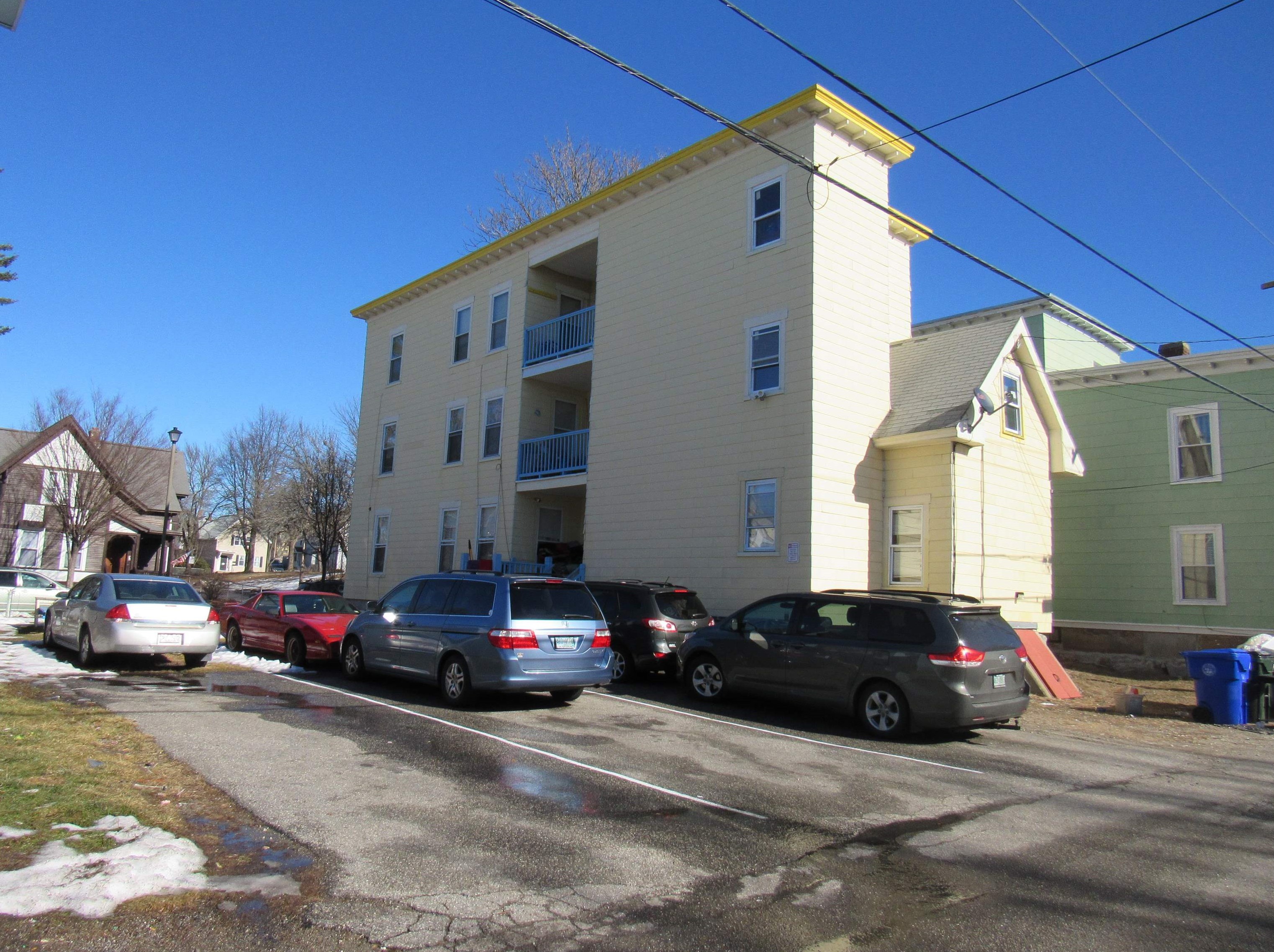
70 Laurel St, Manchester, NH 03103-5235 Multiple Occupancy
|
119 Laurel St, Manchester, NH 03103-5205 Single Family Residential
|