


Cost estimate history
| Year | Tax | Assessment | Market |
|---|---|---|---|
| 2014 | $4,245 | $190,260 | N/A |
Advertisement
Continue Reading Below
Market Activities
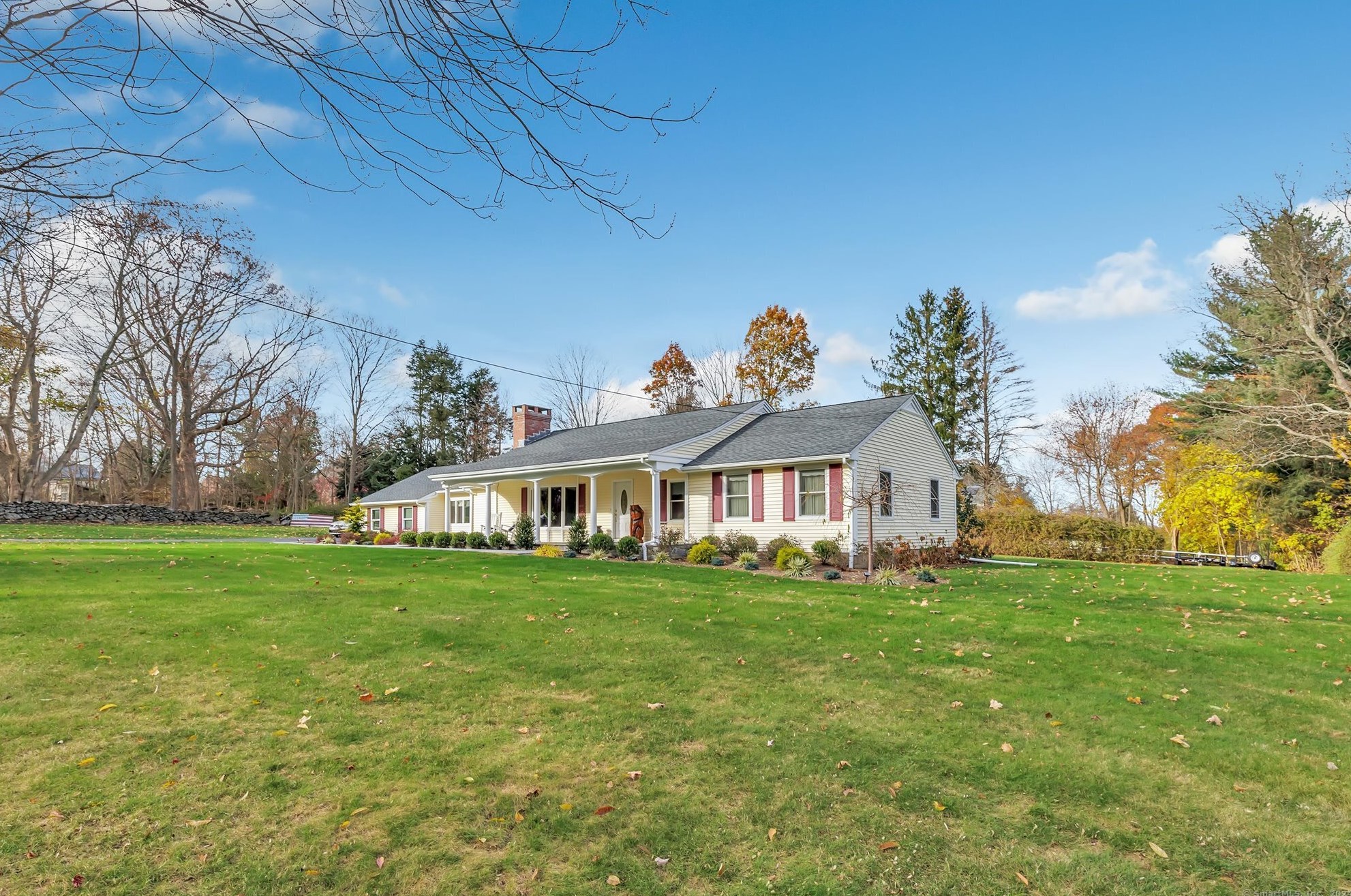
243 Leavenworth Rd Fire Incident History
To date, we have no information about fire incidents in 2026
07 Mar 2009
Building fires
Property Use —
1 or 2 family dwelling
Area of Origin —
Cooking area, kitchen
Heat Source —
Heat from powered equipment, other
Leavenworth Rd Fire Incident History
To date, we have no information about fire incidents in 2026
29 Apr 2018
Brush, or brush and grass mixture fire
Property Use —
Residential street, road or residential driveway
Area of Origin —
Highway, parking lot, street: on or near
12 Apr 2018
Forest, woods or wildland fire
26 Mar 2018
Brush, or brush and grass mixture fire
Property Use —
Residential street, road or residential driveway
Area of Origin —
Highway, parking lot, street: on or near
08 Dec 2017
Brush, or brush and grass mixture fire
Property Use —
Graded and cared-for plots of land
Area of Origin —
Open area - outside; included are farmland, field
Leavenworth Rd Incidents registered in FEMA
(Federal Emergency Management Agency)
To date, we have no information about incidents registered in FEMA in 2026
19 Dec 2015
Vehicle accident, general cleanup
Property Use —
Residential street, road or residential driveway
15 Nov 2015
Vehicle accident, general cleanup
Property Use —
Residential street, road or residential driveway
04 Jul 2015
Authorized controlled burning
Property Use —
Graded and cared-for plots of land
19 Apr 2015
Brush, or brush and grass mixture fire
Properties Nearby
| Street Address |
|---|
19 Leavenworth Rd, Huntington, CT 06484-2163 Single Family Residential
|
29 Leavenworth Rd, Huntington, CT 06484-2163 Unspecified
|
180 Leavenworth Rd, Huntington, CT 06484-2113 Single Family Residential
|