

Purchase History
| Date | Event | Price | Source | Agents |
|---|---|---|---|---|
| 04/16/2010 | Sold | $113,000 | Public records | |
| 02/06/2007 | Sold | $196,000 | Public records | |
| 11/09/2005 | Sold | $158,000 | Public records | |
| 06/02/2005 | Sold | $94,000 | Public records |
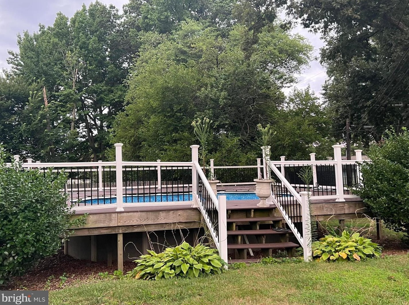
PURCHASE HISTORY 30 Left Wing Dr, Baltimore MD
Cost estimate history
| Year | Tax | Assessment | Market |
|---|---|---|---|
| 2014 | N/A | $122,400 | N/A |
| 2011 | $1,402 | N/A | N/A |
| 2008 | N/A | N/A | $122,400 |
Advertisement
Continue Reading Below
Market Activities
30 Left Wing Dr Fire Incident History
To date, we have no information about fire incidents in 2026
04 May 2015
Natural vegetation fire, other
Property Use —
Outside or special property, other
Area of Origin —
Outside area, other
First Ignition —
Heavy vegetation - not crop, including trees
Heat Source —
Hot ember or ash
26 Aug 2004
Fires in structures other than in a building
Property Use —
1 or 2 family dwelling
Area of Origin —
Laundry area, wash house (laundry)
First Ignition —
Wearing apparel not on a person
Heat Source —
Spark, ember or flame from operating equipment
Left Wing Dr Fire Incident History
To date, we have no information about fire incidents in 2026
25 Aug 2018
Natural vegetation fire, other
Property Use —
Outside or special property, other
Area of Origin —
Outside area, other
First Ignition —
Organic materials, other
Heat Source —
Match
04 May 2015
Natural vegetation fire, other
Property Use —
Outside or special property, other
Area of Origin —
Outside area, other
First Ignition —
Heavy vegetation - not crop, including trees
Heat Source —
Hot ember or ash
06 Dec 2011
Passenger vehicle fire
Property Use —
Vehicle parking area
13 Jul 2005
Building fires
Property Use —
1 or 2 family dwelling
Area of Origin —
Common room, den, family room, living room, lounge
First Ignition —
Decoration
Heat Source —
Heat from other open flame or smoking materials
30 Left Wing Dr incidents registered in FEMA
(Federal Emergency Management Agency)
To date, we have no information about incidents registered in FEMA in 2026
19 Apr 2015
Prescribed fire
Property Use —
Open land or field
06 Mar 2002
Emergency medical service, other (conversion only)
Property Use —
1 or 2 family dwelling
27 Jan 2001
Emergency medical service, other (conversion only)
Property Use —
1 or 2 family dwelling
Left Wing Dr Incidents registered in FEMA
(Federal Emergency Management Agency)
To date, we have no information about incidents registered in FEMA in 2026
19 Apr 2015
Prescribed fire
Property Use —
Open land or field
25 Nov 2013
Outside rubbish fire, other
Property Use —
1 or 2 family dwelling
03 Nov 2013
Outside rubbish fire, other
Property Use —
1 or 2 family dwelling
06 Sep 2013
Authorized controlled burning
Property Use —
Residential street, road or residential driveway
Properties Nearby
| Street Address |
|---|
1 Left Wing Dr, Baltimore, MD 21220-4620 Single Family Residential
|
2 Left Wing Dr, Baltimore, MD 21220-4621 Single Family Residential
|
10 Left Wing Dr, Baltimore, MD 21220-4621 Lot/Land
|
17 Left Wing Dr, Baltimore, MD 21220-4620 Single Family Residential
|
24 Left Wing Dr, Baltimore, MD 21220-4621 Lot/Land
|
31 Left Wing Dr, Baltimore, MD 21220-4642 Single Family Residential
|
37 Left Wing Dr, Baltimore, MD 21220-4642 Single Family Residential
|
40 Left Wing Dr, Baltimore, MD 21220-4645 Single Family Residential
|
42 Left Wing Dr, Baltimore, MD 21220-4645 Single Family Residential
|


