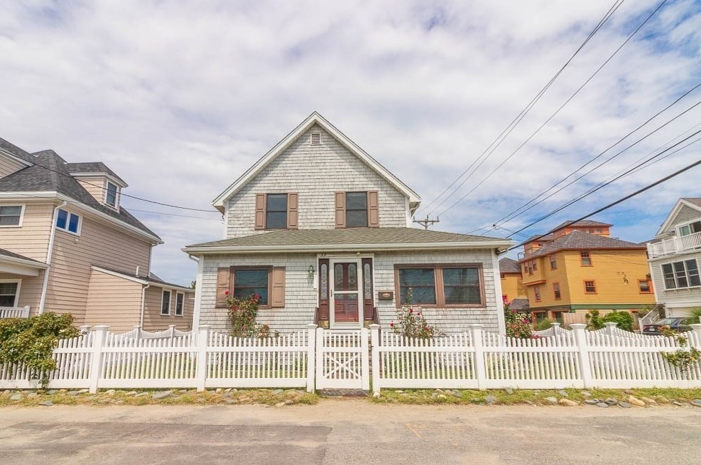


Cost estimate history
| Year | Tax | Assessment | Market |
|---|---|---|---|
| 2014 | $4,755 | $342,800 | N/A |
Advertisement
Continue Reading Below
Market Activities
39 R St incidents registered in FEMA
(Federal Emergency Management Agency)
To date, we have no information about incidents registered in FEMA in 2026
22 Oct 2014
Power line down
Property Use —
Street, other
08 Dec 2001
Citizen complaint
Property Use —
Beach
R St Incidents registered in FEMA
(Federal Emergency Management Agency)
To date, we have no information about incidents registered in FEMA in 2026
27 Jan 2015
Power line down
Property Use —
1 or 2 family dwelling
22 Oct 2014
Power line down
Property Use —
Street, other
25 Jul 2014
Unauthorized burning
Property Use —
1 or 2 family dwelling
15 Oct 2011
Power line down
Property Use —
1 or 2 family dwelling
Properties Nearby
| Street Address |
|---|
6 R St, Hull, MA 02045-1621 Single Family
|
7 R St, Hull, MA 02045-1620 Single Family
|
9 R St, Hull, MA 02045-1620 Single Family
|
32 R St, Hull, MA 02045-1622 Single Family
|
34 R St, Hull, MA 02045-1622 Single Family
|
35 R St, Hull, MA 02045-1623 Single Family
|
36 R St, Hull, MA 02045-1622 Single Family
|
37 R St, Hull, MA 02045-1623 Multi Family
|