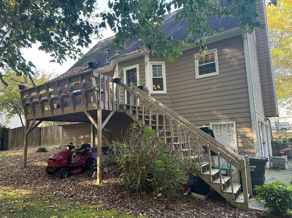


Cost estimate history
| Year | Tax | Assessment | Market |
|---|---|---|---|
| 2014 | $222 | N/A | N/A |
| 2013 | N/A | $20,680 | $51,700 |
Advertisement
Continue Reading Below
Market Activities
To date, we have no information about market activities in 2026
Dec 2023
Sold
Nov 2023
Sold
Oct 2023
Sold
Ladora Dr Fire Incident History
To date, we have no information about fire incidents in 2026
10 Mar 2017
Building fires
Property Use —
1 or 2 family dwelling
Area of Origin —
Cooking area, kitchen
Heat Source —
Heat, spark from friction
16 Jul 2003
Building fires
Property Use —
1 or 2 family dwelling
Area of Origin —
Bathroom, checkroom, lavatory, locker room
22 May 1999
Natural vegetation fire, other
Property Use —
Forest, timberland, woodland
Area of Origin —
Wildland, woods
First Ignition —
Light vegetation - not crop, including grass
45 Ladora Dr incidents registered in FEMA
(Federal Emergency Management Agency)
To date, we have no information about incidents registered in FEMA in 2026
02 May 2003
Power line down
Property Use —
1 or 2 family dwelling
Ladora Dr Incidents registered in FEMA
(Federal Emergency Management Agency)
To date, we have no information about incidents registered in FEMA in 2026
01 Sep 2015
Unauthorized burning
Property Use —
1 or 2 family dwelling
21 May 2015
Unauthorized burning
Property Use —
1 or 2 family dwelling
22 May 2014
Trash or rubbish fire, contained
Property Use —
1 or 2 family dwelling
16 Jun 2013
Power line down
Property Use —
Residential street, road or residential driveway
Properties Nearby
| Street Address |
|---|