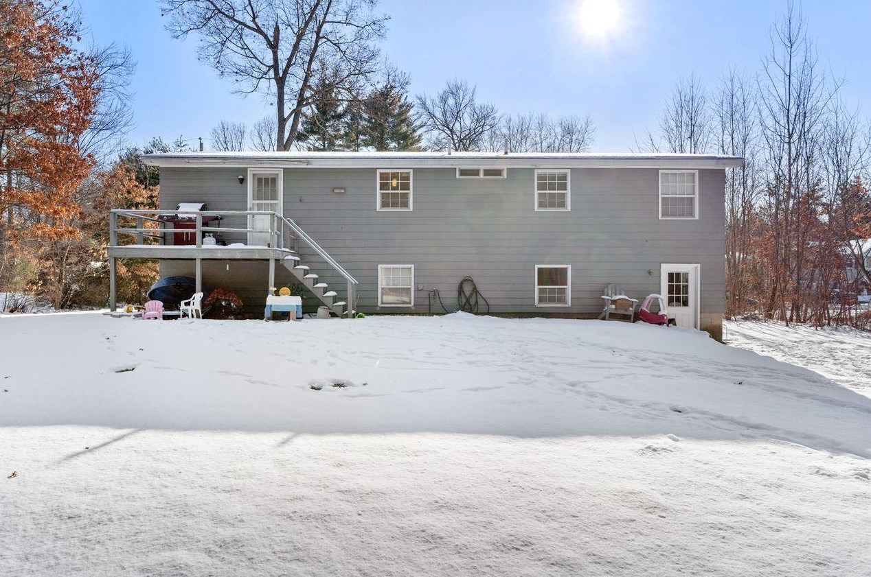
46 Brookside Dr, Merrimack NH  03054-3036 exterior 46 Brookside Dr, Merrimack NH  03054-3036 exterior 46 Brookside Dr, Merrimack NH  03054-3036 exterior

46 Brookside Dr Merrimack, NH 03054 / 3036

Residence for Single Family

(UPDATED: 02/02/2022)
  • 3 Beds
  • 2 Baths
  • 0.52 acres
For Sale
$349,000
Property Report

Information about property on 46 Brookside Dr, Merrimack NH, 03054-3036. Find out owner contacts, building history, price, neighborhood at Homemetry Address Directory.

Property Details

The property has a wood facade, underground parking, asphalt shingle roof, unfinished basement on about a half of acre lot.

Facts

  • Built in 1971
  • Lot size 0,52 acres
  • Construction Frame
  • Rooms 6
  • Bedrooms 3
  • Bathrooms 2
  • Basement Unfinished Basement
  • Heating & Cooling
  • Heat type Electric
  • Exterior Home Features
  • Exterior material Wood
  • Exterior walls Wood Siding
  • Roof type Asphalt
  • Parking & Garage
  • Parking Underground/Basement
Advertisement
Continue Reading Below

Misc

  • Units 1

Listing info

  • Last sold Jul 2014 for $199,100

Householders and Tenants for 46 Brookside Dr, Merrimack NH

Purchase History

DateEventPriceSourceAgents
07/01/2014 Sold $199,100 Public records

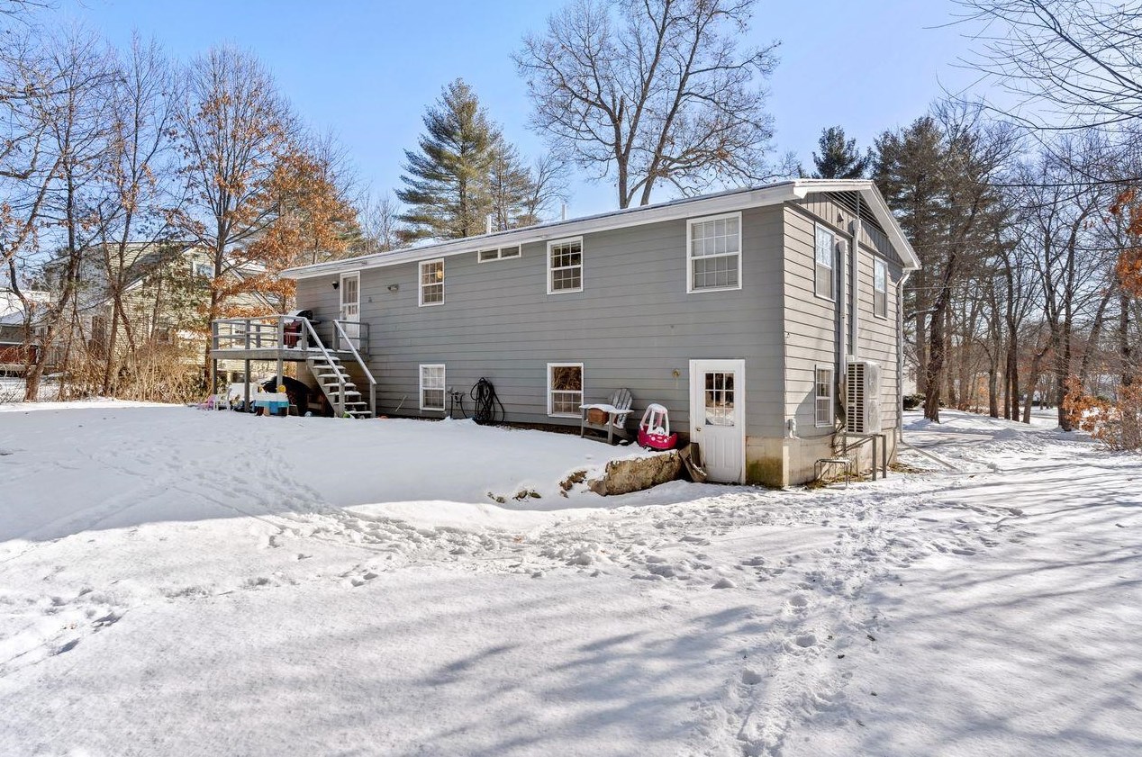
Cost estimate history

YearTaxAssessmentMarket
2013 $4,789 $200,300 N/A
Advertisement
Continue Reading Below

Where is 46 Brookside Dr, Merrimack NH located on map?

Market Activities

To date, we have no information about market activities in 2025
Feb 2022 Listed for sale
46 Brookside Dr
Price history :
  • Single Family
  • 1,422 sqft
  • 3 beds
  • 2 baths

View more

46 Brookside Dr incidents registered in FEMA
(Federal Emergency Management Agency)

To date, we have no information about incidents registered in FEMA in 2025
11 Sep 2009 Arcing, shorted electrical equipment
Property Use —
1 or 2 family dwelling
07 Mar 2003 Water problem, other
Property Use —
1 or 2 family dwelling

Brookside Dr Incidents registered in FEMA
(Federal Emergency Management Agency)

To date, we have no information about incidents registered in FEMA in 2025
19 Apr 2015 Unauthorized burning
Property Use —
1 or 2 family dwelling
21 Jun 2014 Authorized controlled burning
Property Use —
1 or 2 family dwelling
11 May 2013 Power line down
Property Use —
1 or 2 family dwelling
30 May 2010 Authorized controlled burning
Property Use —
1 or 2 family dwelling

View more

Properties Nearby

Street Address
16 Brookside Dr, Merrimack, NH 03054-3036
Single Family Residential
  • 2 beds
  • 1 bath
  • Lot: 0.41 acres
  • Built in 1971
28 Brookside Dr, Merrimack, NH 03054-3036
Single Family
  • 3 beds
  • 2.5 baths
  • 1,692 sqft
  • Built in 1970
31 Brookside Dr, Merrimack, NH 03054-3065
Single Family
  • 4 beds
  • 2.5 baths
  • 2,080 sqft
  • Built in 1971
32 Brookside Dr, Merrimack, NH 03054-3036
Single Family Residential
  • 3 beds
  • 1 bath
  • 1,830 sqft
  • Built in 1972
40 Brookside Dr, Merrimack, NH 03054-3036
Single Family Residential
  • 3 beds
  • 2 baths
  • 1,490 sqft
  • Built in 1973
43 Brookside Dr, Merrimack, NH 03054-3056
Single Family Residential
  • 2 beds
  • 2 baths
  • 2,304 sqft
  • Built in 1973
48 Brookside Dr, Merrimack, NH 03054-3036
Single Family Residential
  • 3 beds
  • 2 baths
  • 1,916 sqft
  • Built in 1972
50 Brookside Dr, Merrimack, NH 03054-3036
Single Family
  • 3 beds
  • 1 bath
  • Lot: 0.5 acres
  • Built in 1971
56 Brookside Dr, Merrimack, NH 03054-3035
Single Family
  • 4 beds
  • 2.5 baths
  • 1,894 sqft
  • Built in 1971
57 Brookside Dr, Merrimack, NH 03054-3056
Single Family Residential
  • 3 beds
  • 1 bath
  • Lot: 0.41 acres
  • Built in 1971
 

FAQ about the house at 46 Brookside Dr, Merrimack, NH

Advertisement

NOTICE: You may not use Homemetry or the information it provides to make decisions about employment, credit, housing or any other purpose that would require Fair Credit Reporting Act (FCRA) compliance. Homemetry is not a Consumer Reporting Agency (CRA) as defined by the FCRA and does not provide consumer reports.