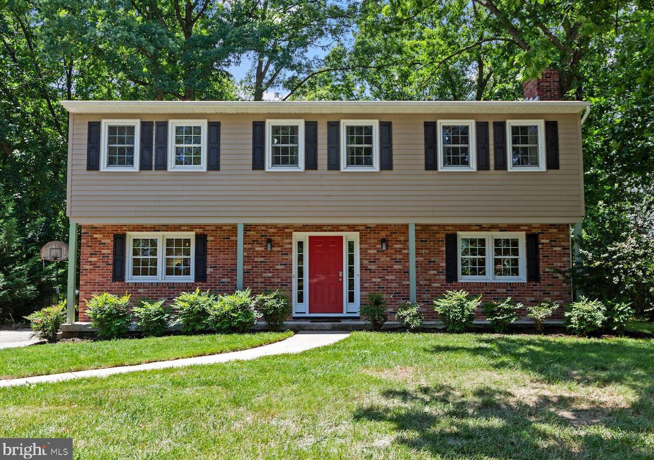


Purchase History
| Date | Event | Price | Source | Agents |
|---|---|---|---|---|
| 10/31/2007 | Sold | $513,000 | Public records | |
| 06/16/1999 | Sold | $215,800 | Public records |
Cost estimate history
| Year | Tax | Assessment | Market |
|---|---|---|---|
| 2014 | N/A | $384,600 | N/A |
| 2011 | $6,265 | N/A | N/A |
| 2008 | N/A | N/A | $384,600 |
Advertisement
Continue Reading Below
Market Activities
Roundhill Rd Fire Incident History
To date, we have no information about fire incidents in 2025
22 Dec 2016
Building fires
Property Use —
Elementary school, including kindergarten
Area of Origin —
Roof surface: exterior
First Ignition —
Exterior roof covering or finish
Heat Source —
Heat from direct flame, convection currents
29 Dec 2014
Building fires
Property Use —
1 or 2 family dwelling
Area of Origin —
Cooking area, kitchen
First Ignition —
Cooking materials, including edible materials
30 Dec 2011
Cooking fire, confined to container
Property Use —
1 or 2 family dwelling
Area of Origin —
Cooking area, kitchen
First Ignition —
Cooking materials, including edible materials
Heat Source —
Radiated, conducted heat from operating equipment
4614 Roundhill Rd incidents registered in FEMA
(Federal Emergency Management Agency)
To date, we have no information about incidents registered in FEMA in 2025
23 Dec 2006
Gas leak (natural gas or LPG)
Property Use —
1 or 2 family dwelling
23 Jun 2005
Arcing, shorted electrical equipment
Property Use —
Forest, timberland, woodland
Roundhill Rd Incidents registered in FEMA
(Federal Emergency Management Agency)
To date, we have no information about incidents registered in FEMA in 2025
15 Dec 2015
Carbon monoxide incident
Property Use —
1 or 2 family dwelling
10 Jun 2011
Power line down
Property Use —
Graded and cared-for plots of land
25 Feb 2011
Power line down
Property Use —
Open land or field
28 Jan 2011
Power line down
Property Use —
1 or 2 family dwelling
Properties Nearby
| Street Address |
|---|