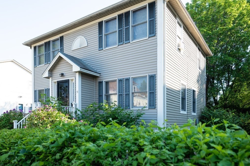


Purchase History
| Date | Event | Price | Source | Agents |
|---|---|---|---|---|
| 06/03/1996 | Sold | $99,000 | Public records |
Cost estimate history
| Year | Tax | Assessment | Market |
|---|---|---|---|
| 2013 | $2,706 | $205,900 | N/A |
Advertisement
Continue Reading Below
Market Activities
Savin St Fire Incident History
To date, we have no information about fire incidents in 2026
27 Sep 2002
Structure fire, other (conversion only)
Property Use —
Multifamily dwellings
Area of Origin —
Bedroom - < 5 persons; included are jail or prison
First Ignition —
Flammable liquid/gas in container or pipe
16 May 2002
Structure fire, other (conversion only)
Property Use —
Multifamily dwellings
Area of Origin —
Cooking area, kitchen
First Ignition —
Cooking materials, including edible materials
Heat Source —
Conducted heat from another fire
59 Savin St incidents registered in FEMA
(Federal Emergency Management Agency)
To date, we have no information about incidents registered in FEMA in 2026
06 Sep 2003
EMS call, excluding vehicle accident with injury
Property Use —
1 or 2 family dwelling
27 Mar 2003
Public service
Property Use —
1 or 2 family dwelling
Savin St Incidents registered in FEMA
(Federal Emergency Management Agency)
To date, we have no information about incidents registered in FEMA in 2026
18 Nov 2015
Cooking fire, confined to container
Property Use —
Multifamily dwellings
29 Oct 2015
Power line down
Property Use —
Residential street, road or residential driveway
08 Feb 2015
Carbon monoxide incident
Property Use —
1 or 2 family dwelling
08 Aug 2014
Hazardous condition, other
Property Use —
Day care, in commercial property
Properties Nearby
| Street Address |
|---|
6 Savin St, Boston, MA Multiple Occupancy
|
44 Savin St, Boston, MA Single Family
|
47 Savin St, Boston, MA Multiple Occupancy
|
51 Savin St, Boston, MA Lot/Land
|