Advertisement
Continue Reading Below
Market Activities
To date, we have no information about market activities in 2026
Mar 2024
Sold
Tsienneto Rd Fire Incident History
To date, we have no information about fire incidents in 2026
24 May 2019
Natural vegetation fire, other
Property Use —
Clinics, Doctors offices, hemodialysis centers
Area of Origin —
Highway, parking lot, street: on or near
05 Feb 2019
Building fires
Property Use —
1 or 2 family dwelling
Area of Origin —
Wall assembly
First Ignition —
Insulation within structural area
Heat Source —
Hot ember or ash
20 Jul 2017
Brush, or brush and grass mixture fire
Property Use —
Playground
Area of Origin —
Open area - outside; included are farmland, field
First Ignition —
Light vegetation - not crop, including grass
Heat Source —
Match
24 May 2017
Road freight or transport vehicle fire
Property Use —
Manufacturing, processing
Area of Origin —
Engine area, running gear, wheel area
Tsienneto Rd Incidents registered in FEMA
(Federal Emergency Management Agency)
To date, we have no information about incidents registered in FEMA in 2026
18 Aug 2015
Unauthorized burning
Property Use —
1 or 2 family dwelling
07 May 2015
Unauthorized burning
Property Use —
1 or 2 family dwelling
08 May 2014
Gasoline or other flammable liquid spill
Property Use —
Vehicle parking area
23 Apr 2014
Gasoline or other flammable liquid spill
Property Use —
Clinics, Doctors offices, hemodialysis centers
Properties Nearby
| Street Address |
|---|
7 Tsienneto Rd, Derry, NH 03038-1557 Lot/Land
|
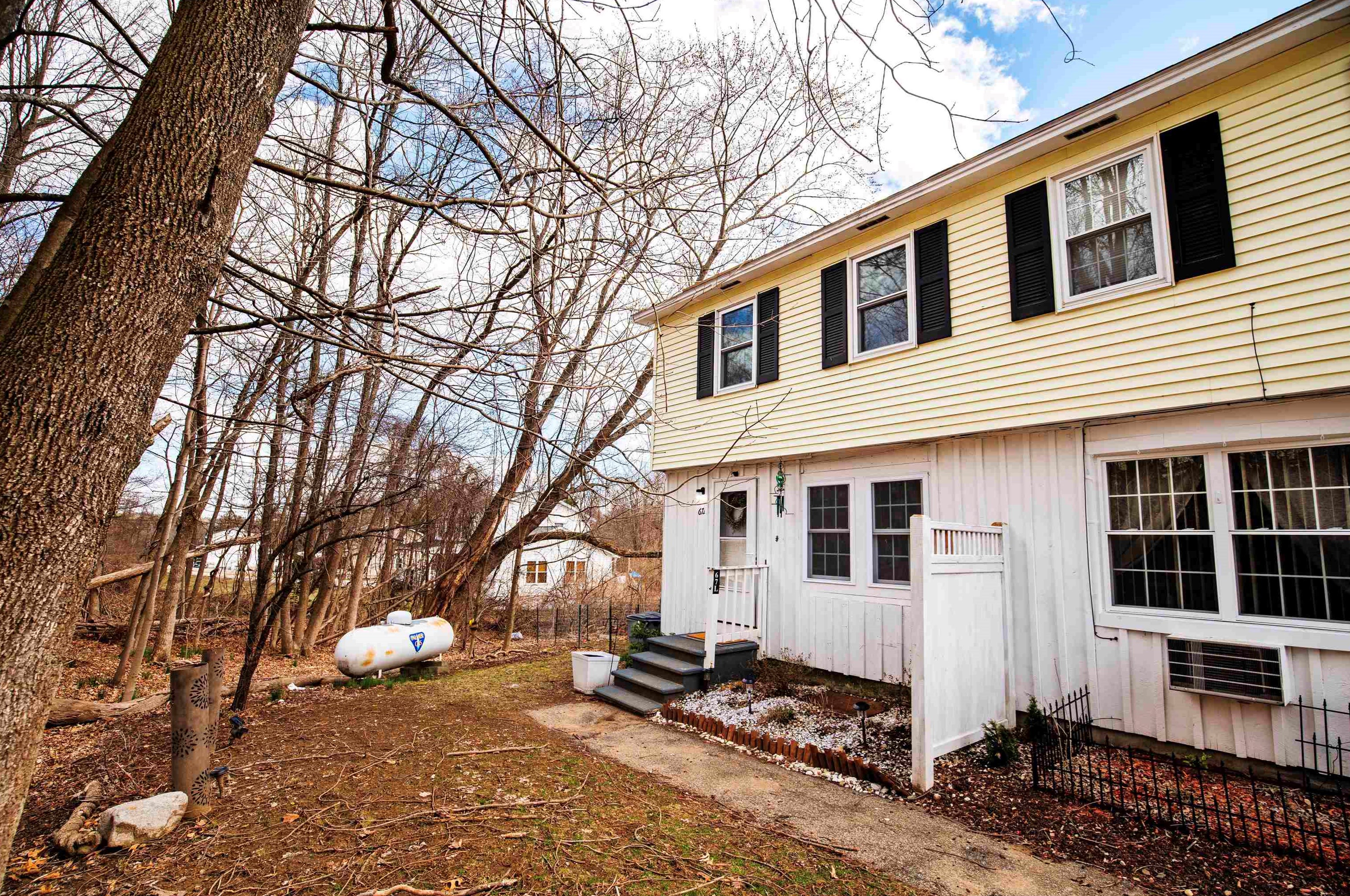
62 Tsienneto Rd, Derry, NH 03038-1544 Single Family Residential
|
63 Tsienneto Rd, Derry, NH 03038-1545 Multi-Family Home
|
64 Tsienneto Rd, Derry, NH 03038-1544 Single Family Residential
|
65 Tsienneto Rd, Derry, NH 03038-1546
|