


Advertisement
Continue Reading Below
Market Activities
Ward Rd Fire Incident History
To date, we have no information about fire incidents in 2026
06 Jan 2019
Building fires
Property Use —
1 or 2 family dwelling
Area of Origin —
Other
Heat Source —
Spark, ember or flame from operating equipment
03 Dec 2017
Brush, or brush and grass mixture fire
Property Use —
Residential, other
Area of Origin —
Outside area, other
First Ignition —
Organic materials, other
Heat Source —
Hot ember or ash
03 Mar 2011
Trash or rubbish fire, contained
Property Use —
1 or 2 family dwelling
Area of Origin —
Bathroom, checkroom, lavatory, locker room
First Ignition —
Rubbish, trash, or waste
Heat Source —
Cigarette lighter
69 Ward Rd incidents registered in FEMA
(Federal Emergency Management Agency)
To date, we have no information about incidents registered in FEMA in 2026
10 Feb 2014
Carbon monoxide incident
Property Use —
1 or 2 family dwelling
26 Dec 2010
Authorized controlled burning
Property Use —
Open land or field
Ward Rd Incidents registered in FEMA
(Federal Emergency Management Agency)
To date, we have no information about incidents registered in FEMA in 2026
25 May 2015
Unauthorized burning
Property Use —
1 or 2 family dwelling
18 Jan 2015
Power line down
Property Use —
1 or 2 family dwelling
09 Aug 2014
Unauthorized burning
Property Use —
1 or 2 family dwelling
10 Feb 2014
Carbon monoxide incident
Property Use —
1 or 2 family dwelling
Properties Nearby
| Street Address |
|---|
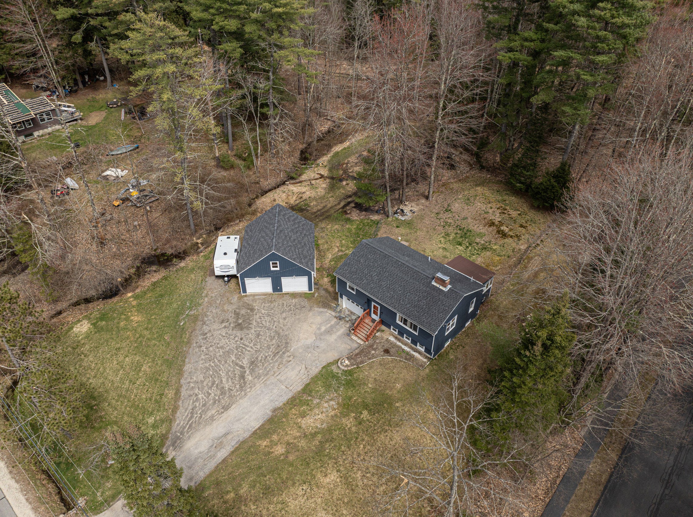
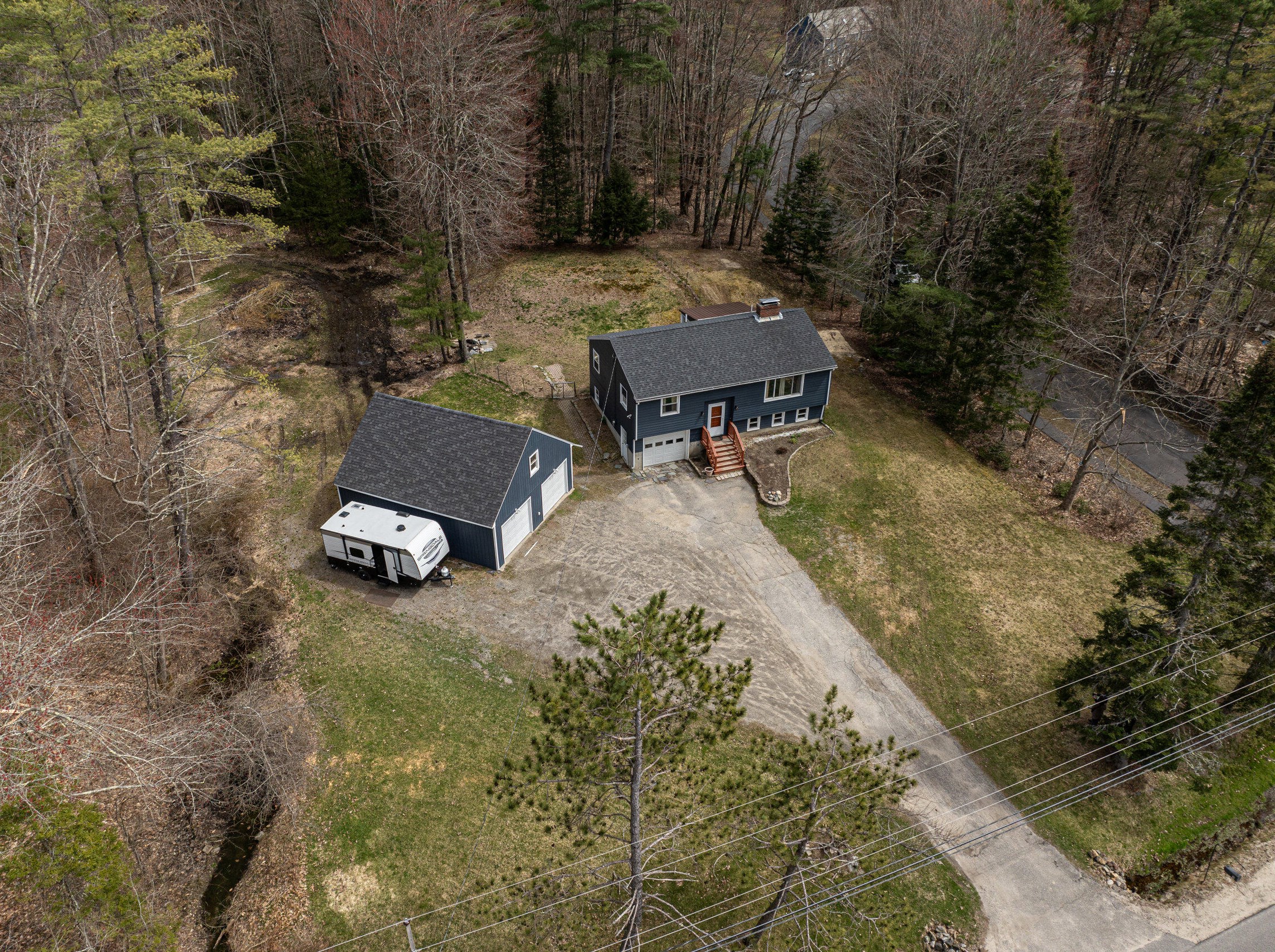
28 Ward Rd, Windham, ME 04062-4910 Single-Family Home
|
51 Ward Rd, Windham, ME 04062-4913
|
61 Ward Rd, Windham, ME 04062-4914 Single-Family Home
|
70 Ward Rd, Windham, ME 04062-4910
|