


Advertisement
Continue Reading Below
Market Activities
Robie St Fire Incident History
To date, we have no information about fire incidents in 2026
23 Dec 2016
Cooking fire, confined to container
Property Use —
1 or 2 family dwelling
Area of Origin —
Egress/exit, other
First Ignition —
Organic materials, other
Heat Source —
Radiated, conducted heat from operating equipment
13 Apr 2012
Fire, other
Property Use —
Elementary school, including kindergarten
Area of Origin —
Outside area, other
31 Jul 2011
Grass fire
Property Use —
Open land or field
Area of Origin —
Open area - outside; included are farmland, field
First Ignition —
Light vegetation - not crop, including grass
Heat Source —
Heat from other open flame or smoking materials
04 Nov 2007
Off-road vehicle or heavy equipment fire
Property Use —
Graded and cared-for plots of land
Area of Origin —
Engine area, running gear, wheel area
71 Robie St incidents registered in FEMA
(Federal Emergency Management Agency)
To date, we have no information about incidents registered in FEMA in 2026
19 Apr 2015
Oil or other combustible liquid spill
Property Use —
1 or 2 family dwelling
Robie St Incidents registered in FEMA
(Federal Emergency Management Agency)
To date, we have no information about incidents registered in FEMA in 2026
19 Apr 2015
Oil or other combustible liquid spill
Property Use —
1 or 2 family dwelling
13 Jul 2014
Hazardous condition, other
Property Use —
Residential, other
30 Jan 2013
Carbon monoxide incident
Property Use —
1 or 2 family dwelling
21 Nov 2012
Authorized controlled burning
Property Use —
Graded and cared-for plots of land
Properties Nearby
| Street Address |
|---|
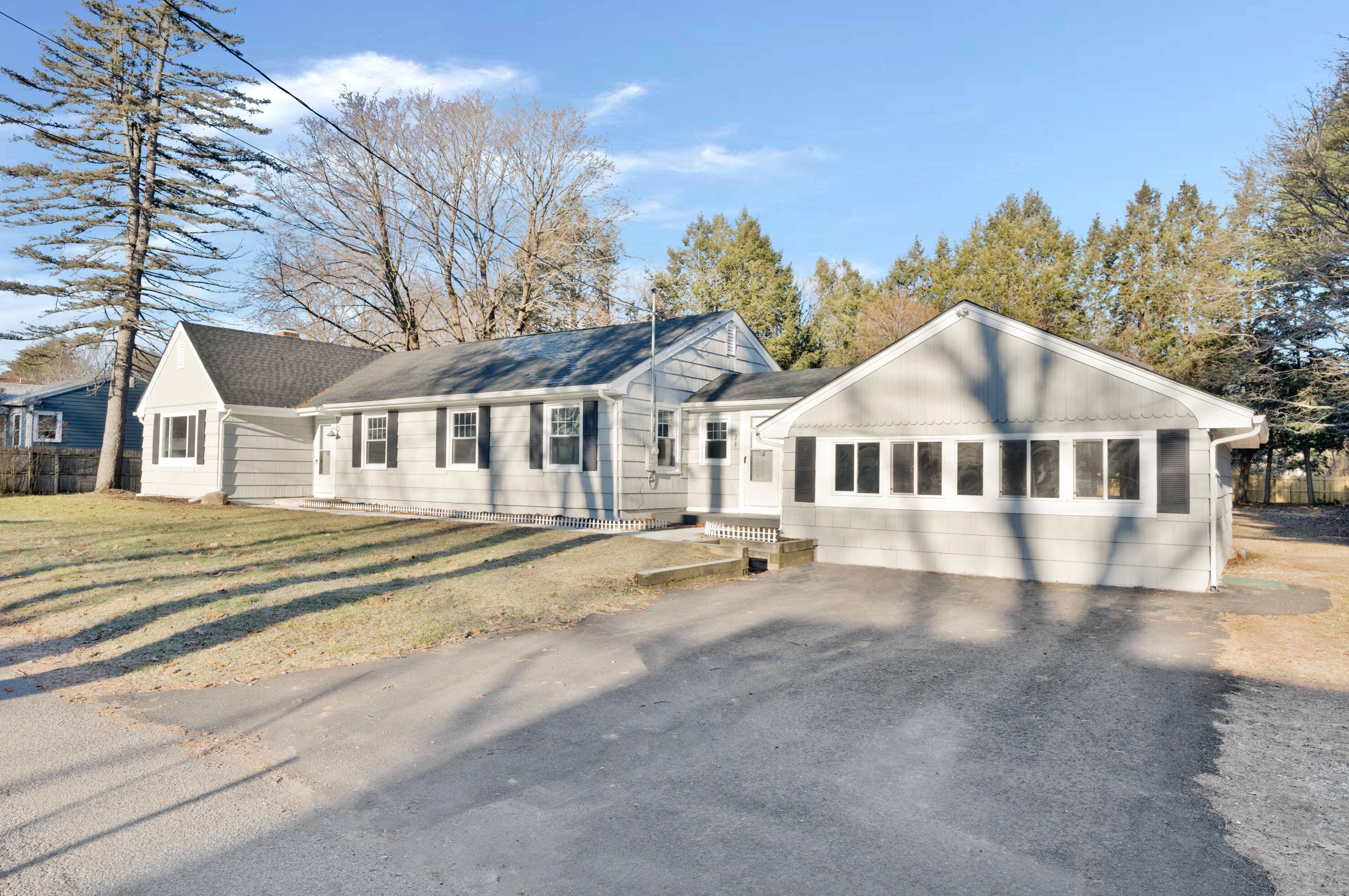
6 Robie St, Gorham, ME 04038-1710 Multi-Family Home
|
19 Robie St, Gorham, ME 04038-1727 Single-Family Home
|
34 Robie St, Gorham, ME 04038-1726 Farm/Ranch
|