Advertisement
Continue Reading Below
Market Activities
To date, we have no information about market activities in 2026
May 2024
Listed for sale
May 2024
Listed for sale
Mar 2024
Listed for sale
Feb 2024
Listed for sale
Hart Ln Fire Incident History
To date, we have no information about fire incidents in 2026
03 Apr 2019
Fire, other
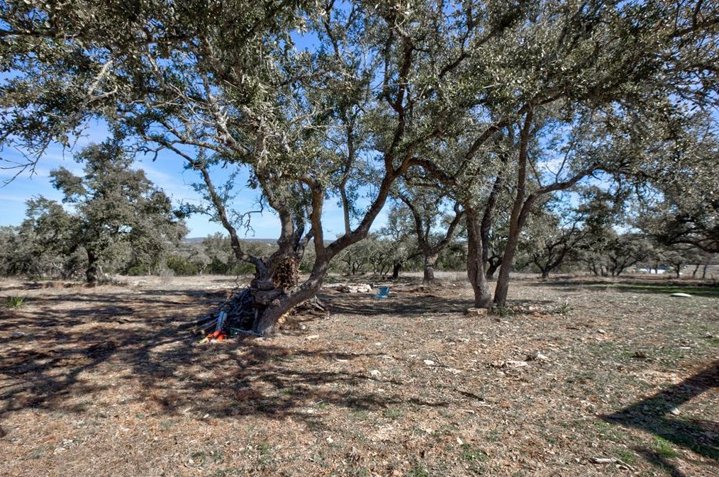
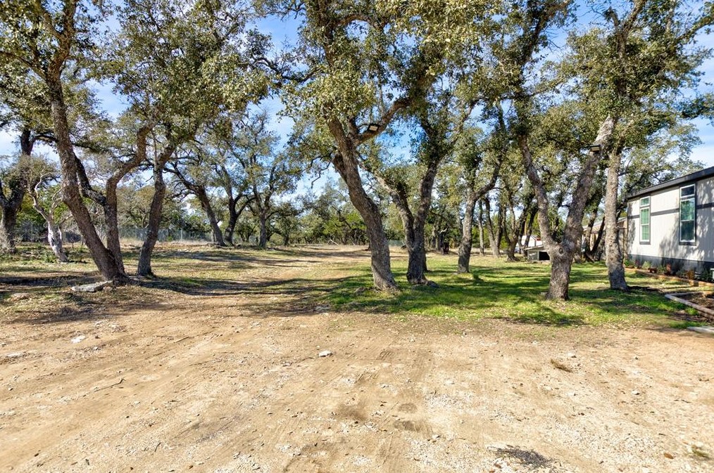
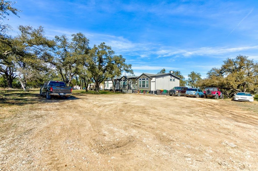
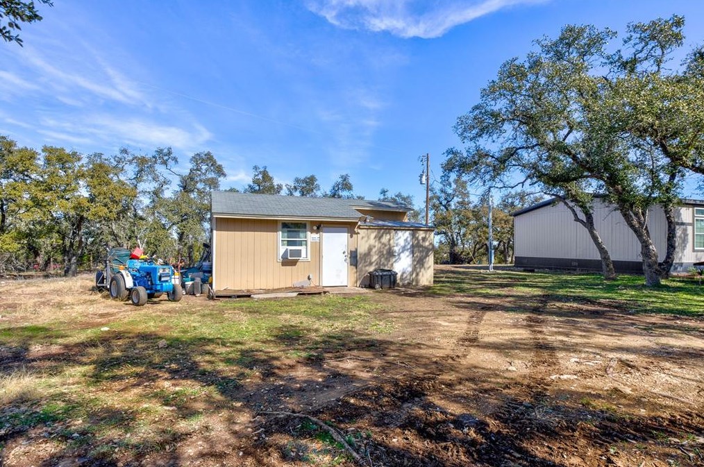
Property Use —
1 or 2 family dwelling
Area of Origin —
Chute; laundry or mail, excluding trash chutes
First Ignition —
Appliance housing or casing
Heat Source —
Hot or smoldering object, other
24 Feb 2016
Outside rubbish, trash or waste fire
Property Use —
1 or 2 family dwelling
Area of Origin —
Outside area, other
05 Jun 2003
Building fires
Property Use —
Outside storage tank
Area of Origin —
Storage: supplies or tools; dead storage
First Ignition —
Box, carton, bag, basket, barrel
Heat Source —
Lightning
819 Hart Ln incidents registered in FEMA
(Federal Emergency Management Agency)
To date, we have no information about incidents registered in FEMA in 2026
19 May 2008
Unauthorized burning
Property Use —
1 or 2 family dwelling
19 May 2008
Unauthorized burning
Property Use —
1 or 2 family dwelling
Hart Ln Incidents registered in FEMA
(Federal Emergency Management Agency)
To date, we have no information about incidents registered in FEMA in 2026
23 May 2015
Arcing, shorted electrical equipment
Property Use —
Open land or field
12 Apr 2013
Authorized controlled burning
Property Use —
Open land or field
30 Dec 2011
Authorized controlled burning
Property Use —
1 or 2 family dwelling
19 May 2008
Unauthorized burning
Property Use —
1 or 2 family dwelling
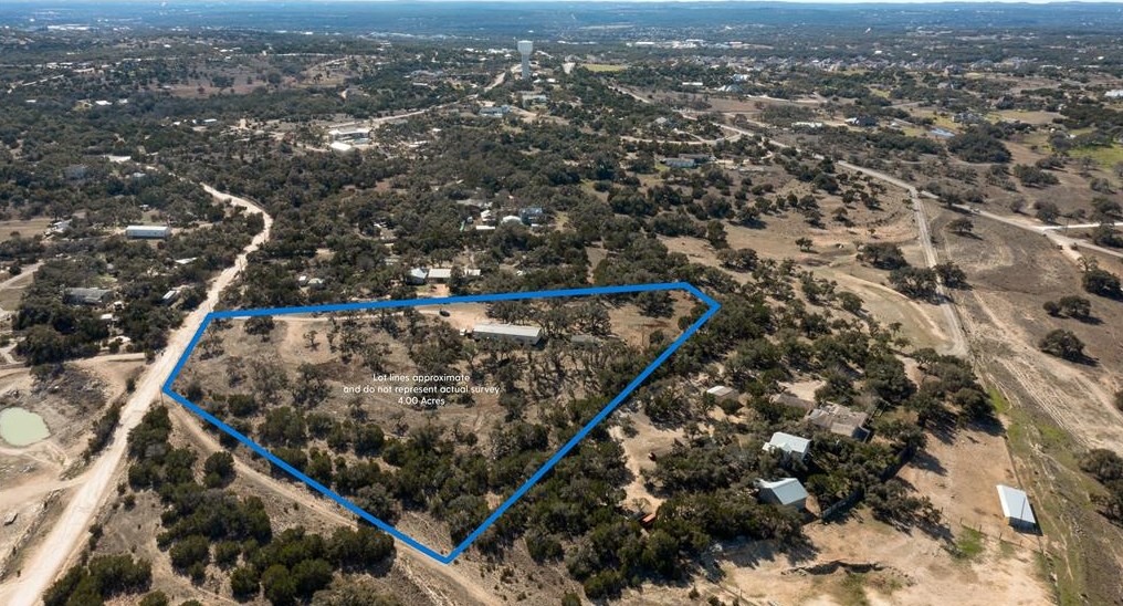
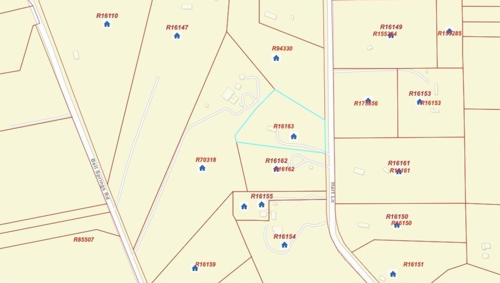
Properties Nearby
| Street Address |
|---|
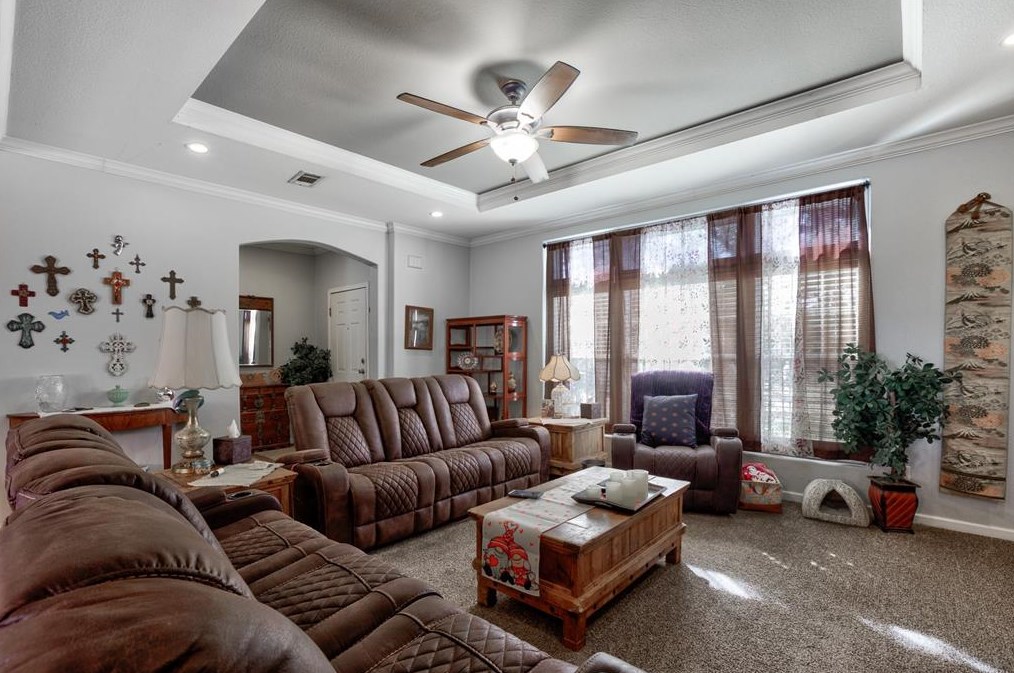
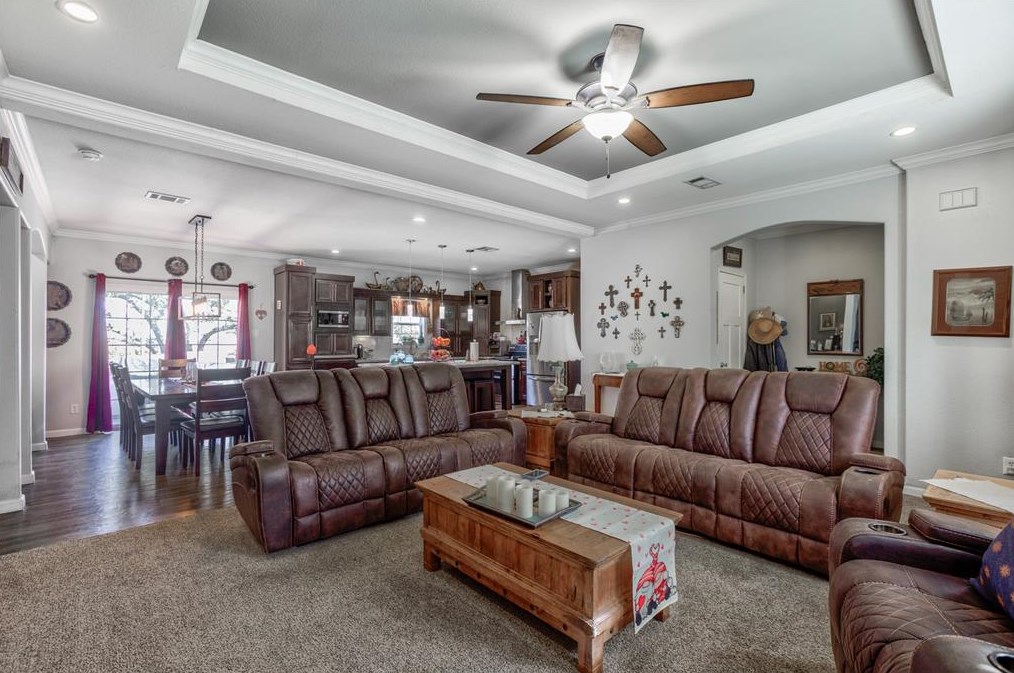
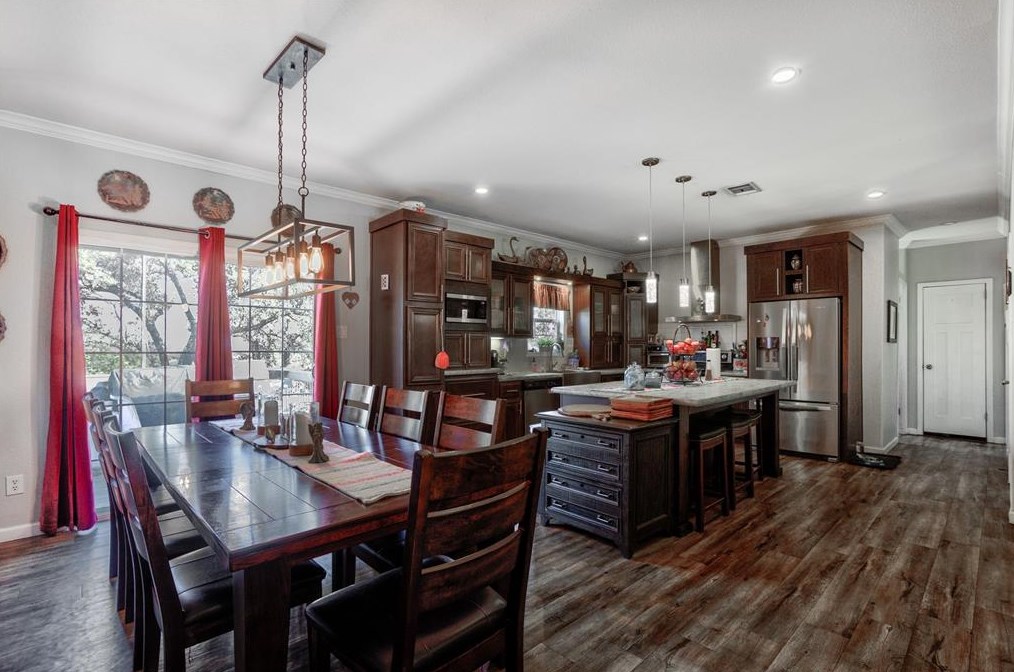
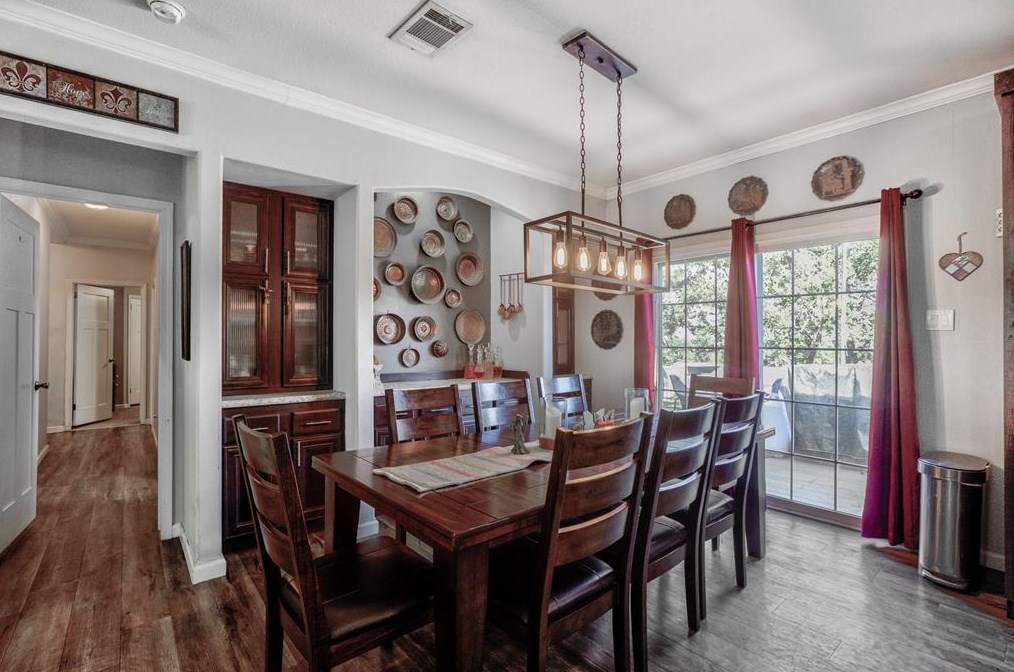
171 Hart Ln, Mount Sharp, TX 78620-3685 Single-Family Home
|
696 Hart Ln, Mount Sharp, TX 78620-3651 Single Family
|
750 Hart Ln, Mount Sharp, TX 78620-3652
|
869 Hart Ln, Mount Sharp, TX 78620-3620 Single-Family Home
|
900 Hart Ln, Mount Sharp, TX 78620-5294 Mobile/Manufactured
|