9 Wight St Raymond, NH 03077 / 2373

(UPDATED: 07/17/2021)
For Rent
$850
Property Report

Information about property on 9 Wight St, Raymond NH, 03077-2373. Find out owner contacts, building history, price, neighborhood at Homemetry Address Directory.

Units

Property details of units in this apartment building

#5

$1,075
For Rent
  • 13,503 sqft
  • 1 bed
  • 1 bath
(Updated: 07/17/2021)

#6

$850
For Rent
(Updated: 06/27/2018)

#2

#3

Property Details

The multi-family estate is placed at 9 Wight Street, Raymond, New Hampshire.

Facts

  • Built in 1900
  • Lot size 0,31 acres
  • Building 1
  • Rooms 14
  • Bedrooms 7
  • Stories 2 story
  • Style Other
  • Heating & Cooling
  • Heat type Hot Water
  • Exterior Home Features
  • Exterior walls Siding (Alum/Vinyl)
  • Roof type Asphalt
Advertisement
Continue Reading Below

Householders and Tenants for 9 Wight St, Raymond NH

Units - Who lives at 9 Wight St, Raymond NH

#51 bed, 1 bath, 13,503 sqft03077-2373
#603077-2373
#2James T Rozier03077-2373
#3Douglas R Towne03077-2373
#4Jessica D Lecolst03077-2373
#7Pamela A Latour03077-2373
#8David A Drew03077-2373

Purchase History

DateEventPriceSourceAgents
01/30/2014 Sold $225,000 Public records
05/11/2012 Sold $123,000 Public records
08/29/2001 Sold $199,000 Public records

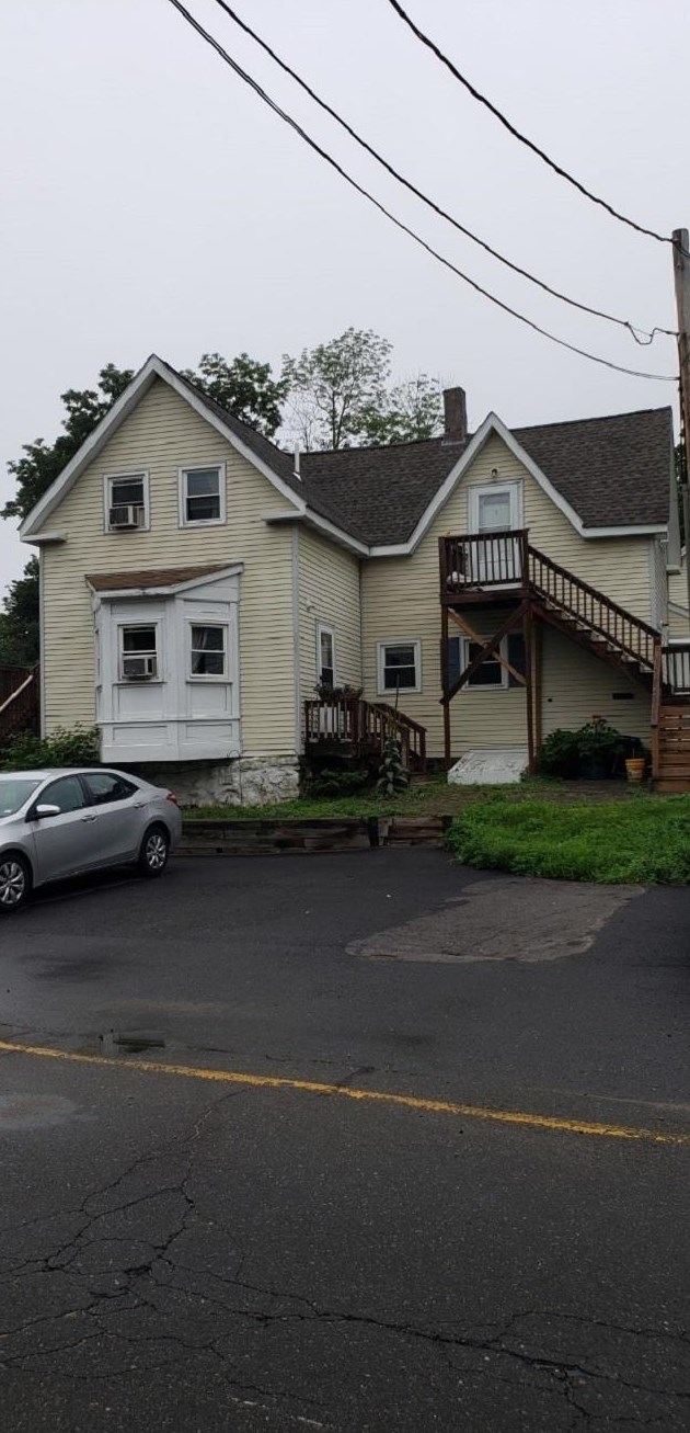
PURCHASE HISTORY 9 Wight St, Raymond NH

08/29/200101/30/2014Date$0$15k$30k$45k$60k$75k$90k$105k$120k$135k$150k$165k$180k$195k$210k$225k$240kPrices

Cost estimate history

YearTaxAssessmentMarket
2013 $6,600 $279,200 N/A
Advertisement
Continue Reading Below

Where is 9 Wight St, Raymond NH located on map?

Market Activities

To date, we have no information about market activities in 2026
Jul 2021 Listed for rent
9 Wight St #5
Price history :
  • Multi-Family
  • 13,503 sqft
  • 1 bed
  • 1 bath
Jul 2021 Listed for rent
9 Wight St #5
Price history :
  • Multi-Family
  • 13,503 sqft
  • 1 bed
  • 1 bath
Jun 2018 Listed for rent
9 Wight St #6
Price history :

View more

9 Wight St incidents registered in FEMA
(Federal Emergency Management Agency)

To date, we have no information about incidents registered in FEMA in 2026
31 Dec 2015 Gas leak (natural gas or LPG)
Property Use —
Multifamily dwellings

Wight St Incidents registered in FEMA
(Federal Emergency Management Agency)

To date, we have no information about incidents registered in FEMA in 2026
31 Dec 2015 Gas leak (natural gas or LPG)
Property Use —
Multifamily dwellings
30 May 2014 Power line down
Property Use —
Electrical distribution
23 Apr 2007 Accident, potential accident, other
Property Use —
Residential street, road or residential driveway

Properties Nearby

Street Address
3 Wight St, Raymond, NH 03077-2311
Multi-Family Home
  • 5 beds
  • 4 baths
  • Lot: 0.27 acres
  • Built in 1900
4 Wight St, Raymond, NH 03077-2312
Single Family Residential
  • 3 beds
  • 2 baths
  • Lot: 3,049 sqft
  • Built in 1880
5 Wight St, Raymond, NH 03077-2311
Single Family Residential
  • 4 beds
  • 2 baths
  • Lot: 0.3 acres
  • Built in 1880
6 Wight St, Raymond, NH 03077-2312
Single Family Residential
  • 1 bed
  • 1 bath
  • Lot: 1,307 sqft
  • Built in 1880
7 Wight St, Raymond, NH 03077-2311
Multi-Family Home
  • 2 beds
  • Lot: 8,712 sqft
  • Built in 1900
8 Wight St, Raymond, NH 03077-2397
Multi-Family Home
  • 6 beds
  • 4 baths
  • Lot: 0.28 acres
  • Built in 1880
10 Wight St, Raymond, NH 03077-4300
Multi-Family Home
  • 4 beds
  • 5 baths
  • Lot: 7,841 sqft
  • Built in 1900
 

FAQ about the house at 9 Wight St, Raymond, NH

Advertisement

NOTICE: You may not use Homemetry or the information it provides to make decisions about employment, credit, housing or any other purpose that would require Fair Credit Reporting Act (FCRA) compliance. Homemetry is not a Consumer Reporting Agency (CRA) as defined by the FCRA and does not provide consumer reports.